Belgium Through History: Who Ruled Its Lands
The land of today's Belgium appears on 39 historical border maps from 500 BC to today. Over that time it was held, in whole or in part, by 14 different states, among them Belgium, Holy Roman Empire, Roman Empire, Luxembourg, Austrian Netherlands.
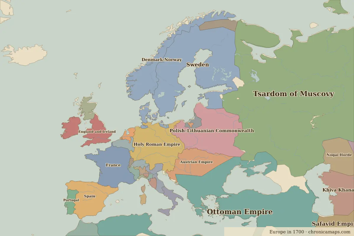 Belgium
Explore the history of Belgium in the interactive map
Who ruled the land of Belgium, map by map
Share of sample points inside today's borders held by each state on each map. Areas with no organised state on the map are left out.
| Map | Main states on this land |
|---|---|
| 1 BC | Roman Empire 100% |
| AD 100 | Roman Empire 100% |
| AD 200 | Roman Empire 100% |
| AD 400 | Western Roman Empire 100% |
| AD 500 | Franks 100% |
| AD 600 | Neustria 79% · Frankish Kingdom 21% |
| AD 700 | Neustria 79% · Frankish Kingdom 21% |
| AD 800 | Carolingian Empire 100% |
| AD 900 | Carolingian Empire 56% · West Francia 44% |
| 1000 | Holy Roman Empire 69% · Kingdom of France 31% |
| 1100 | Holy Roman Empire 69% · Kingdom of France 31% |
| 1200 | Holy Roman Empire 69% · Kingdom of France 31% |
| 1300 | Holy Roman Empire 100% |
| 1400 | Holy Roman Empire 100% |
| 1492 | Holy Roman Empire 100% |
| 1500 | Holy Roman Empire 100% |
| 1600 | Habsburg Netherlands 100% |
| 1650 | Luxembourg 100% |
| 1700 | Luxembourg 100% |
| 1783 | Austrian Netherlands 100% |
| 1800 | Austrian Netherlands 100% |
| 1815 | Austrian Empire 100% |
| 1880 | Belgium 100% |
| 1900 | Belgium 100% |
| 1914 | Belgium 100% |
| 1920 | Belgium 100% |
| 1930 | Belgium 100% |
| 1938 | Belgium 100% |
| 1945 | Belgium 100% |
| 1960 | Belgium 100% |
| 1994 | Belgium 100% |
| 2010 | Belgium 100% |
Historic cities in Belgium
Famous people of Belgium
| Lived | Person | |
|---|---|---|
| 1500 – 1558 | Charles V | Holy Roman Emperor and King of Spain |
| 1577 – 1640 | Peter Paul Rubens | Painter |
Battles and historic sites
| Year | Battle or site |
|---|---|
| 1815 | Battle of Waterloo |
| 1992 | Maastricht |
Questions
Which empires and states ruled the territory of Belgium?
On the border maps from 500 BC to today, the largest shares of the territory of modern Belgium belonged to Belgium, Holy Roman Empire, Roman Empire, Luxembourg, Austrian Netherlands, Neustria, along with 8 other states.
What was Belgium part of in 1000?
On the border map for 1000, most of the territory of today's Belgium lay within Holy Roman Empire.
What was Belgium part of in 1500?
On the border map for 1500, most of the territory of today's Belgium lay within Holy Roman Empire.
What was Belgium part of in 1900?
On the border map for 1900, most of the territory of today's Belgium lay within Belgium.
Further reading
Last updated 9 November 2026. Sources: border data from historical-basemaps, land and rivers from Natural Earth; texts written for Chronica Maps from standard reference works. How we make the maps.