Maastricht 1992
The Maastricht Treaty is signed and the European Union is born.
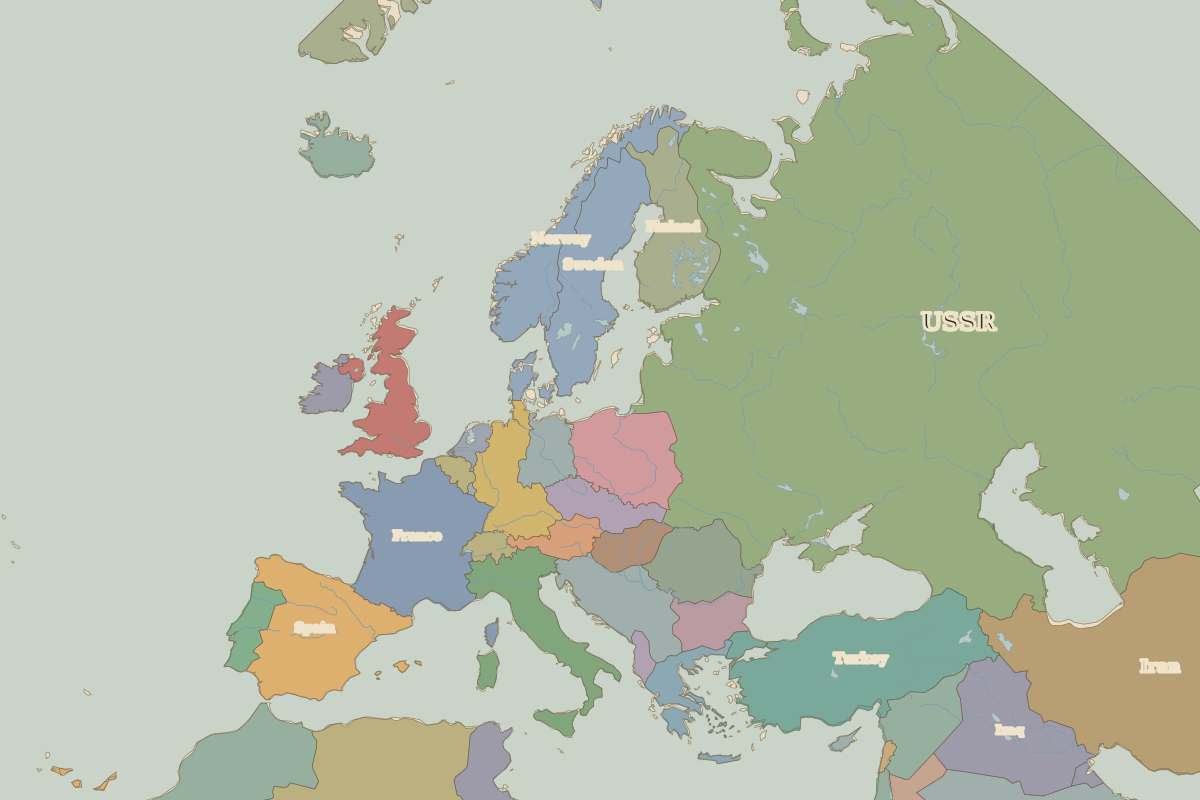 Maastricht
Open Maastricht in the interactive map
Key facts
| Date | 1992 |
| Type | Historic site or event |
| Location | 50.85° N, 5.69° E |
| Nearest city on the map | Aachen (about 28 km) |
| Territory of (map of 1960) | Belgium |
Rulers in 1992
| Realm | Ruler | Reign |
|---|
| Franks / HRE / Germany | Kohl (chancellor) | 1982–1998 |
| France | Mitterrand | 1981–1995 |
| England / UK | Elizabeth II | 1952–2022 |
| Spain | Juan Carlos I | 1975–2014 |
| Rus' / Russia | Yeltsin | 1991–1999 |
Europe around 1992
| Year | Event | Where |
|---|
| 1989 | Fall of the Berlin Wall | Berlin |
| 1990 | Baltic states declare restored independence | Vilnius |
| 1991 | Dissolution of the Soviet Union | Moscow |
Other battles and sites nearby