Battle of Crécy 1346
English longbowmen cut down French knights in an early English victory of the Hundred Years' War.
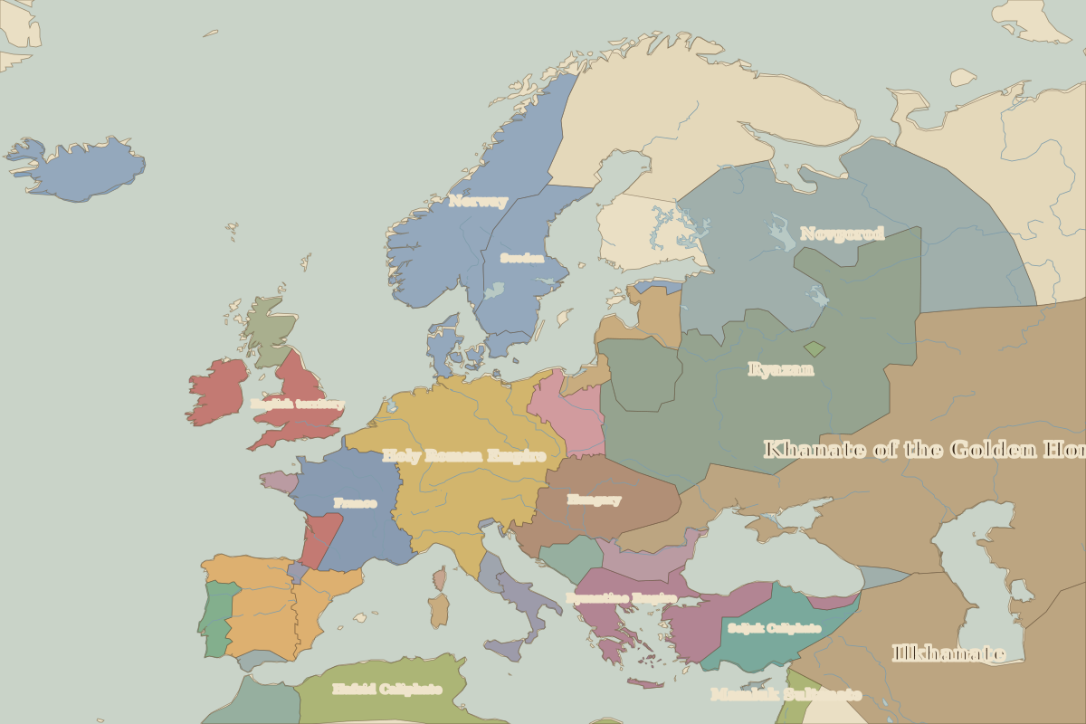 Crécy
Open Battle of Crécy in the interactive map
Key facts
Rulers in 1346
| Realm | Ruler | Reign |
|---|
| Byzantium | John V | 1341–1391 |
| Franks / HRE / Germany | Louis IV | 1314–1347 |
| France | Philip VI | 1328–1350 |
| England / UK | Edward III | 1327–1377 |
| Ottomans / Turkey | Orhan | 1324–1362 |
The world around 1346
| Year | Event | Where |
|---|
| 1347 | The Black Death reaches Europe | |
Other battles and sites nearby