Versailles 1919
Louis XIV's palace; the German Empire was proclaimed in its Hall of Mirrors in 1871, and the Treaty of Versailles signed there in 1919.
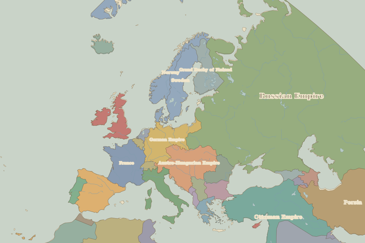 Versailles
Open Versailles in the interactive map
Key facts
| Date | 1919 |
| Type | Historic site or event |
| Location | 48.80° N, 2.12° E |
| Nearest city on the map | Paris (about 18 km) |
| Territory of (map of 1914) | France |
Rulers in 1919
| Realm | Ruler | Reign |
|---|
| Franks / HRE / Germany | Ebert (Weimar president) | 1919–1925 |
| France | Third Republic | 1870–1940 |
| England / UK | George V | 1910–1936 |
| Rus' / Russia | Lenin | 1917–1924 |
| Ottomans / Turkey | Mehmed VI | 1918–1922 |
The world around 1919
Other battles and sites nearby