Battle of Orléans 1429
Joan of Arc relieves the siege of Orléans and turns the tide of the Hundred Years' War.
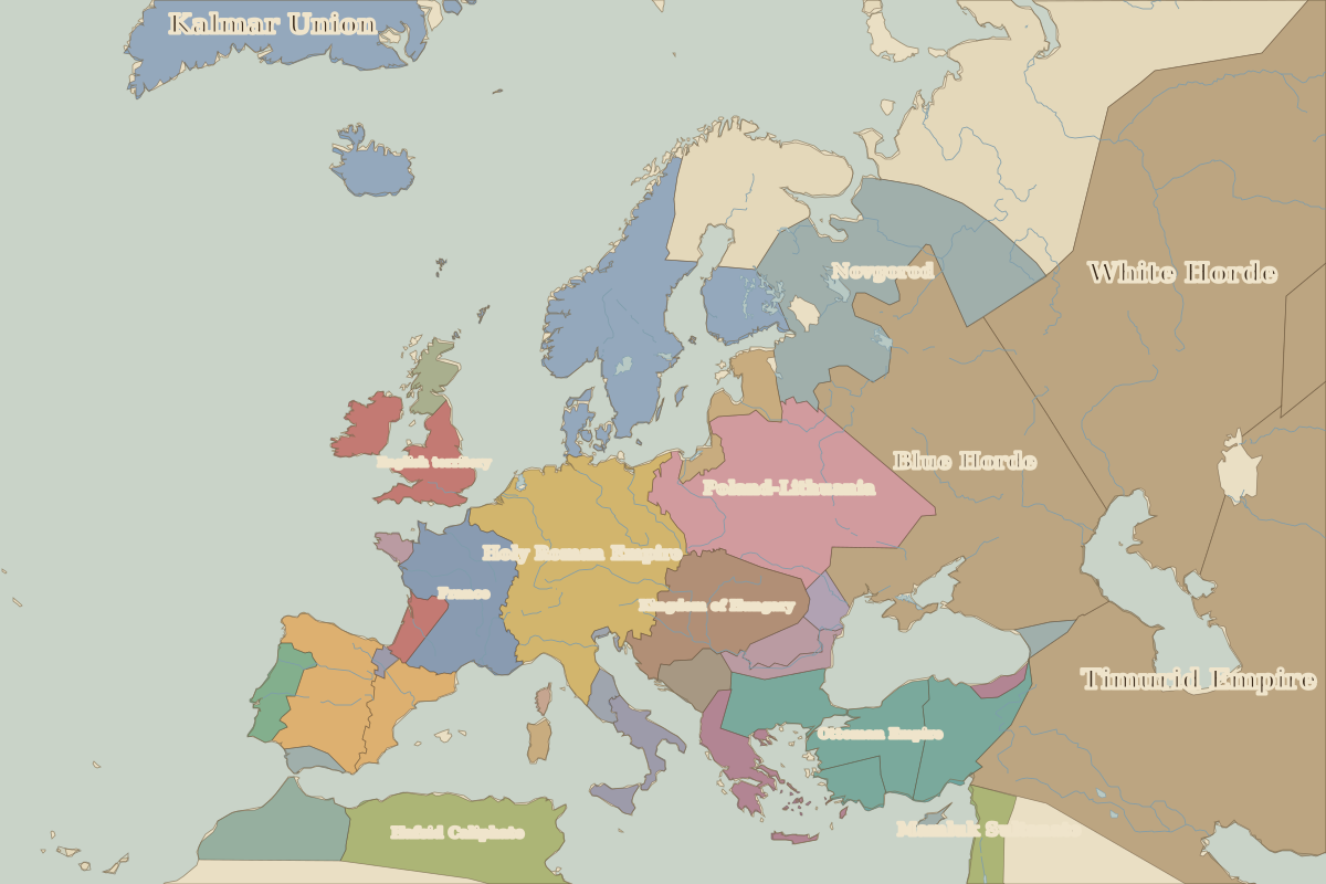 Orléans
Open Battle of Orléans in the interactive map
Key facts
| Date | 1429 |
| Type | Battle |
| Location | 47.90° N, 1.90° E |
| Nearest city on the map | Paris (about 112 km) |
| Territory of (map of 1400) | France |
Rulers in 1429
| Realm | Ruler | Reign |
|---|---|---|
| Byzantium | John VIII | 1425–1448 |
| Franks / HRE / Germany | Sigismund | 1411–1437 |
| France | Charles VII | 1422–1461 |
| England / UK | Henry VI | 1422–1461 |
| Ottomans / Turkey | Murad II | 1421–1451 |
Other battles and sites nearby
- Battle of Alesia · 52 BC
- Battle of the Catalaunian Plains · AD 451
- Battle of Tours–Poitiers · AD 732
- Clermont · 1095
- Battle of Crécy · 1346
- Battle of Agincourt · 1415
- Battle of Sedan · 1870
- Battle of Verdun · 1916
- Battle of the Somme · 1916
- Versailles · 1919
- Normandy Landings · 1944