Battle of the Catalaunian Plains AD 451
The Western general Aetius, allied with the Visigoths, halts Attila's Huns in Gaul.
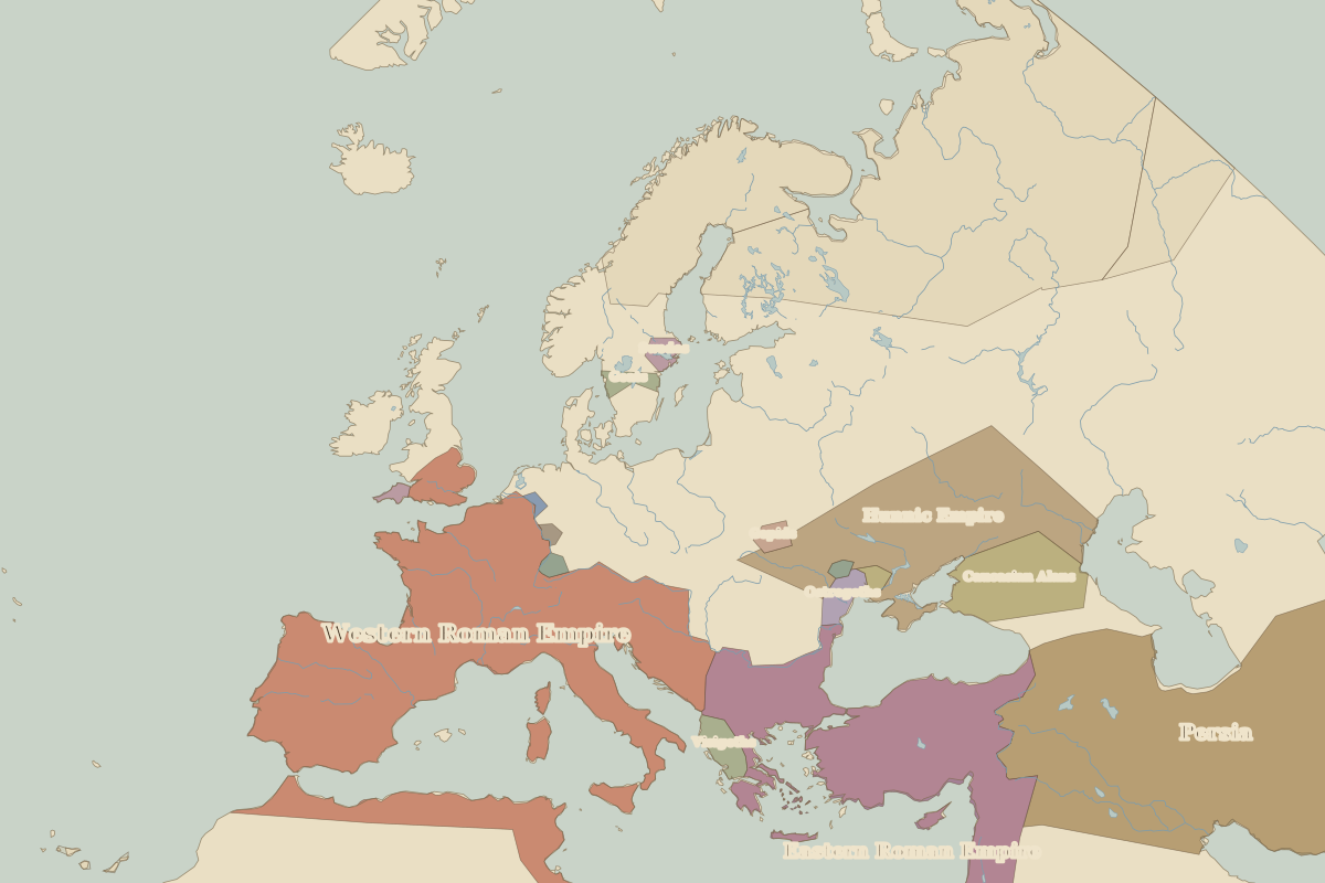 Catalaunian Plains
Open Battle of the Catalaunian Plains in the interactive map
Key facts
| Date | AD 451 |
| Type | Battle |
| Location | 48.95° N, 4.36° E |
| Nearest city on the map | Paris (about 147 km) |
| Territory of (map of AD 400) | Western Roman Empire |
Rulers in AD 451
| Realm | Ruler | Reign |
|---|---|---|
| Rome | Valentinian III (West) | 425–455 |
| Byzantium | Marcian | 450–457 |
Other battles and sites nearby
- Battle of Alesia · 52 BC
- Battle of Crécy · 1346
- Battle of Agincourt · 1415
- Battle of Orléans · 1429
- Battle of Gravelines · 1588
- Battle of Waterloo · 1815
- Battle of Sedan · 1870
- Battle of Verdun · 1916
- Battle of the Somme · 1916
- Versailles · 1919
- Maastricht · 1992