Historical World Maps by Year
39 world border maps from 500 BC to 2010, showing the empires and states of Europe, Asia, Africa, the Americas and Oceania.
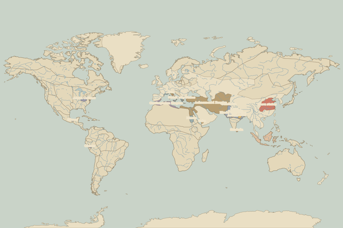 The world in 500 BC
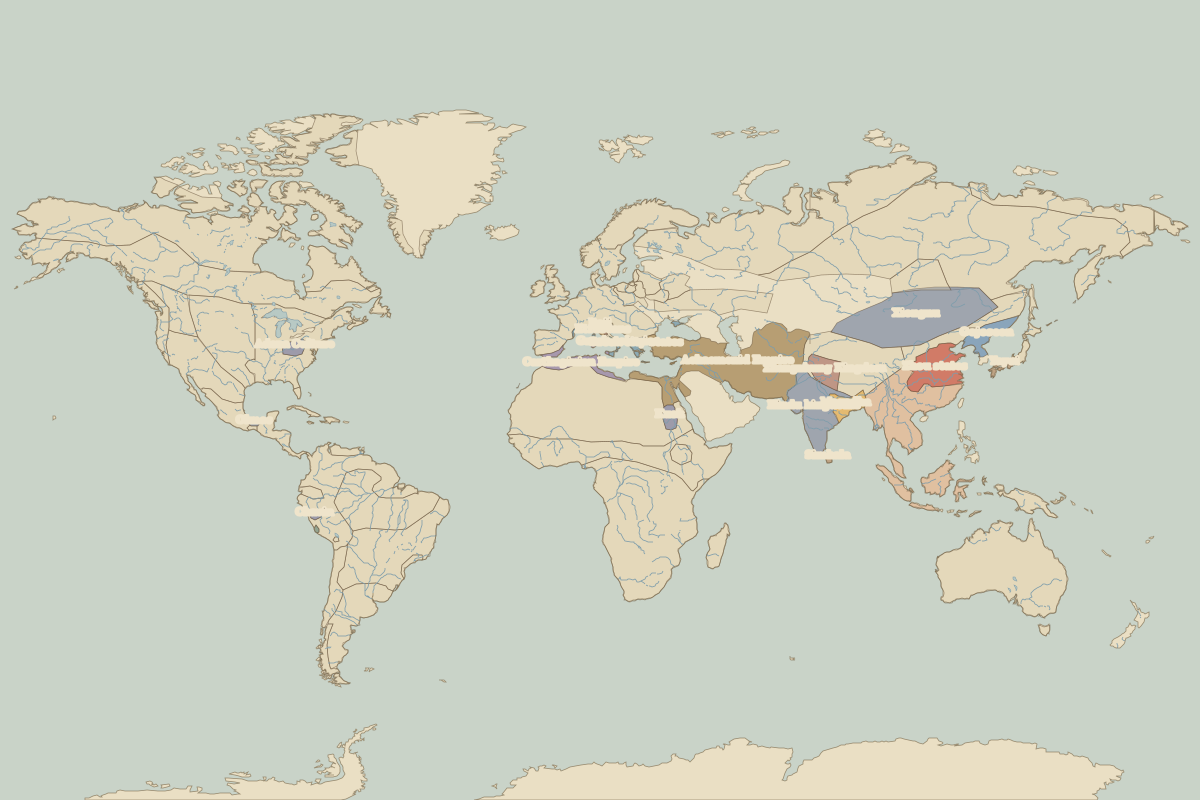 The world in 400 BC
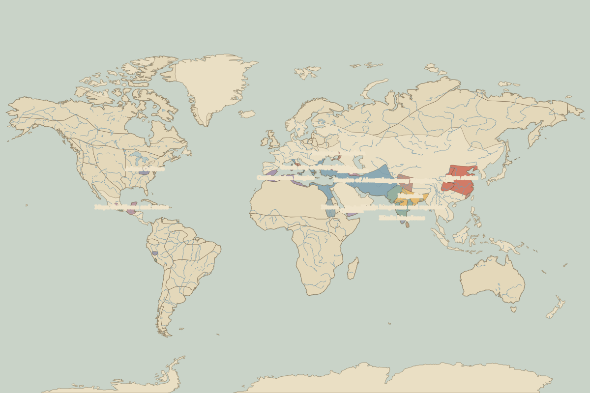 The world in 323 BC
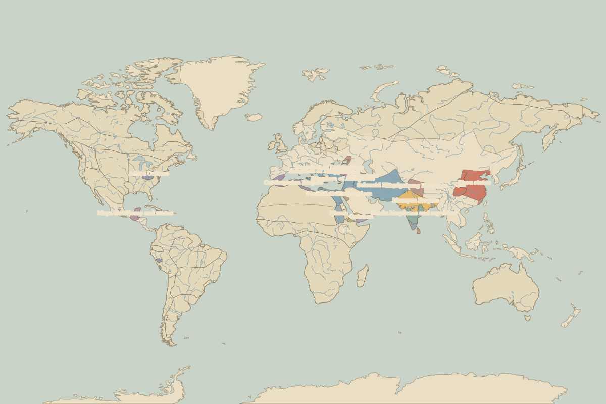 The world in 300 BC
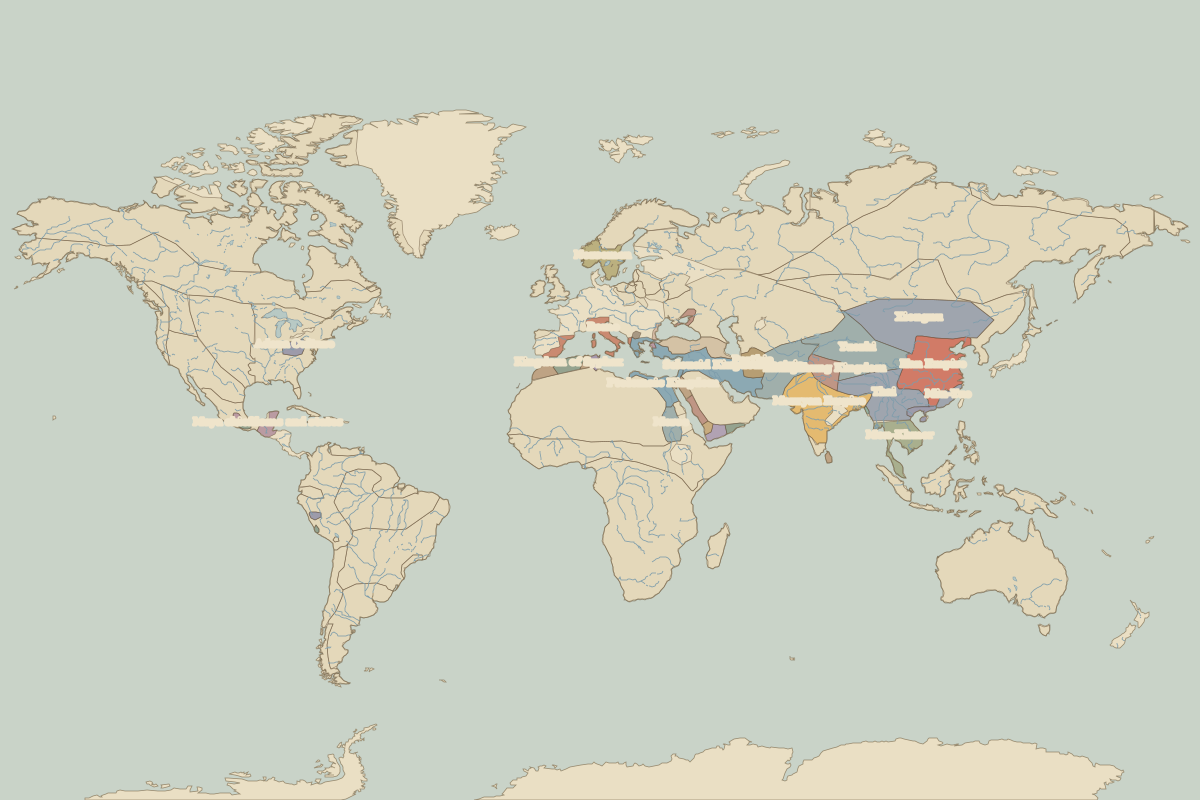 The world in 200 BC
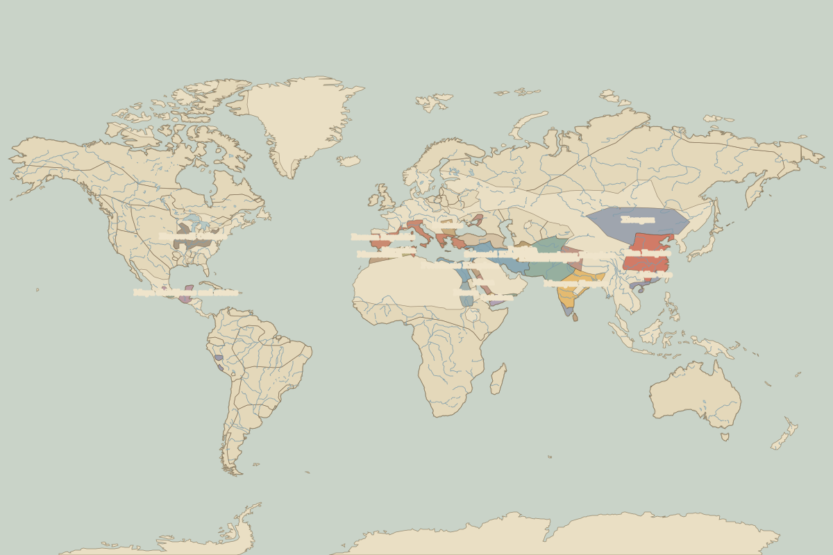 The world in 100 BC
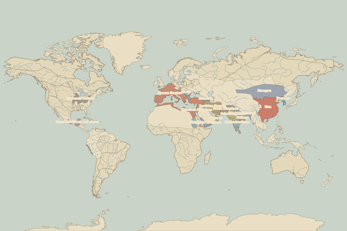 The world in 1 BC
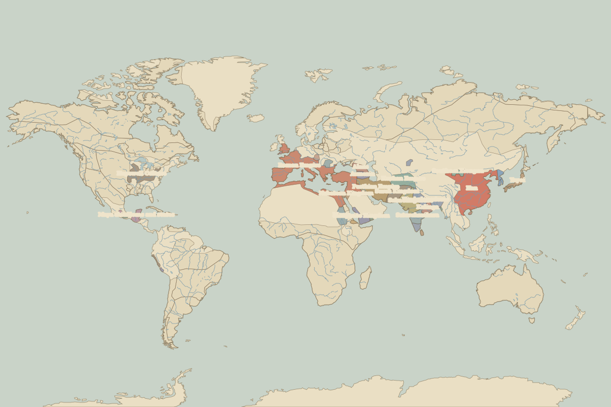 The world in AD 100
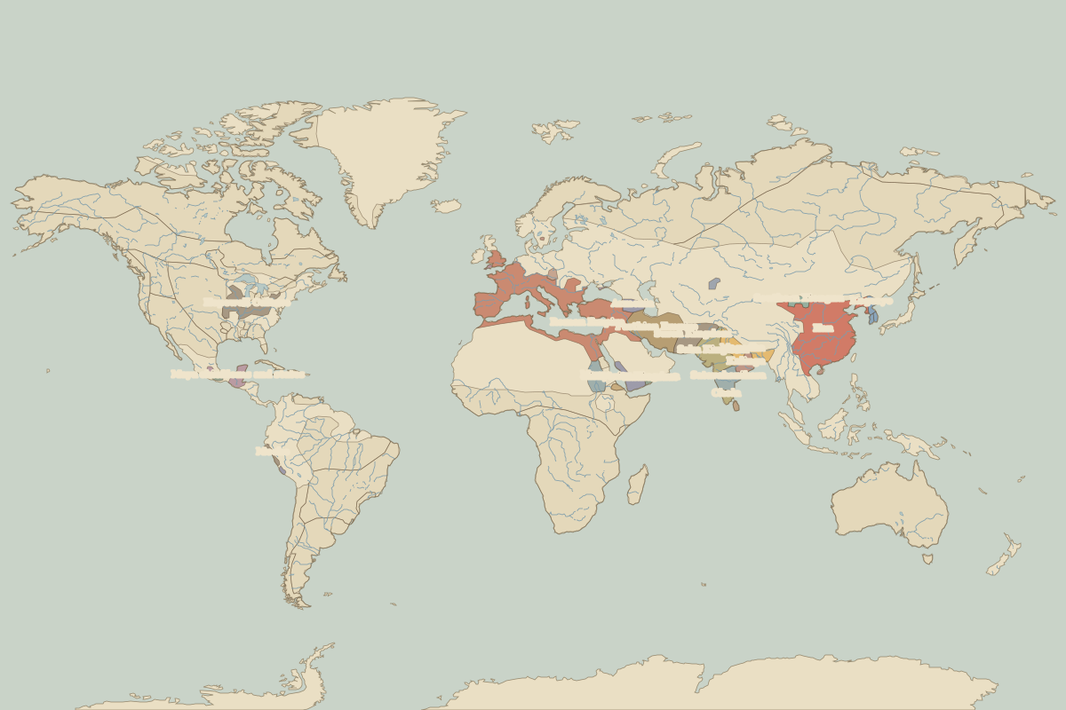 The world in AD 200
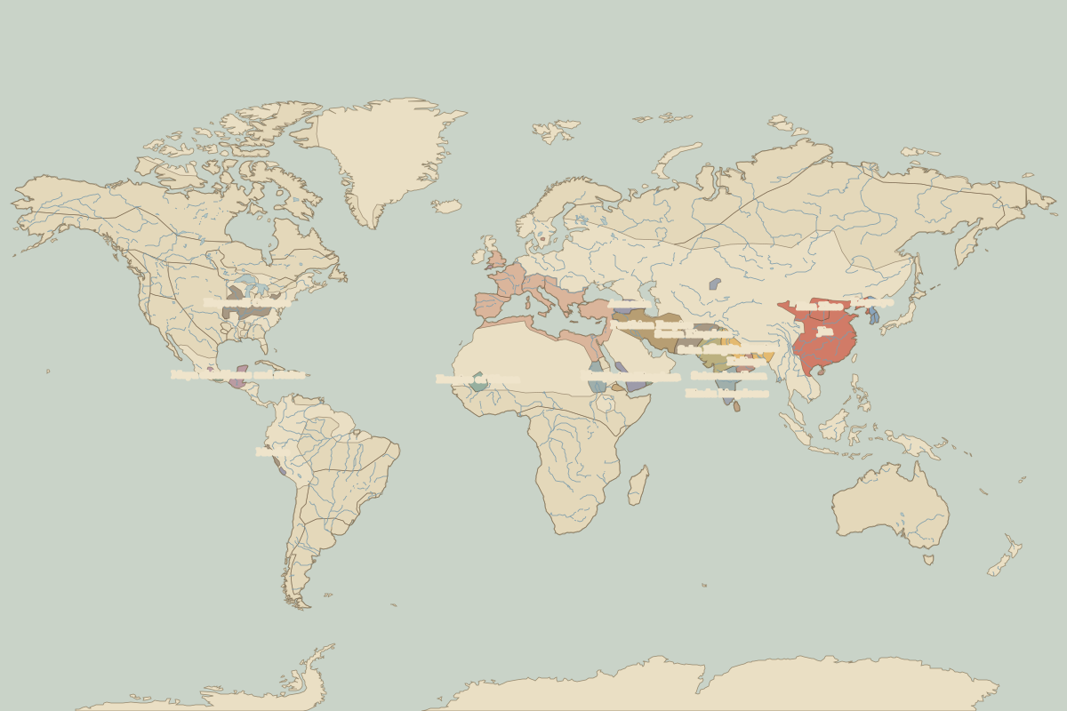 The world in AD 300
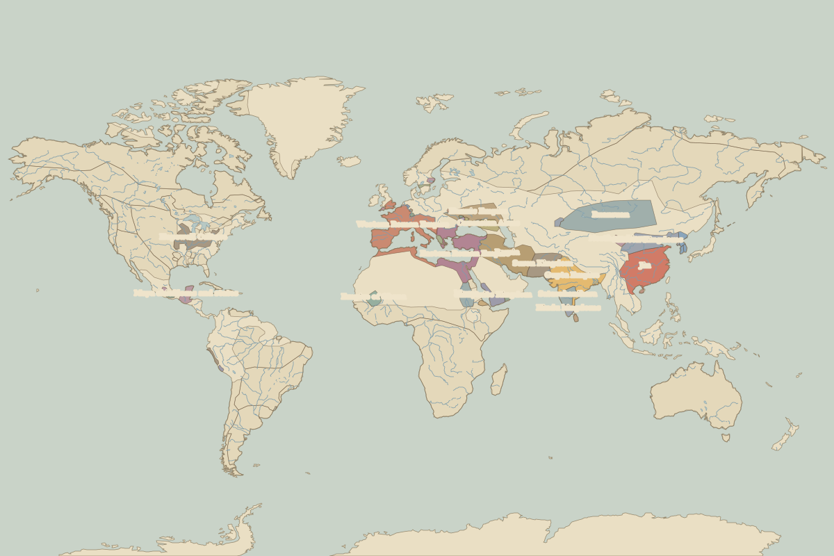 The world in AD 400
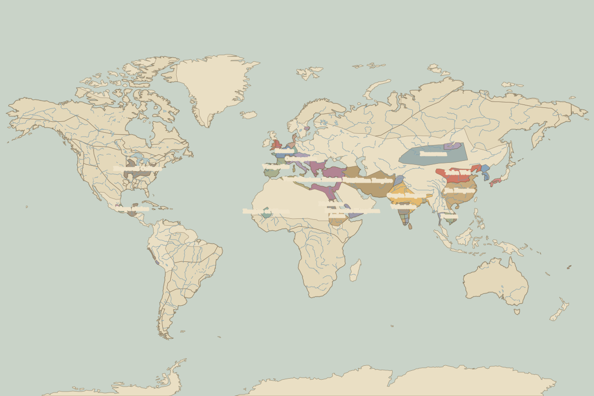 The world in AD 500
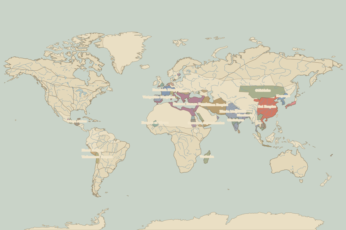 The world in AD 600
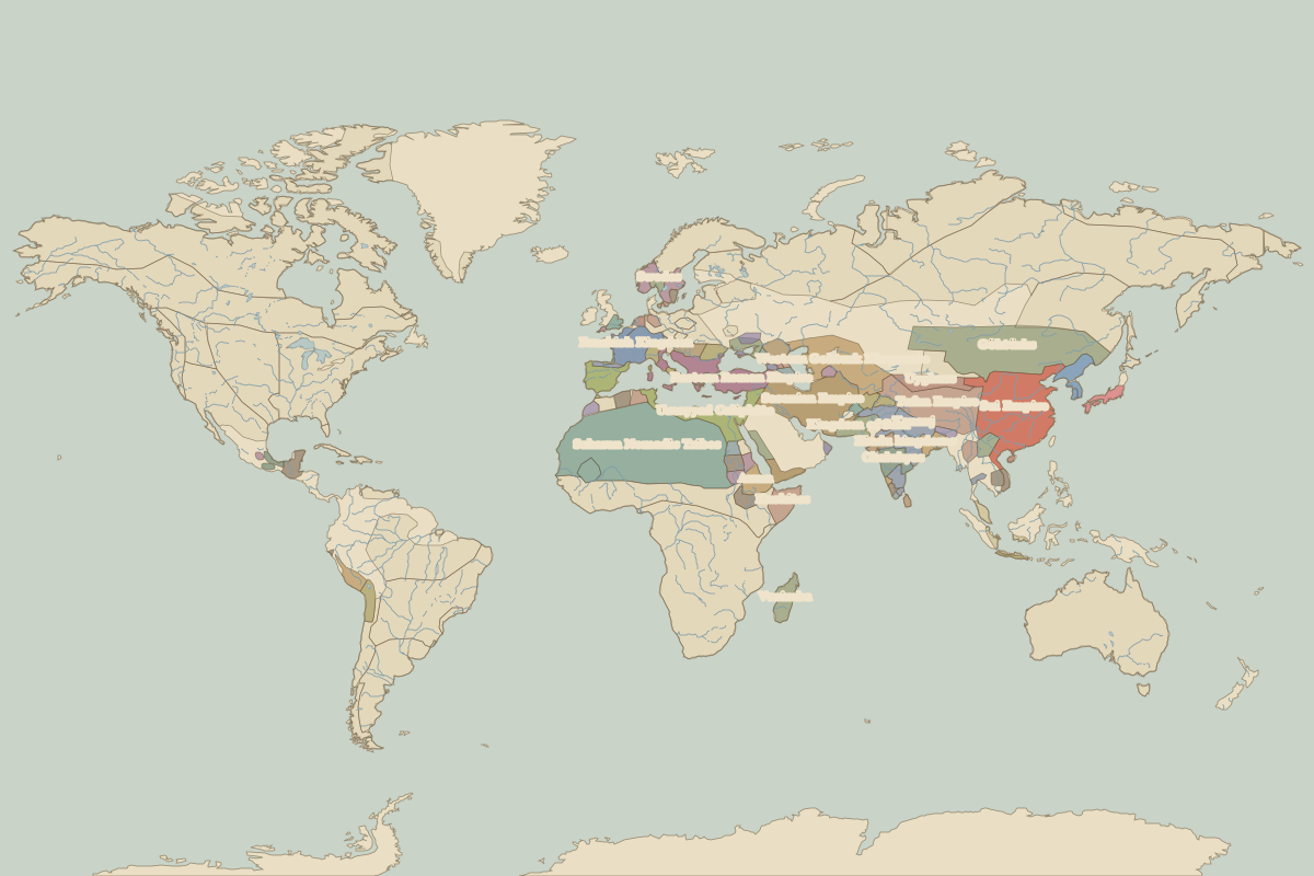 The world in AD 700
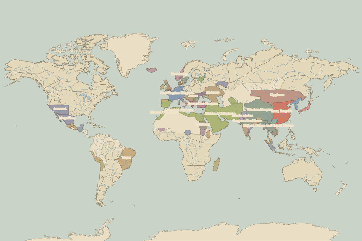 The world in AD 800
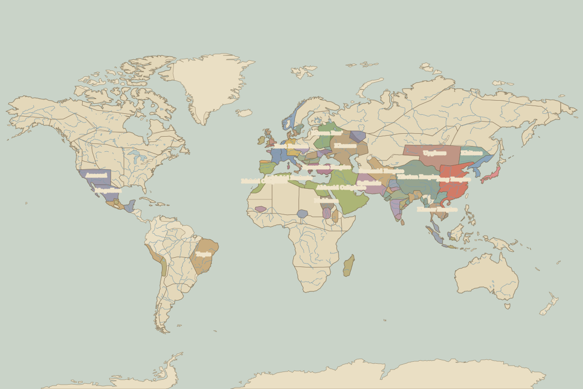 The world in AD 900
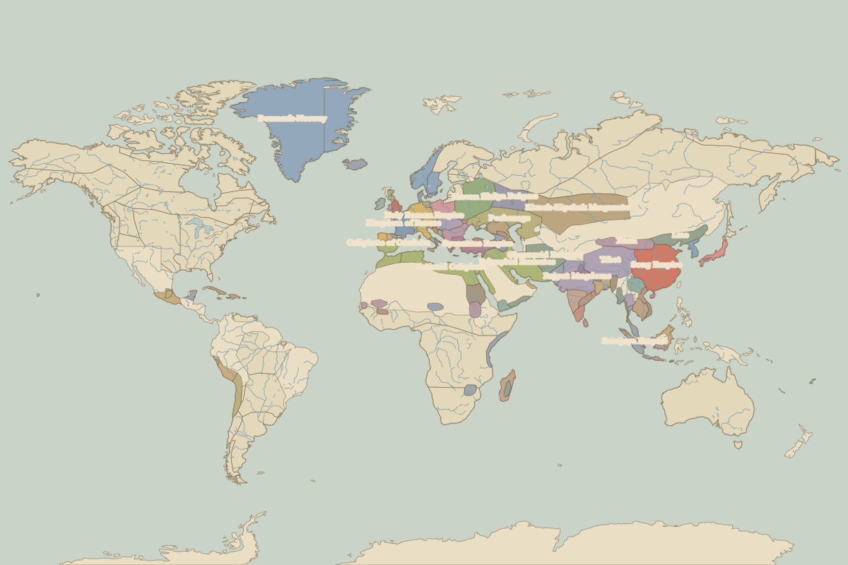 The world in 1000
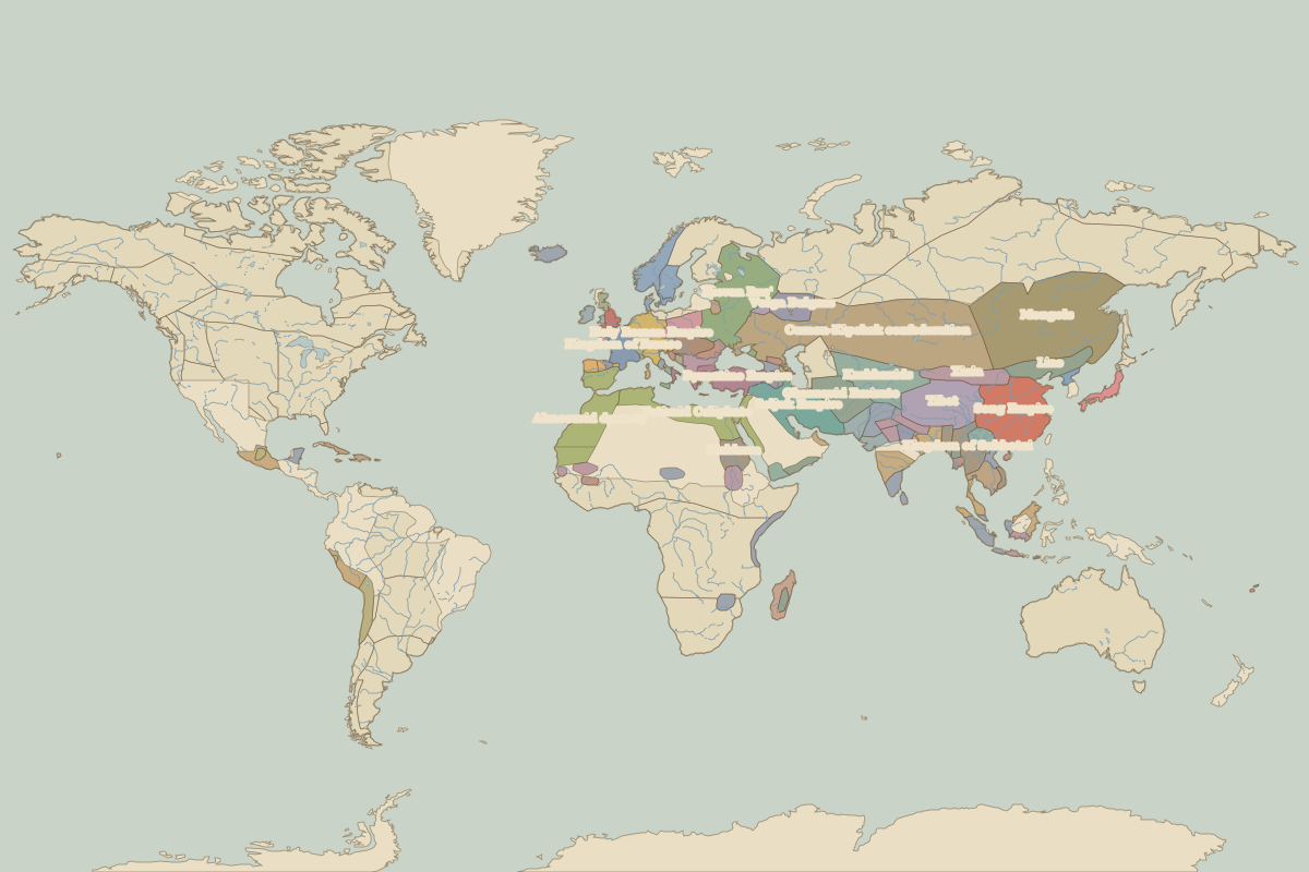 The world in 1100
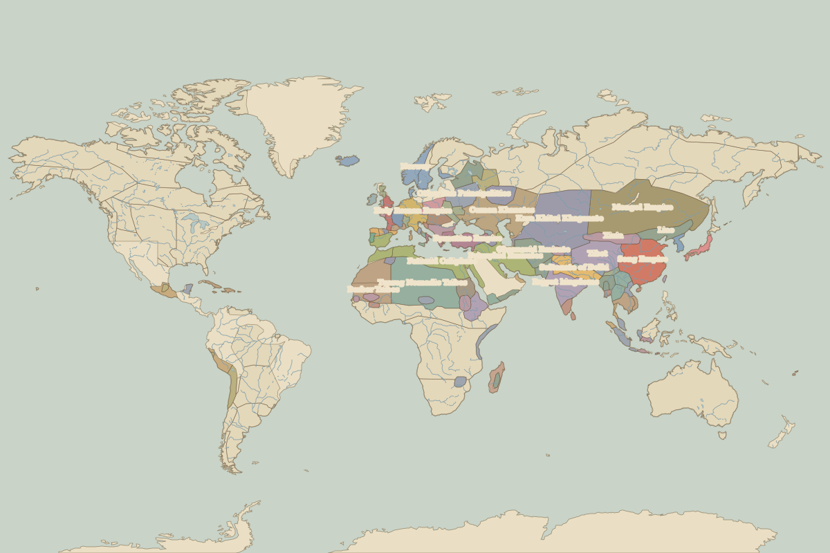 The world in 1200
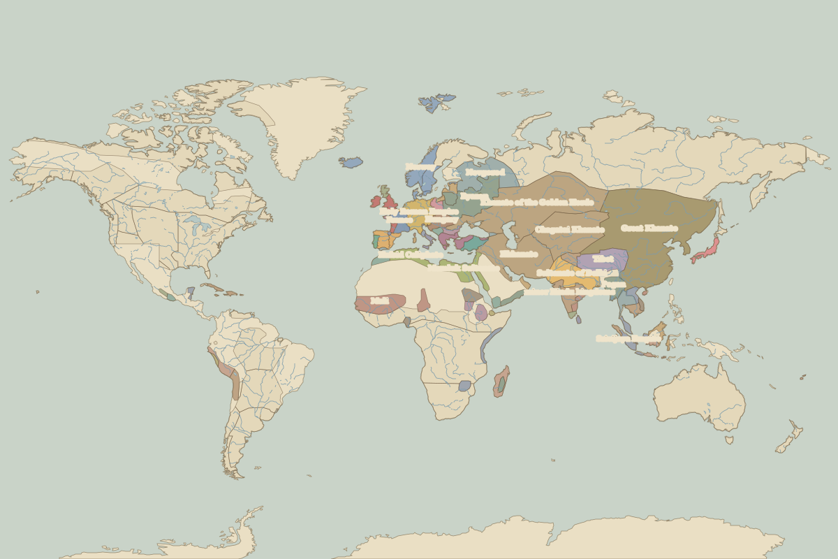 The world in 1300
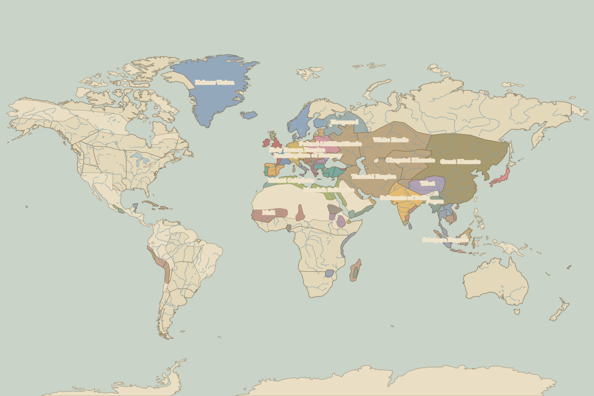 The world in 1400
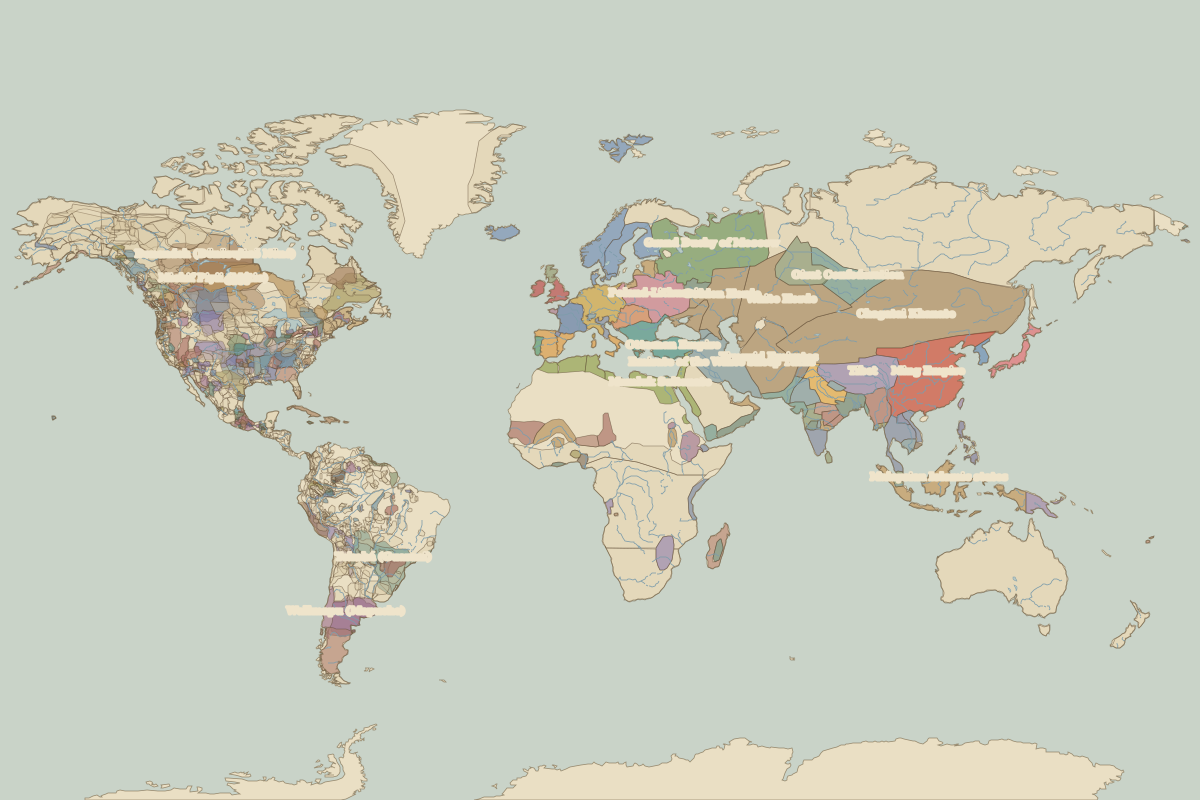 The world in 1492
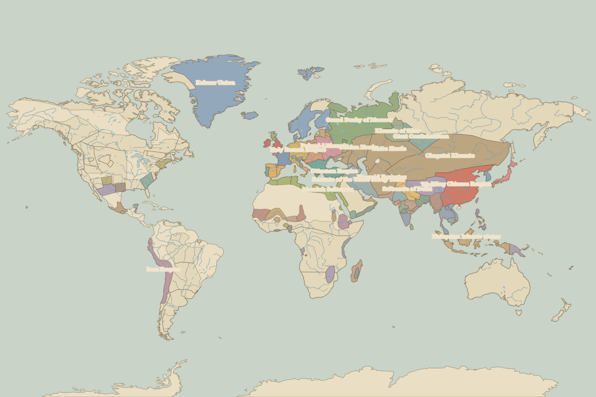 The world in 1500
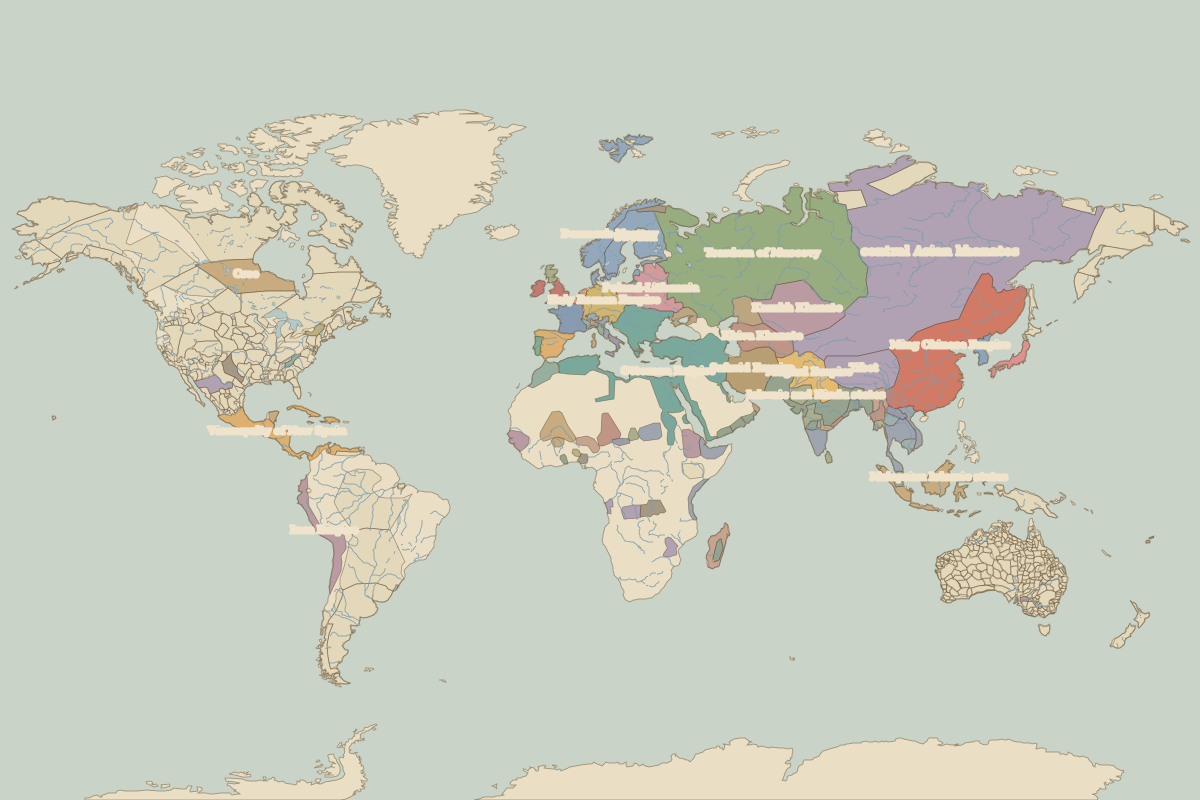 The world in 1600
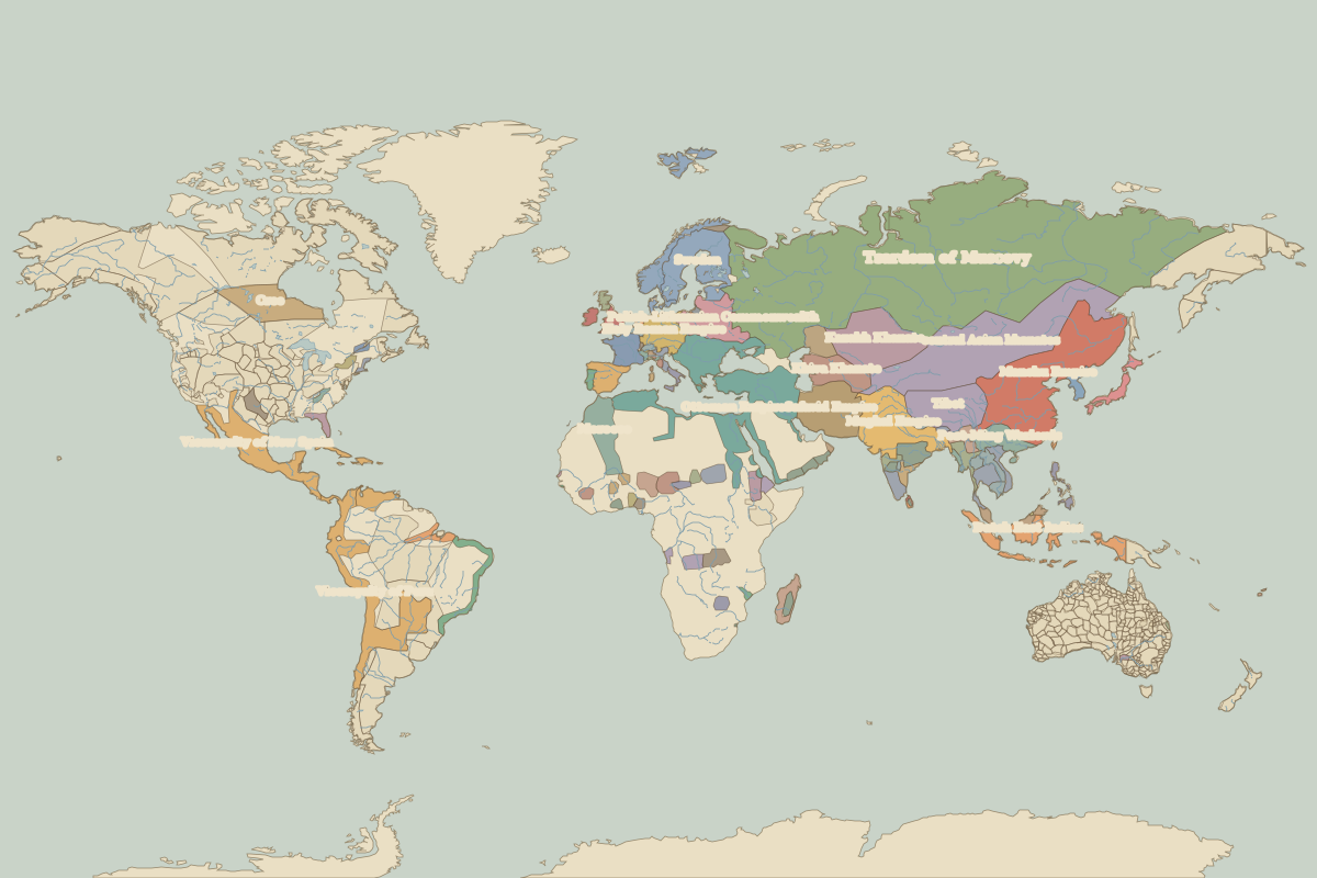 The world in 1650
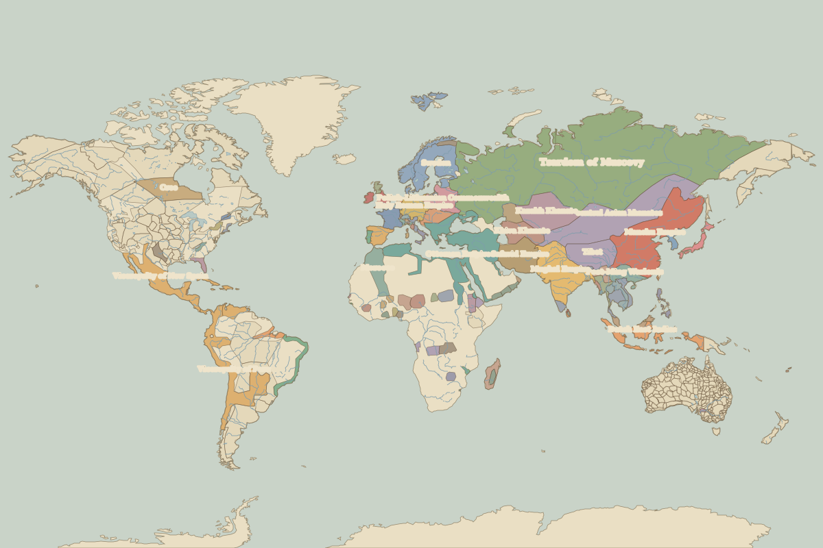 The world in 1700
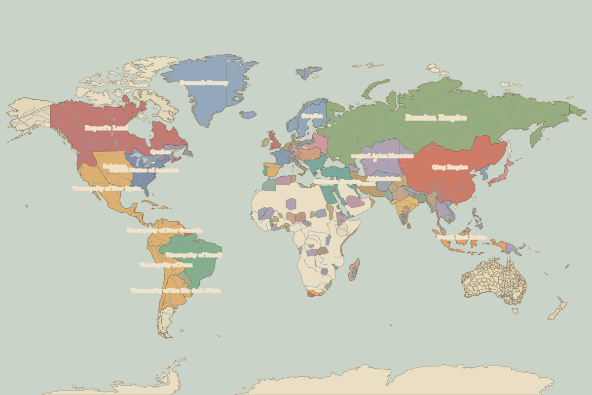 The world in 1783
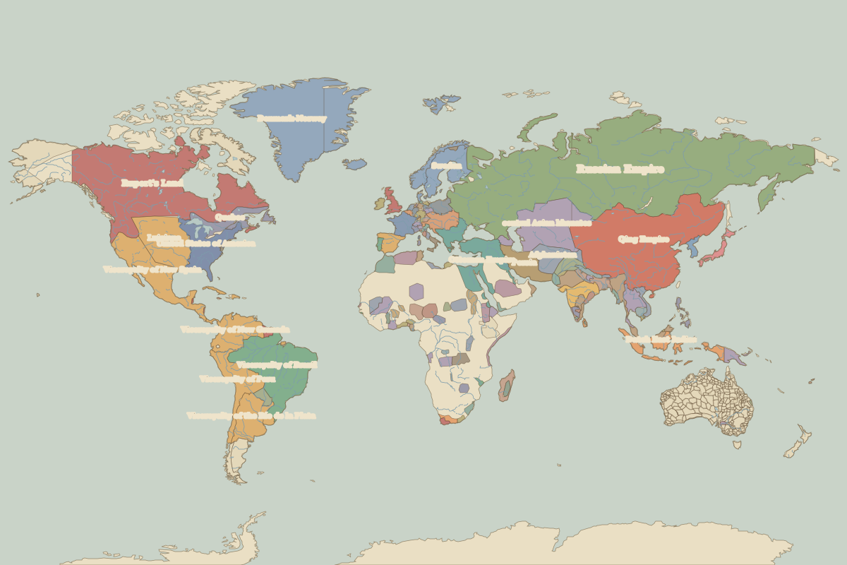 The world in 1800
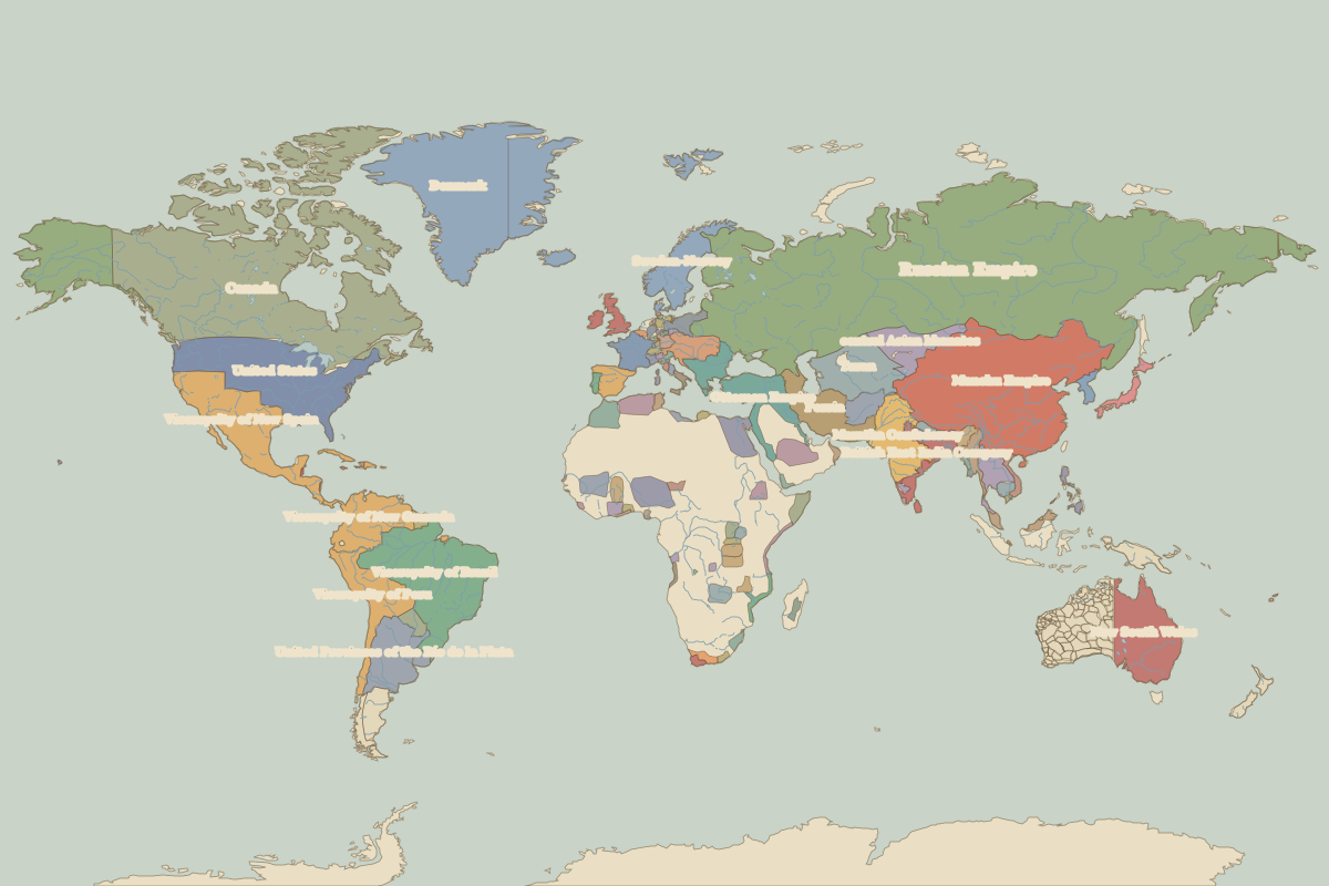 The world in 1815
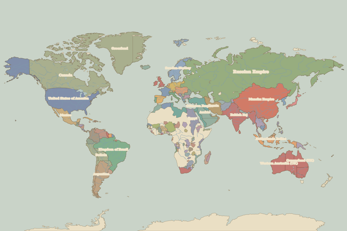 The world in 1880
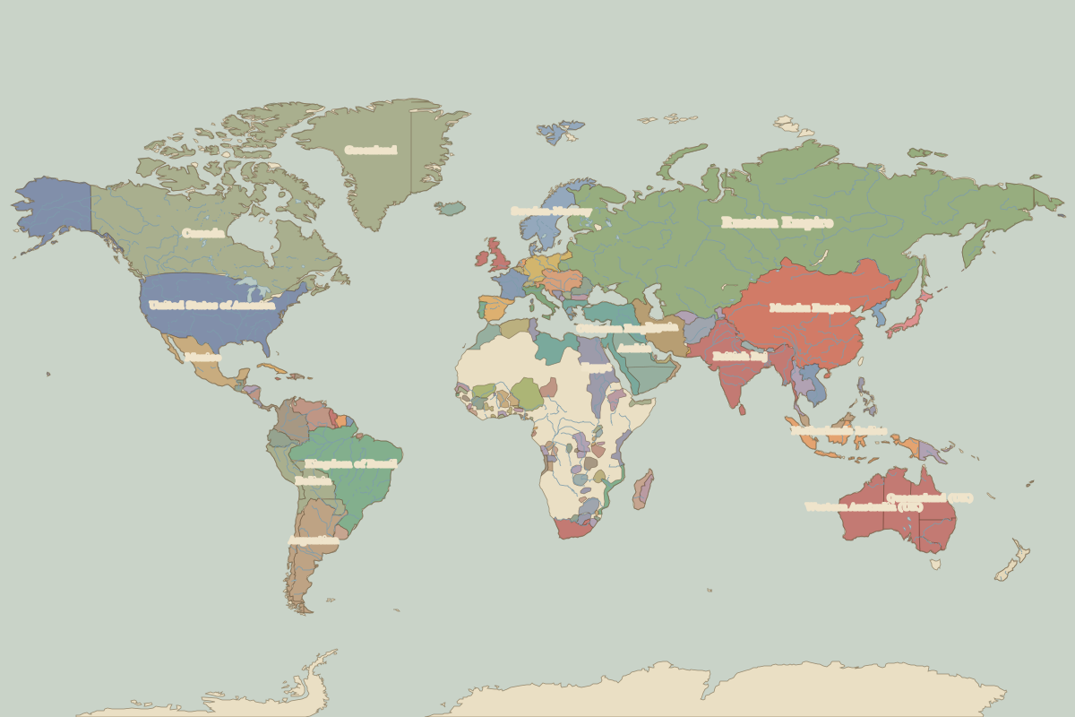 The world in 1900
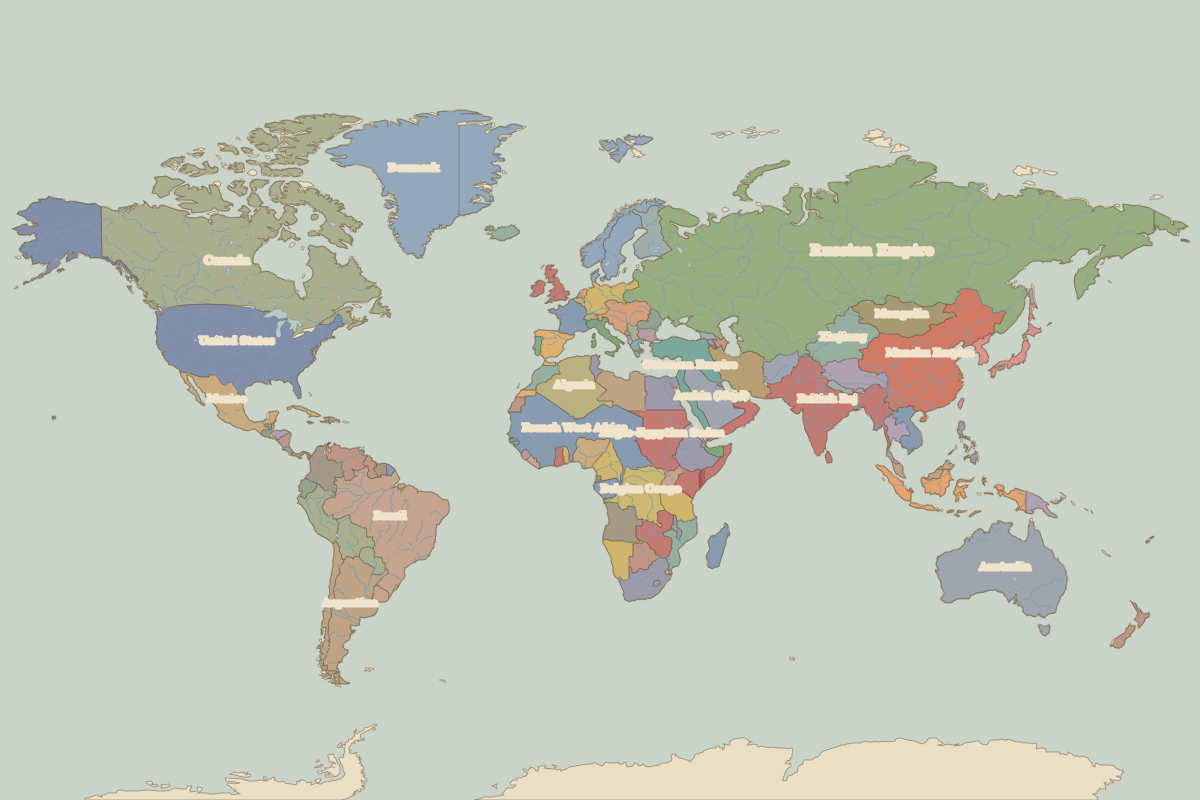 The world in 1914
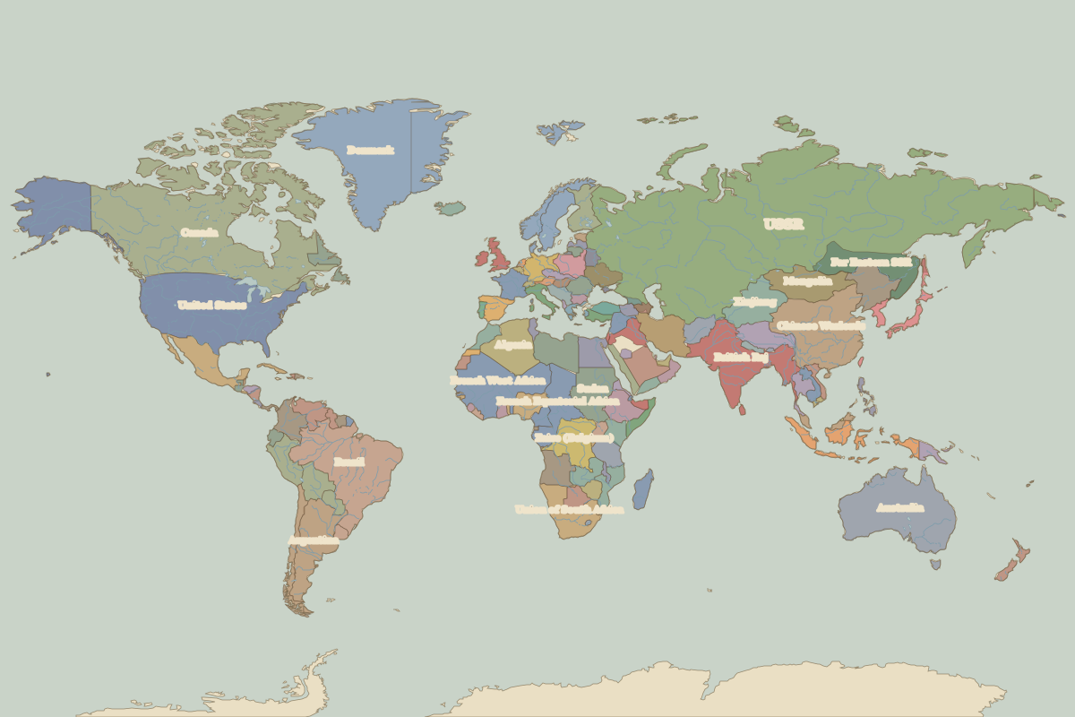 The world in 1920
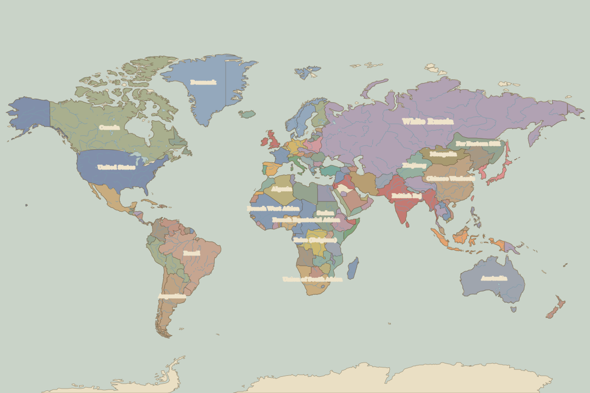 The world in 1930
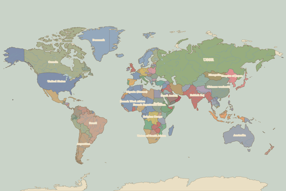 The world in 1938
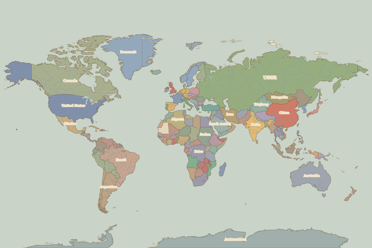 The world in 1945
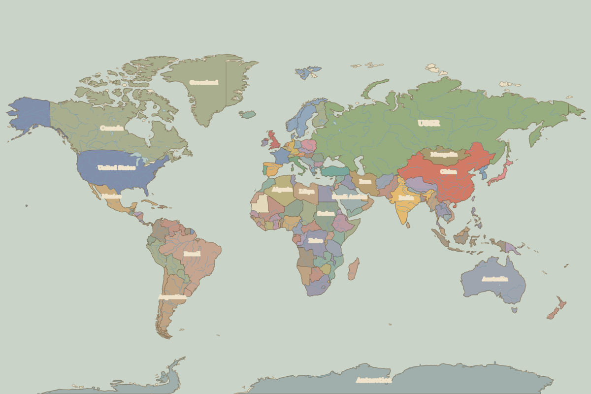 The world in 1960
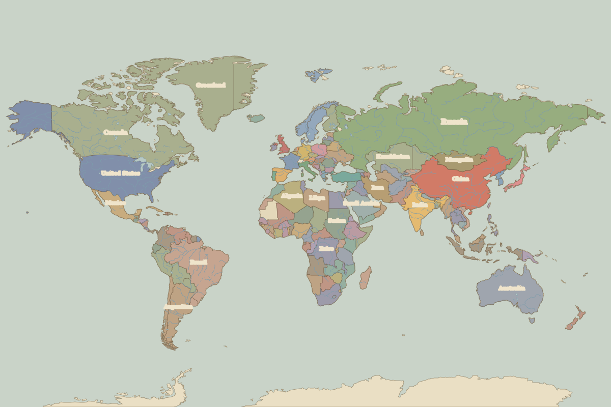 The world in 1994
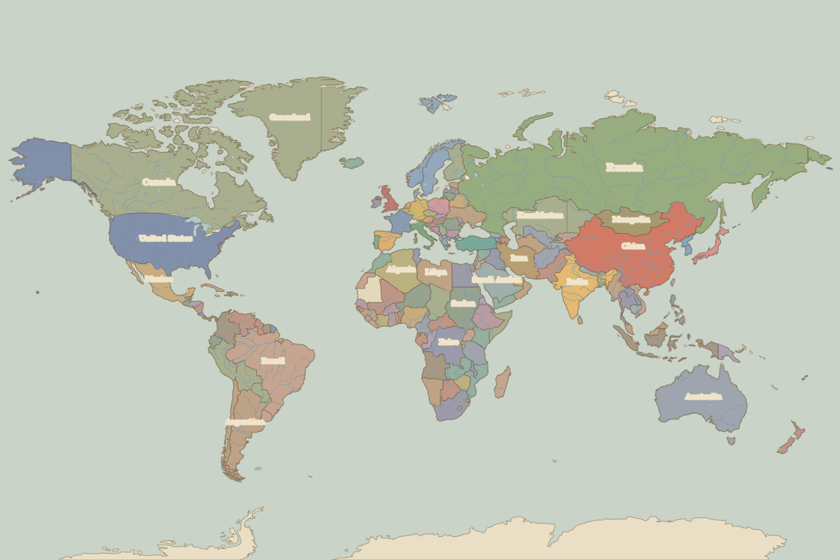 The world in 2010