World Map in AD 500
This world map shows state borders in AD 500. The largest states and empires were Sasanian Empire, Ruanruan, Jin Empire, Gupta Empire and Eastern Roman Empire. The map stays in use until the next recorded border change in AD 600.
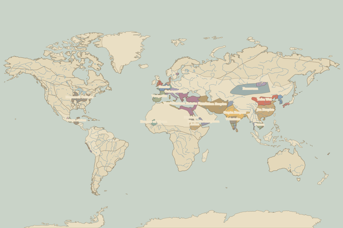
Open the world in AD 500 in the interactive map
Largest states and empires in AD 500
Areas are approximate, from the historical border data.
| State | Approx. area | Region |
|---|---|---|
| Sasanian Empire | 3.49 million km² | Asia |
| Ruanruan | 2.62 million km² | Asia |
| Jin Empire | 2.62 million km² | Asia |
| Gupta Empire | 2.45 million km² | Asia |
| Eastern Roman Empire | 1.93 million km² | Europe |
| Toba Wei | 1.40 million km² | Asia |
| Axum | 1.03 million km² | Africa |
| Hopewell Culture | 770,000 km² | – |
| Visigoths | 590,000 km² | Europe |
| Ostrogoths | 560,000 km² | Europe |
| Vakataka | 540,000 km² | Asia |
| Himyarite Kingdom | 400,000 km² | Africa |
| Funan | 360,000 km² | Asia |
| Vandals | 350,000 km² | Europe |
| Maya states | 340,000 km² | – |
| Makkura | 340,000 km² | Africa |
| Empire of Ghana | 340,000 km² | Africa |
| Franks | 320,000 km² | Europe |
| Kushan Principalities | 220,000 km² | Asia |
| Kurykans | 200,000 km² | Asia |
| Lavo | 190,000 km² | Asia |
| Koguryo | 150,000 km² | Asia |
| Burgundians | 120,000 km² | Europe |
| Yamato | 120,000 km² | Asia |
| Saxons | 110,000 km² | Europe |
| Veracruz civilization | 100,000 km² | – |
| Suebi | 100,000 km² | Europe |
| Moche | 100,000 km² | – |
| Champa | 90,000 km² | Asia |
| Kadambas | 80,000 km² | Asia |
Regional maps
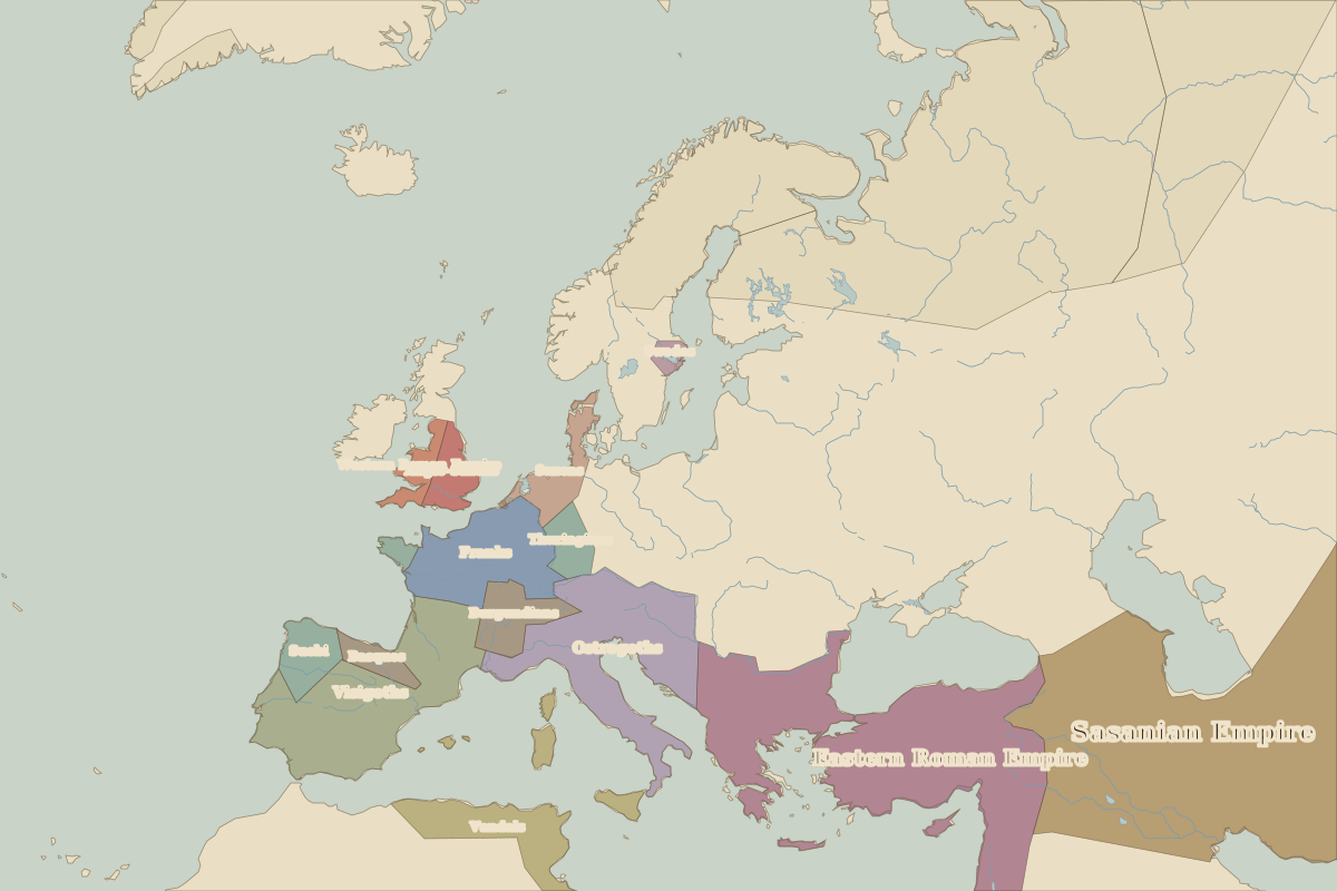
- Europe in AD 500 (map image) · open in the interactive map
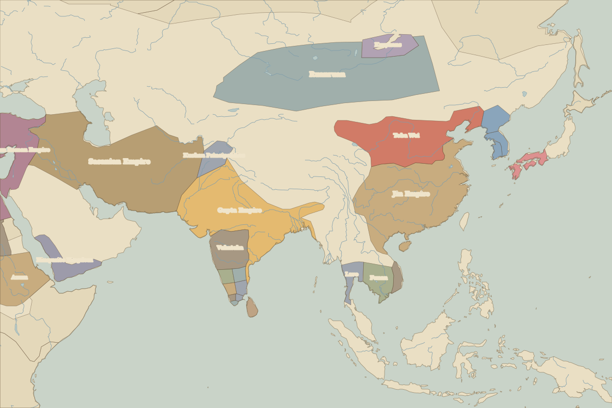
- Asia in AD 500 (map image) · open in the interactive map
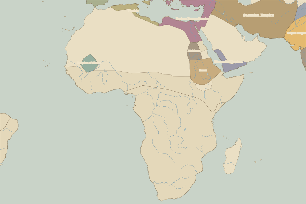
- Africa in AD 500 (map image) · open in the interactive map
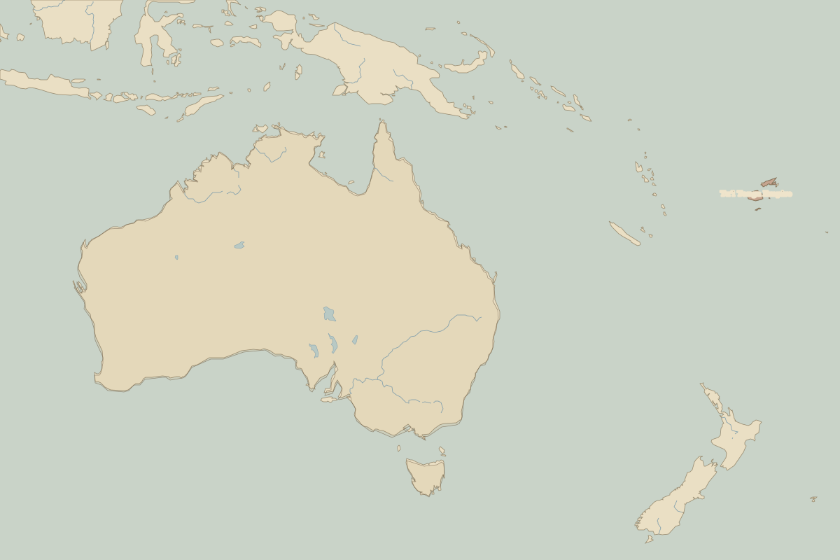
- Oceania in AD 500 (map image) · open in the interactive map
- Europe in AD 500: rulers and events
Key events, AD 500 to AD 599
| Year | Event | Where |
|---|---|---|
| AD 537 | Hagia Sophia completed | Istanbul |
| AD 568 | The Lombards invade Italy |