World Map in 400 BC
This world map shows state borders in 400 BC. The largest states and empires were Achaemenid Empire, Xiongnu, Hindu kingdoms, Zhou states and Zhangzhung Kingdom. The map stays in use until the next recorded border change in 323 BC.
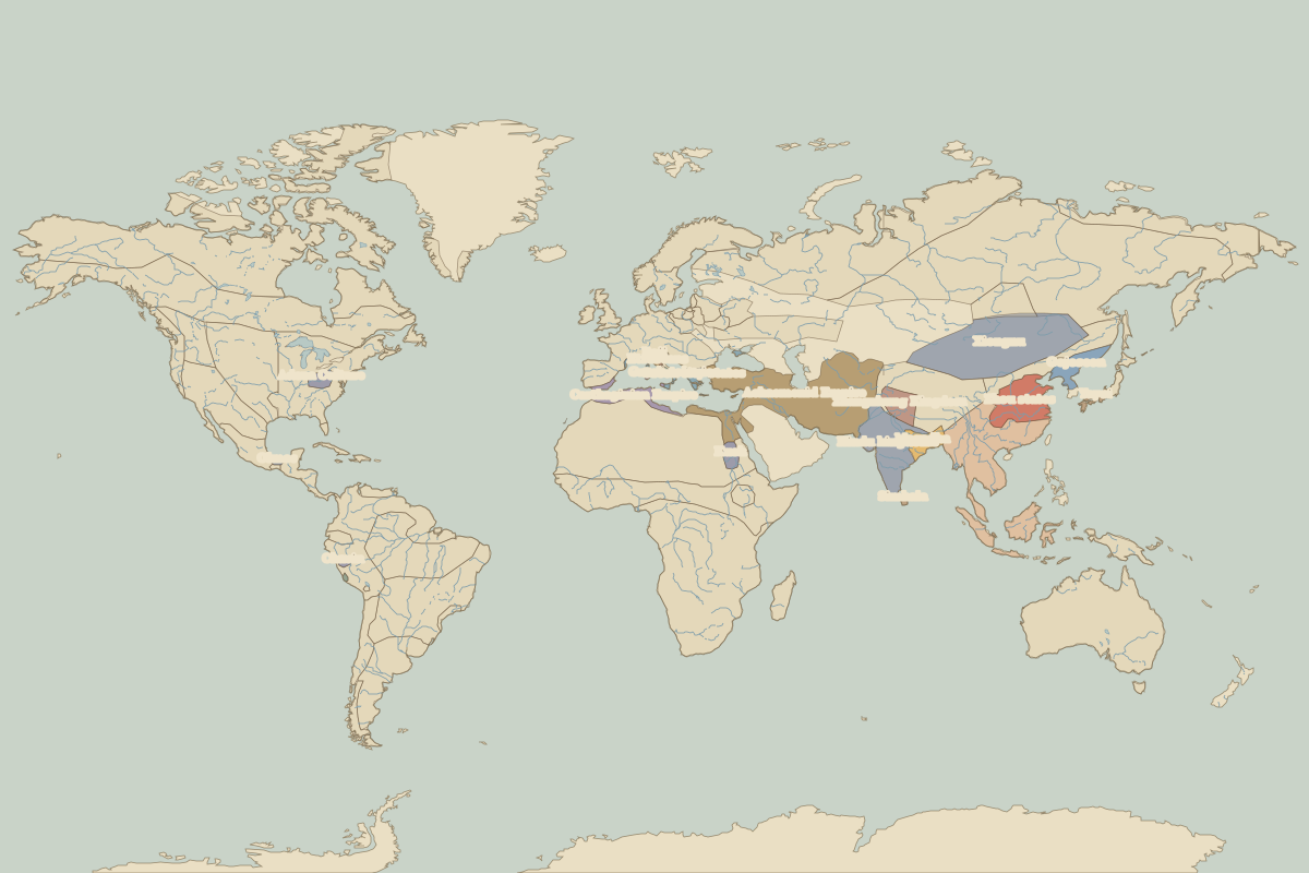
Open the world in 400 BC in the interactive map
Largest states and empires in 400 BC
Areas are approximate, from the historical border data.
| State | Approx. area | Region |
|---|---|---|
| Achaemenid Empire | 6.02 million km² | Europe |
| Xiongnu | 3.89 million km² | Asia |
| Hindu kingdoms | 2.41 million km² | Asia |
| Zhou states | 1.55 million km² | Asia |
| Zhangzhung Kingdom | 660,000 km² | Asia |
| Magadha | 650,000 km² | Asia |
| Carthaginian Empire | 630,000 km² | Europe |
| Gojoseon | 540,000 km² | Asia |
| Kush | 310,000 km² | Africa |
| Adena Culture | 230,000 km² | – |
| Greek city-states | 150,000 km² | Europe |
| Greek colonies | 120,000 km² | Europe |
| Yayoi | 110,000 km² | Asia |
| Chavin | 80,000 km² | – |
| Simhala | 60,000 km² | Asia |
| Olmec | 50,000 km² | – |
| Boii | 40,000 km² | Europe |
| Etruscans | 30,000 km² | Europe |
| Paracas | 30,000 km² | – |
| Sabines | 10,000 km² | Europe |
| Samnites | 10,000 km² | Europe |
| Roman Republic | 10,000 km² | Europe |
Regional maps
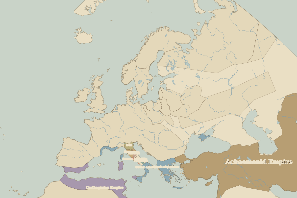
- Europe in 400 BC (map image) · open in the interactive map
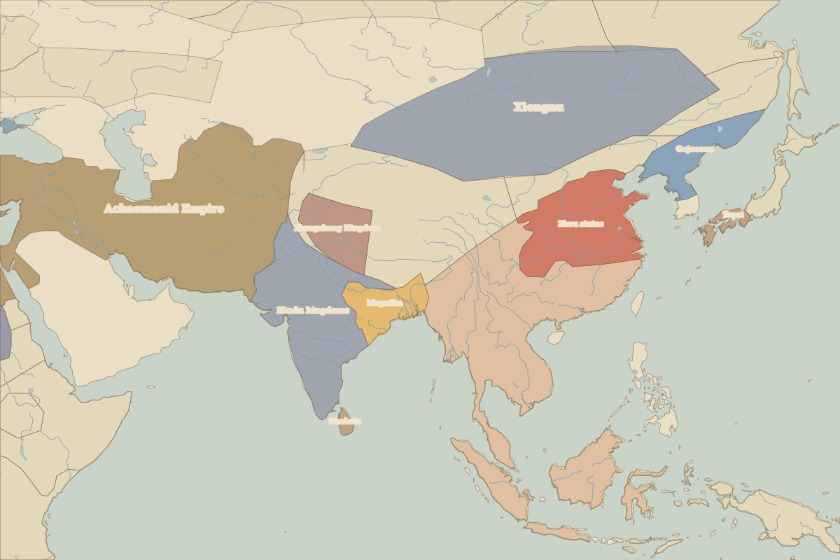
- Asia in 400 BC (map image) · open in the interactive map
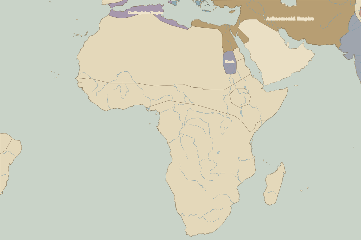
- Africa in 400 BC (map image) · open in the interactive map
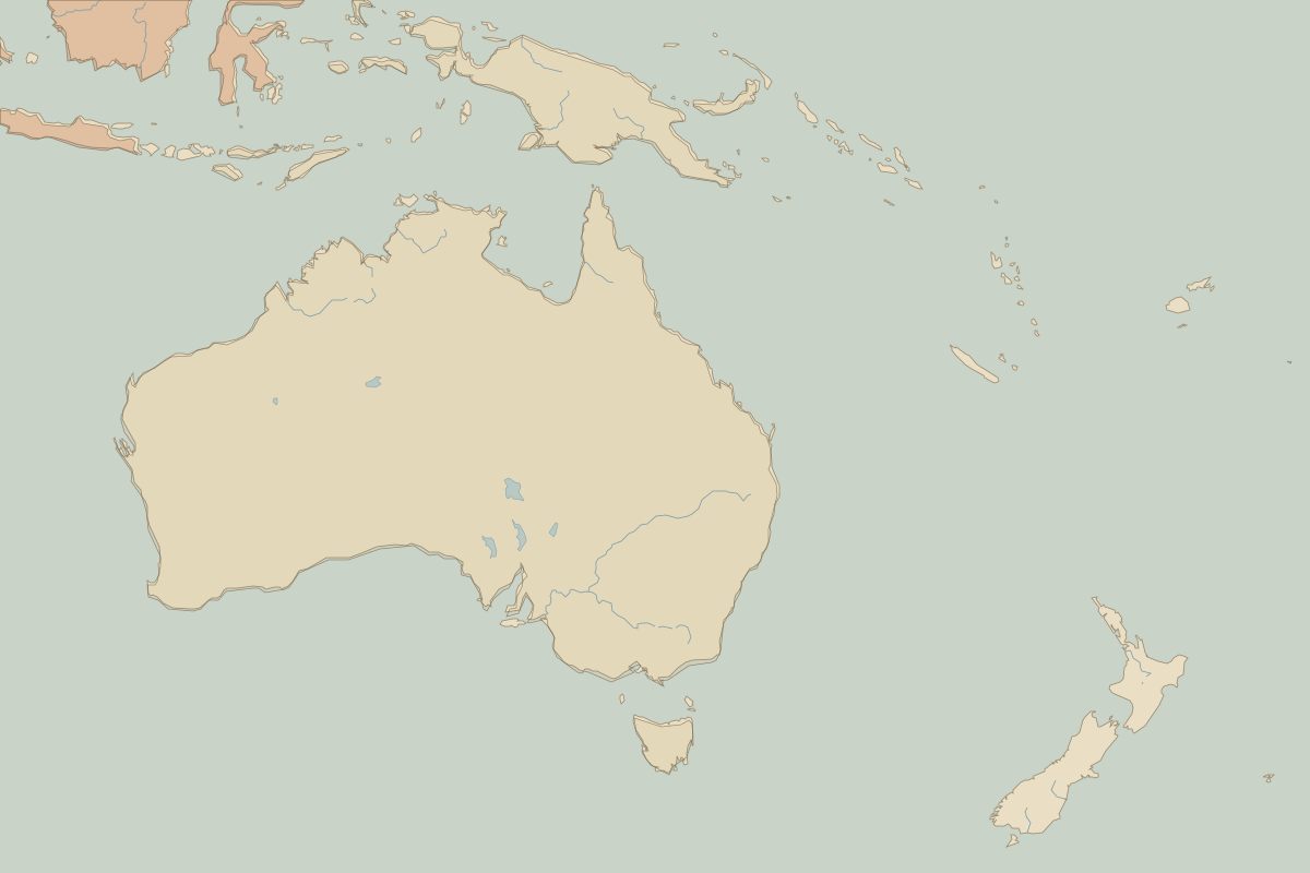
- Oceania in 400 BC (map image) · open in the interactive map
- Europe in 400 BC: rulers and events
Key events, 400 BC to 324 BC
| Year | Event | Where |
|---|---|---|
| 338 BC | Battle of Chaeronea: Macedon dominates Greece | |
| 334 BC | Alexander's eastern campaign begins | |
| 331 BC | Battle of Gaugamela | Battle of Gaugamela |
| 326 BC | Battle of the Hydaspes: Alexander reaches India | Battle of Hydaspes |
Battles and sites in this period
- Battle of Gaugamela · 331 BC
- Battle of Hydaspes · 326 BC