Greek city-states: Map & Borders Over Time
Greek city-states appears on 4 of the 39 border maps, from 500 BC to 300 BC. Its mapped territory was largest in 500 BC, at roughly 250,000 km² within the map area. Chronica Maps groups it with the Greece / Macedon lineage, shown in the same colour across periods.
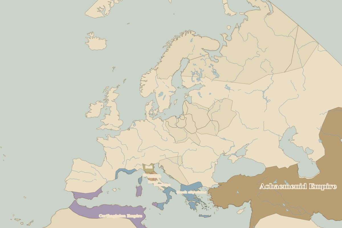
Open 500 BC in the interactive map
Territory of Greek city-states over time
Approximate area inside the map area on each border map.
| Map year | Approx. area | Change |
|---|---|---|
| 500 BC | 250,000 km² | – |
| 400 BC | 150,000 km² | -40% |
| 323 BC | 90,000 km² | -40% |
| 300 BC | 90,000 km² | +1% |