Achaemenid Empire: Map & Borders Over Time
Achaemenid Empire appears on 2 of the 39 border maps, from 500 BC to 400 BC. Its mapped territory was largest in 400 BC, at roughly 6.02 million km². Chronica Maps groups it with the Persia lineage, shown in the same colour across periods.
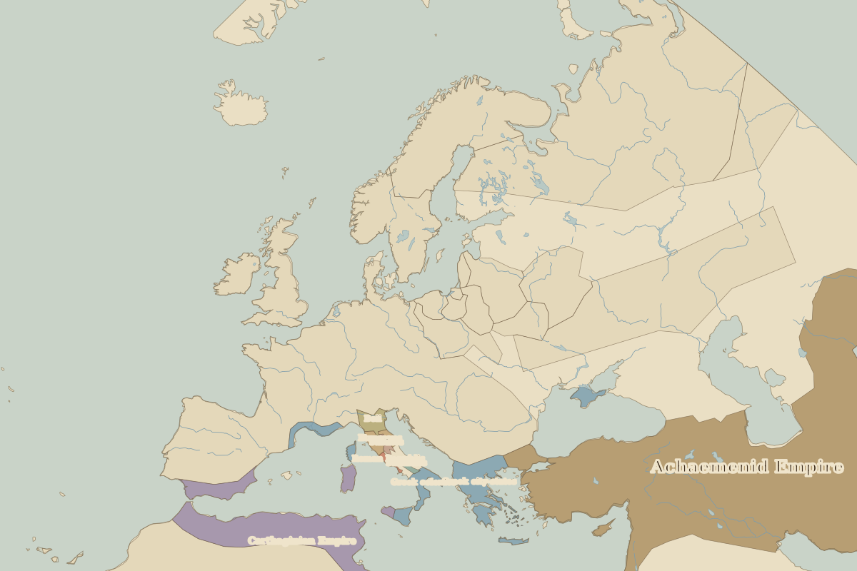
Open 400 BC in the interactive map
Territory of Achaemenid Empire over time
Approximate area on each border map.
Cities within Achaemenid Empire in 400 BC
- Istanbul
- Alexandria
- Jerusalem
- Antioch
- Ankara
- İzmir
- Bursa
- İznik
- Konya
- Edirne
- Trabzon
- Tbilisi
- Baku
- Kabul
- Baghdad
- Damascus
- Isfahan
- Samarkand
- Bukhara
- Cairo
Rulers (Persia)
| Reign | Ruler |
|---|---|
| 522 BC–486 BC | Darius I |
| 486 BC–465 BC | Xerxes I |
| 465 BC–424 BC | Artaxerxes I |
| 336 BC–330 BC | Darius III |