World Map in 300 BC
This world map shows state borders in 300 BC. The largest states and empires were Seleucid Kingdom, Mauryan Empire, Zhou states, Hindu kingdoms and republics and Kingdom of Antigonus. The map stays in use until the next recorded border change in 200 BC.
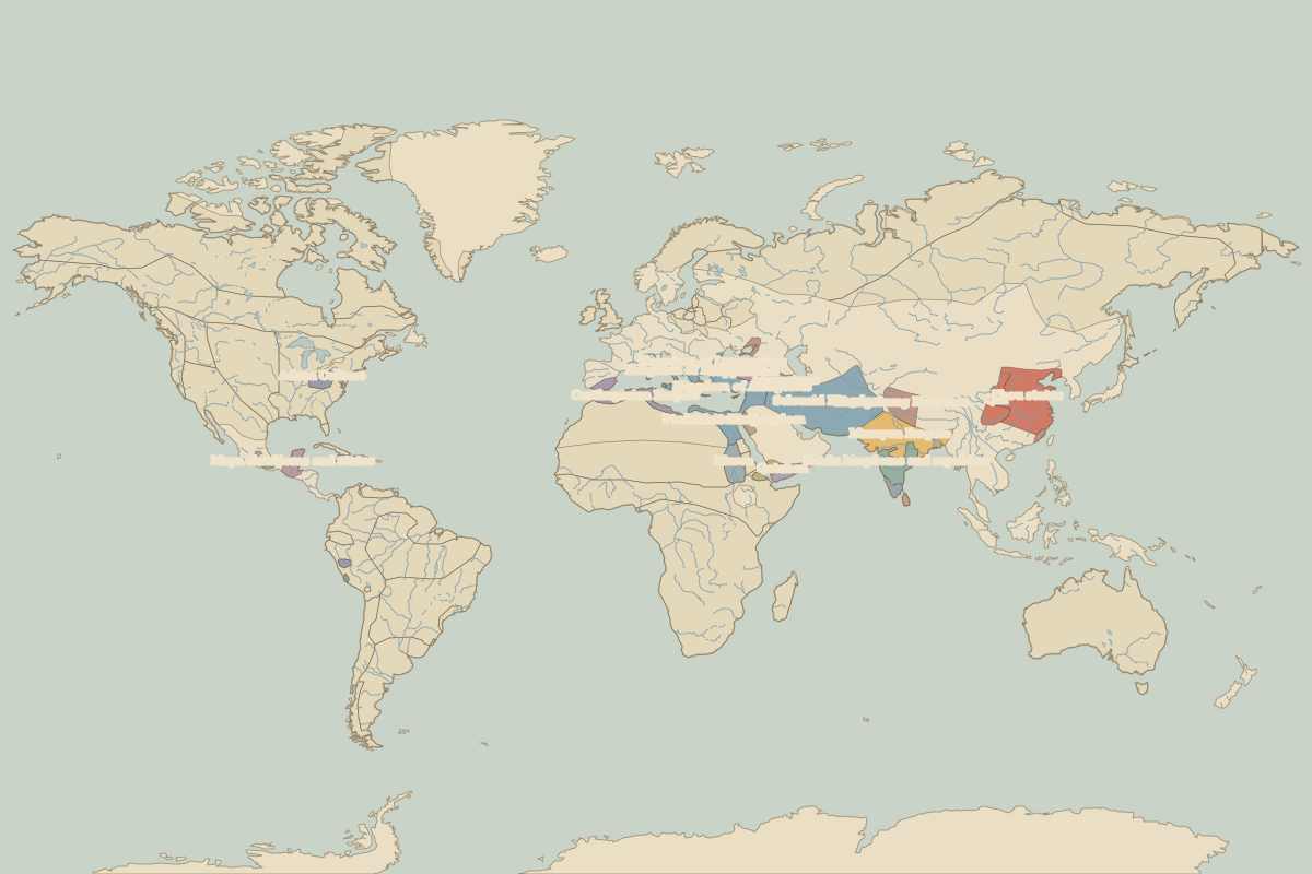
Open the world in 300 BC in the interactive map
Largest states and empires in 300 BC
Areas are approximate, from the historical border data.
| State | Approx. area | Region |
|---|---|---|
| Seleucid Kingdom | 3.46 million km² | Asia |
| Mauryan Empire | 1.96 million km² | Asia |
| Zhou states | 1.88 million km² | Asia |
| Hindu kingdoms and republics | 860,000 km² | Asia |
| Kingdom of Antigonus | 730,000 km² | Europe |
| Carthaginian Empire | 680,000 km² | Europe |
| Zhangzhung Kingdom | 660,000 km² | Asia |
| Qin | 590,000 km² | Asia |
| Meroe | 580,000 km² | Africa |
| Ptolemaic Kingdom | 550,000 km² | Africa |
| Maya chiefdoms and states | 360,000 km² | – |
| Qataban | 250,000 km² | Africa |
| Adena Culture | 230,000 km² | – |
| Cappadocia | 190,000 km² | Europe |
| Atropatene | 190,000 km² | Europe |
| Nabatean Kingdom | 180,000 km² | Africa |
| Hindu kingdoms | 160,000 km² | Asia |
| Hadramaut | 130,000 km² | Africa |
| Kingdom of Kassander | 120,000 km² | Europe |
| Kingdom of Lysimachus | 120,000 km² | Europe |
| Saba | 100,000 km² | Africa |
| Armenia | 100,000 km² | Europe |
| Greek city-states | 90,000 km² | Europe |
| Damot | 90,000 km² | Africa |
| Chavin | 80,000 km² | – |
| Bosporan Kingdom | 80,000 km² | Europe |
| Monte Albán | 60,000 km² | – |
| Simhala | 60,000 km² | Asia |
| Yue | 50,000 km² | Asia |
| Colchis | 40,000 km² | Europe |
Regional maps
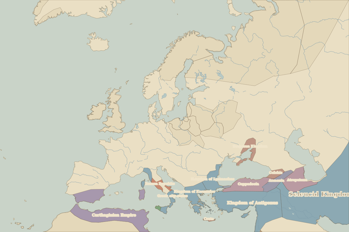
- Europe in 300 BC (map image) · open in the interactive map
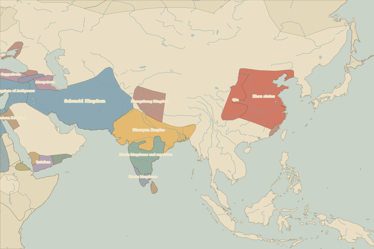
- Asia in 300 BC (map image) · open in the interactive map
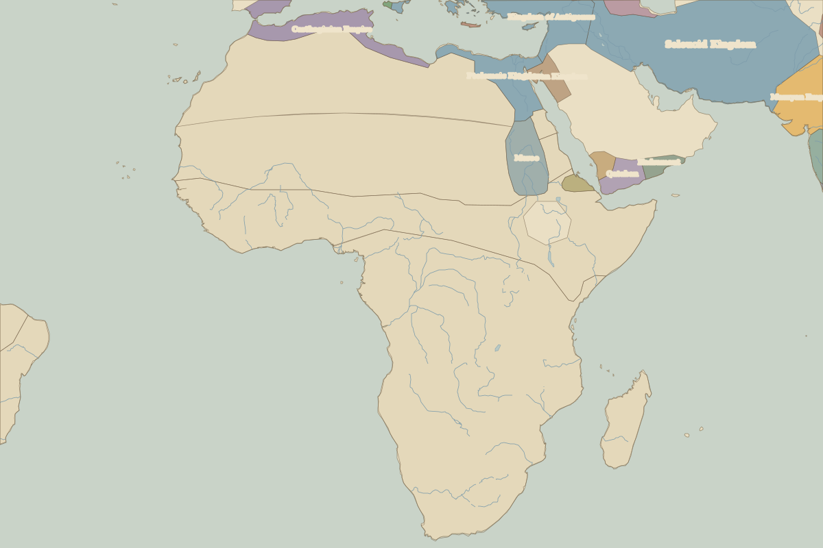
- Africa in 300 BC (map image) · open in the interactive map
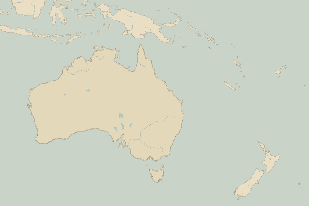
- Oceania in 300 BC (map image) · open in the interactive map
- Europe in 300 BC: rulers and events
Key events, 300 BC to 201 BC
| Year | Event | Where |
|---|---|---|
| 264 BC | The First Punic War begins | Carthage |
| 261 BC | Ashoka conquers Kalinga | Battle of Kalinga War |
| 260 BC | Battle of Changping | Battle of Changping |
| 221 BC | Qin unifies China | Xi'an |
| 216 BC | Battle of Cannae | Battle of Cannae |
| 202 BC | Battle of Zama | Battle of Zama |
Battles and sites in this period
- Battle of Kalinga War · 261 BC
- Battle of Changping · 260 BC
- Battle of Cannae · 216 BC
- Battle of Zama · 202 BC