World Map in AD 800
This world map shows state borders in AD 800. The largest states and empires were Abbasid Caliphate, Tibetan Empire, Uyghurs, Tang Empire and Tupis. The map stays in use until the next recorded border change in AD 900.
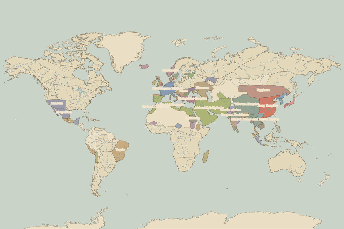
Open the world in AD 800 in the interactive map
Largest states and empires in AD 800
Areas are approximate, from the historical border data.
| State | Approx. area | Region |
|---|---|---|
| Abbasid Caliphate | 8.40 million km² | Europe |
| Tibetan Empire | 4.48 million km² | Asia |
| Uyghurs | 3.83 million km² | Asia |
| Tang Empire | 3.22 million km² | Asia |
| Tupis | 2.96 million km² | – |
| Anasazi | 1.61 million km² | – |
| Khazars | 1.56 million km² | Europe |
| Carolingian Empire | 1.19 million km² | Europe |
| Mogollon | 1.10 million km² | – |
| Hindu states | 870,000 km² | Asia |
| Rajput Clans and Small States | 860,000 km² | Asia |
| Byzantine Empire | 830,000 km² | Europe |
| Makkura | 680,000 km² | Africa |
| Gurjara Pratihara | 680,000 km² | Asia |
| Aghlabid Emirate | 620,000 km² | Europe |
| Avars | 610,000 km² | Europe |
| Malagasy | 580,000 km² | Africa |
| Idrisid Caliphate | 580,000 km² | Europe |
| Srivijaya Empire | 530,000 km² | Asia |
| Rashtrakuta state | 500,000 km² | Asia |
| Emirate of Córdoba | 490,000 km² | Europe |
| Huari Empire | 460,000 km² | – |
| Palas | 440,000 km² | Asia |
| Nan Chao | 400,000 km² | Asia |
| Maya city-states | 380,000 km² | – |
| Tiahuanaco Empire | 360,000 km² | – |
| Mesoamerican city-states and chiefdoms | 350,000 km² | – |
| Alwa | 350,000 km² | Africa |
| Northmen | 320,000 km² | Europe |
| Kanem | 310,000 km² | Africa |
Regional maps
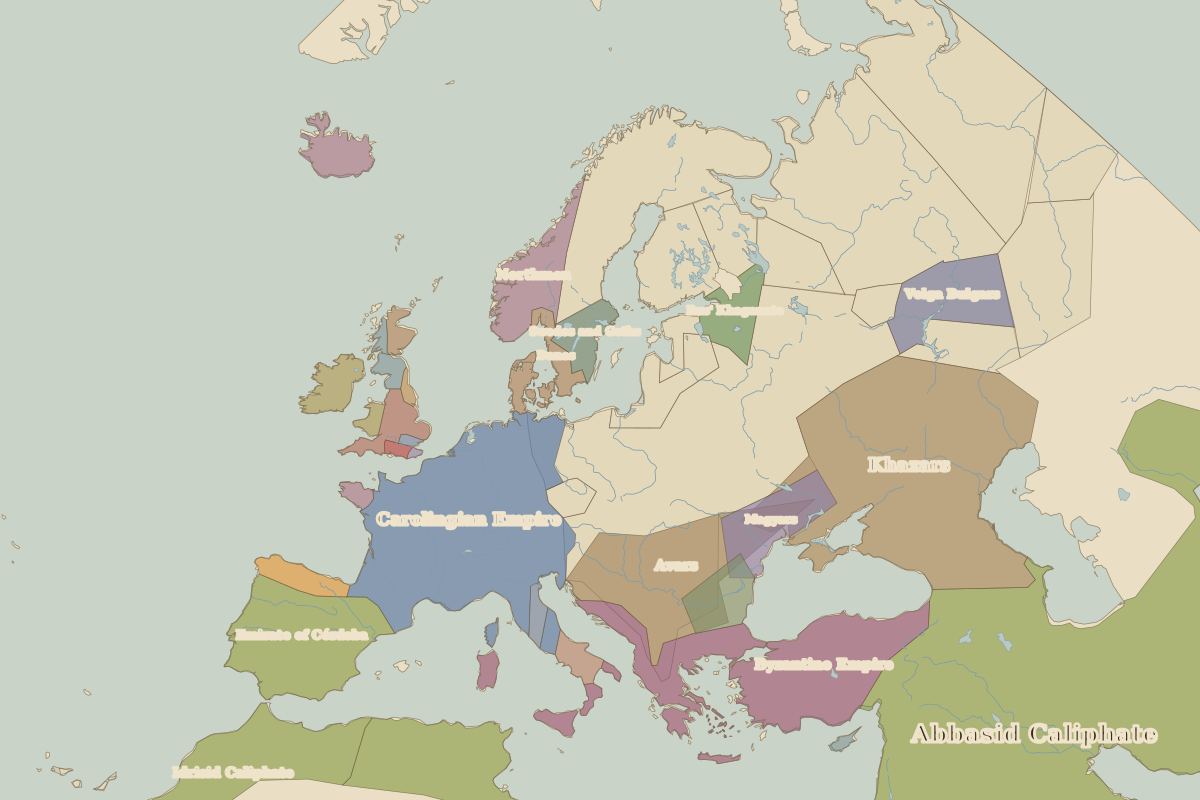
- Europe in AD 800 (map image) · open in the interactive map
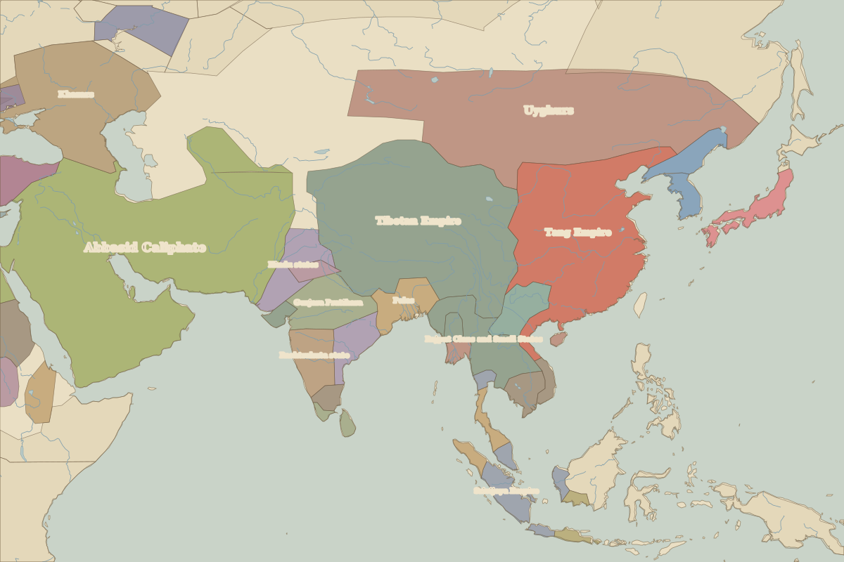
- Asia in AD 800 (map image) · open in the interactive map
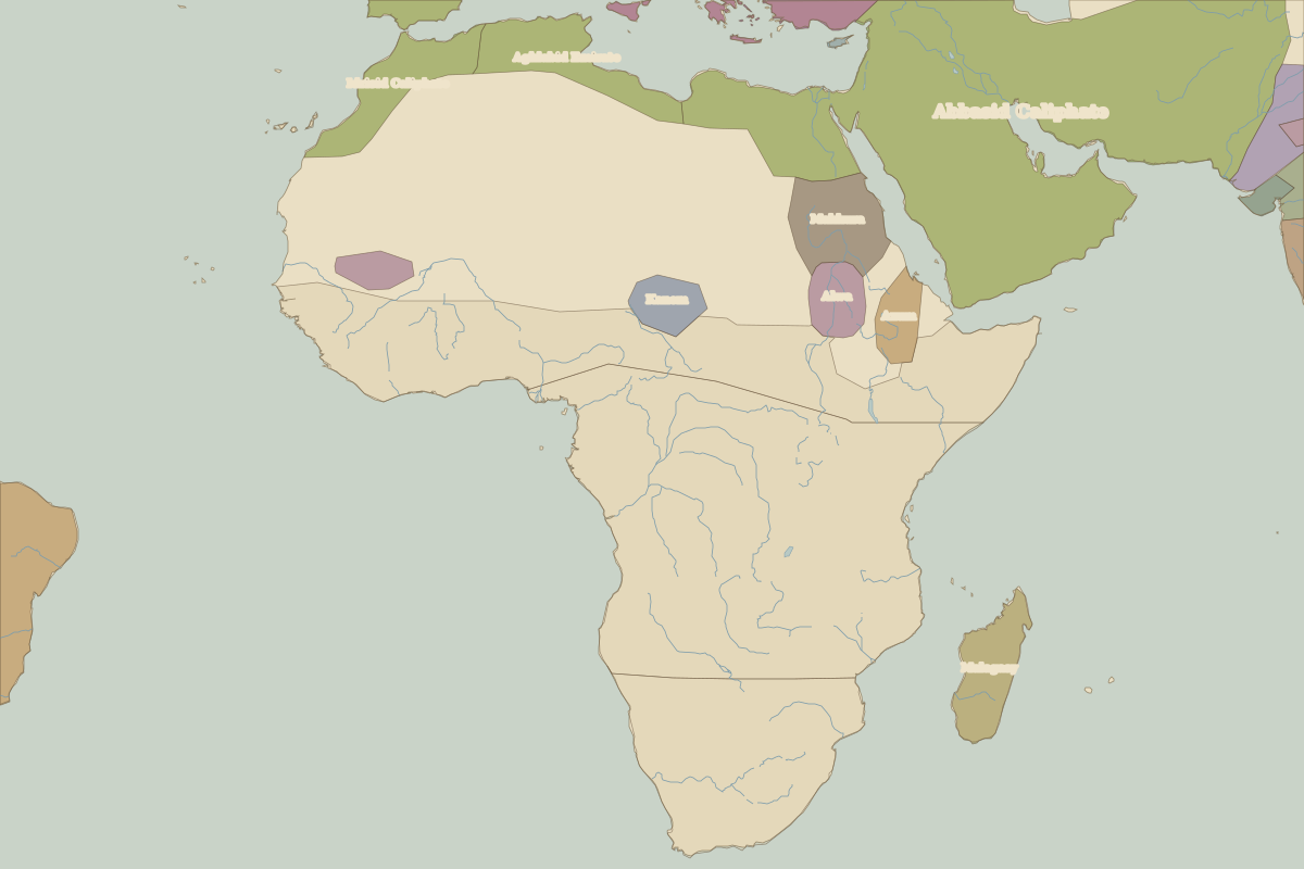
- Africa in AD 800 (map image) · open in the interactive map
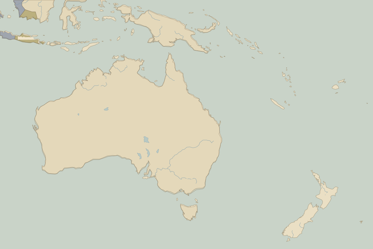
- Oceania in AD 800 (map image) · open in the interactive map
- Europe in AD 800: rulers and events
Key events, AD 800 to AD 899
| Year | Event | Where |
|---|---|---|
| AD 800 | Charlemagne crowned emperor | Rome |
| AD 802 | The Khmer Empire is founded | Angkor |
| AD 843 | Treaty of Verdun divides the Carolingian Empire | Battle of Verdun |
| AD 862 | Rurik comes to Novgorod | Novgorod |
| AD 874 | Settlement of Iceland begins | Reykjavík |