World Map in AD 700
This world map shows state borders in AD 700. The largest states and empires were Saharan Nomadic Tribes, Sui Empire, Göktürks, Sasanian Empire and Tufan Empire. The map stays in use until the next recorded border change in AD 800.
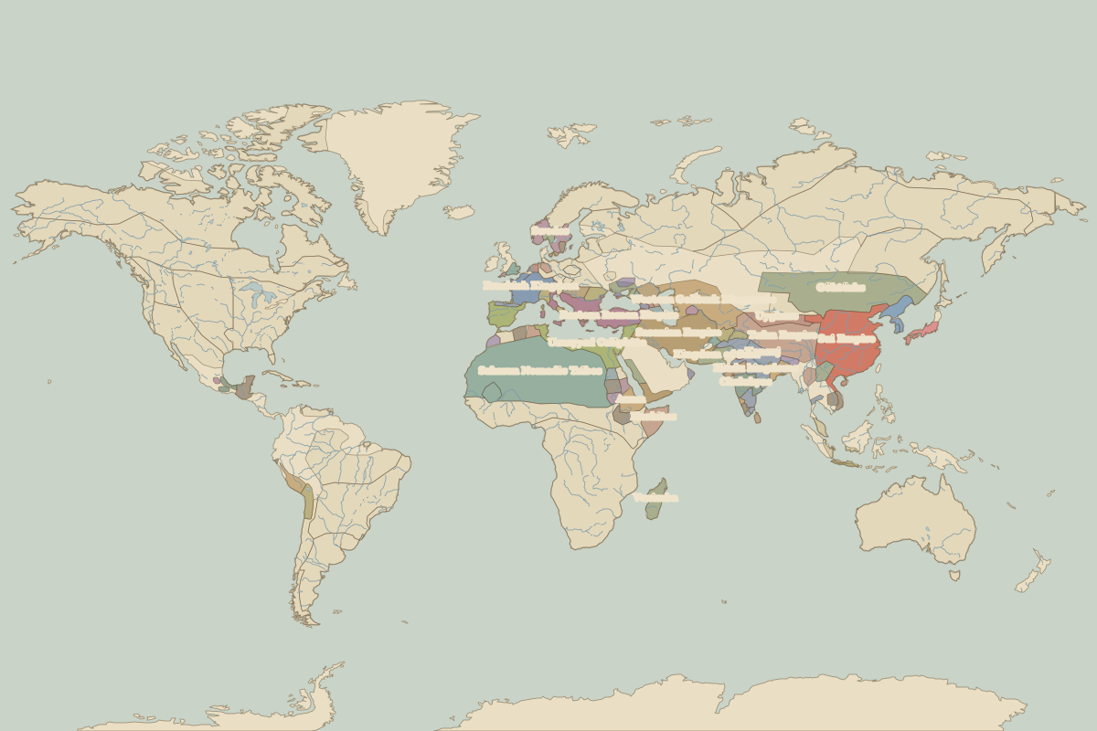
Open the world in AD 700 in the interactive map
Largest states and empires in AD 700
Areas are approximate, from the historical border data.
| State | Approx. area | Region |
|---|---|---|
| Saharan Nomadic Tribes | 9.09 million km² | Africa |
| Sui Empire | 3.90 million km² | Asia |
| Göktürks | 3.80 million km² | Asia |
| Sasanian Empire | 2.77 million km² | Europe |
| Tufan Empire | 2.38 million km² | Asia |
| Western Gokturk Khaganate | 1.69 million km² | Asia |
| Umayyad Caliphate | 1.69 million km² | Europe |
| Eastern Roman Empire | 1.36 million km² | Europe |
| Hindu kingdoms | 910,000 km² | Asia |
| Kushites | 700,000 km² | Africa |
| Frankish Kingdom | 610,000 km² | Europe |
| Chalukyas | 580,000 km² | Asia |
| Vazimba | 580,000 km² | Africa |
| Uyghurs | 570,000 km² | Asia |
| Axum | 540,000 km² | Africa |
| Kanauj | 510,000 km² | Asia |
| Kingdom of Sind | 480,000 km² | Asia |
| Huari Empire | 360,000 km² | – |
| Tiahuanaco Empire | 360,000 km² | – |
| Maya states | 340,000 km² | – |
| Palas | 340,000 km² | Asia |
| Sasanian dependencies | 340,000 km² | Africa |
| Empire of Ghana | 340,000 km² | Africa |
| Maitraka Kingdom | 320,000 km² | Asia |
| Thai Kingdoms | 300,000 km² | Asia |
| Ethiopian Highland Peoples | 300,000 km² | Africa |
| Swedes | 290,000 km² | Europe |
| Koguryo | 290,000 km² | Asia |
| Makkura | 250,000 km² | Africa |
| Avars | 240,000 km² | Europe |
Regional maps
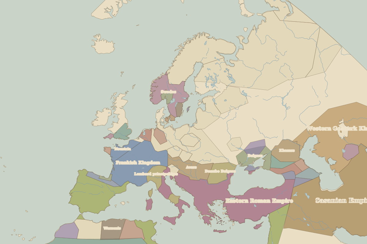
- Europe in AD 700 (map image) · open in the interactive map
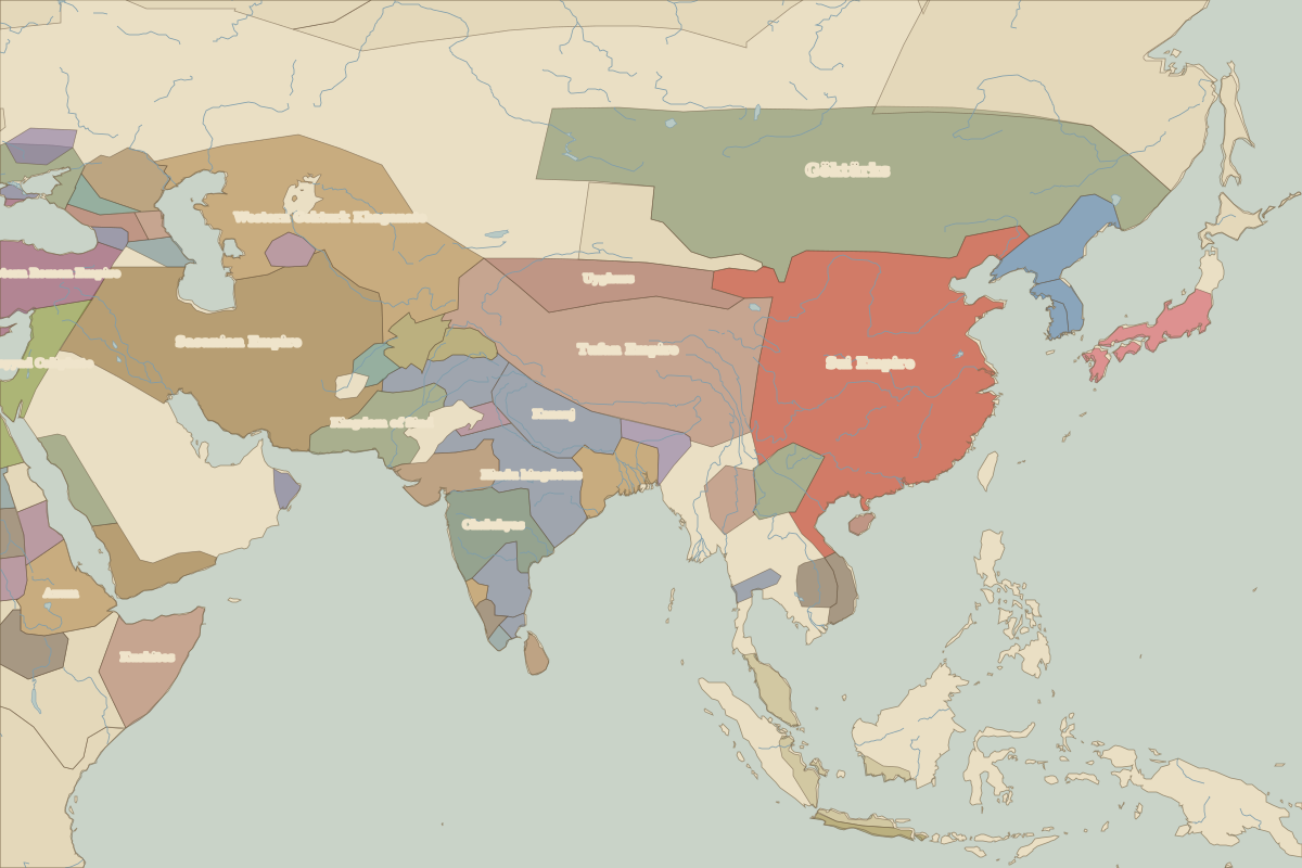
- Asia in AD 700 (map image) · open in the interactive map
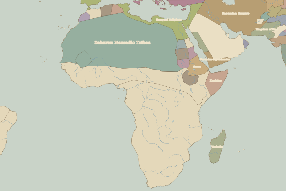
- Africa in AD 700 (map image) · open in the interactive map
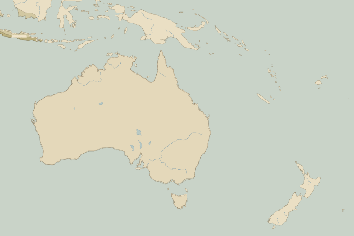
- Oceania in AD 700 (map image) · open in the interactive map
- Europe in AD 700: rulers and events
Key events, AD 700 to AD 799
| Year | Event | Where |
|---|---|---|
| AD 711 | Umayyad forces cross the Strait of Gibraltar | |
| AD 732 | Battle of Tours–Poitiers | Battle of Tours–Poitiers |
| AD 751 | Battle of Talas | Battle of Talas |
| AD 762 | The Abbasids found Baghdad | Baghdad |
| AD 793 | Vikings raid Lindisfarne | Lindisfarne |
Battles and sites in this period
- Battle of Tours–Poitiers · AD 732
- Battle of Talas · AD 751
- Lindisfarne · AD 793