World Map in 1100
This world map shows state borders in 1100. The largest states and empires were Cuman-Kipchak confederation, Mongols, Song Empire, Almoravid dynasty and Tibet. The map stays in use until the next recorded border change in 1200.
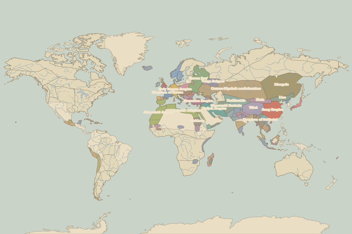
Open the world in 1100 in the interactive map
Largest states and empires in 1100
Areas are approximate, from the historical border data.
| State | Approx. area | Region |
|---|---|---|
| Cuman-Kipchak confederation | 6.20 million km² | Asia |
| Mongols | 4.67 million km² | Asia |
| Song Empire | 3.00 million km² | Asia |
| Almoravid dynasty | 2.35 million km² | Africa |
| Tibet | 2.30 million km² | Asia |
| Seljuk Empire | 2.04 million km² | Europe |
| Fatimid Caliphate | 1.82 million km² | Europe |
| Karkhanids | 1.77 million km² | Asia |
| Kievan Rus' | 1.63 million km² | Europe |
| Ghaznavid Emirate | 1.16 million km² | Asia |
| Byzantine Empire | 830,000 km² | Europe |
| Liao | 790,000 km² | Asia |
| Kingdom of Sukhotai | 760,000 km² | Asia |
| Xixia | 740,000 km² | Asia |
| Makkura | 660,000 km² | Africa |
| Western Chalukyas | 650,000 km² | Asia |
| Holy Roman Empire | 620,000 km² | Europe |
| minor Hindu and Buddhist states | 550,000 km² | Asia |
| Srivijaya Empire | 520,000 km² | Asia |
| Khmer Empire | 510,000 km² | Asia |
| Tiahuanaco Empire | 500,000 km² | – |
| Kingdom of France | 490,000 km² | Europe |
| Hindu kingdoms | 450,000 km² | Asia |
| Madagascar | 430,000 km² | Africa |
| Huari Empire | 420,000 km² | – |
| Volga Bulgars | 420,000 km² | Europe |
| Nan Chao | 410,000 km² | Asia |
| Palas | 380,000 km² | Asia |
| Mesoamerican city-states and chiefdoms | 380,000 km² | – |
| Soomra Emirate | 370,000 km² | Asia |
Regional maps
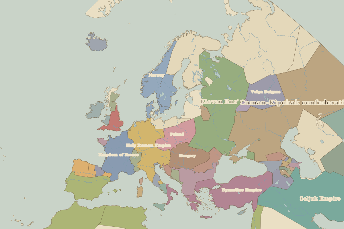
- Europe in 1100 (map image) · open in the interactive map
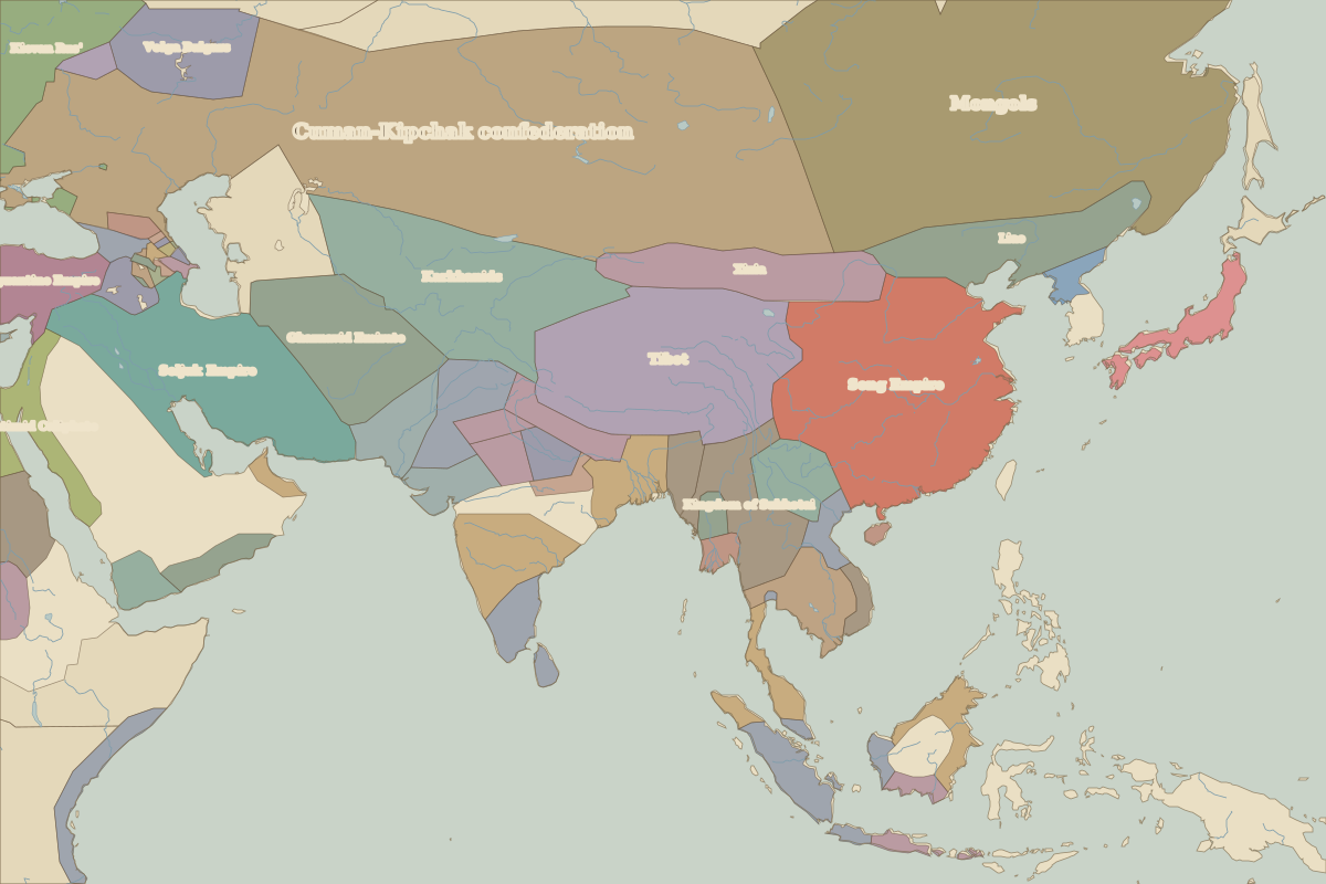
- Asia in 1100 (map image) · open in the interactive map
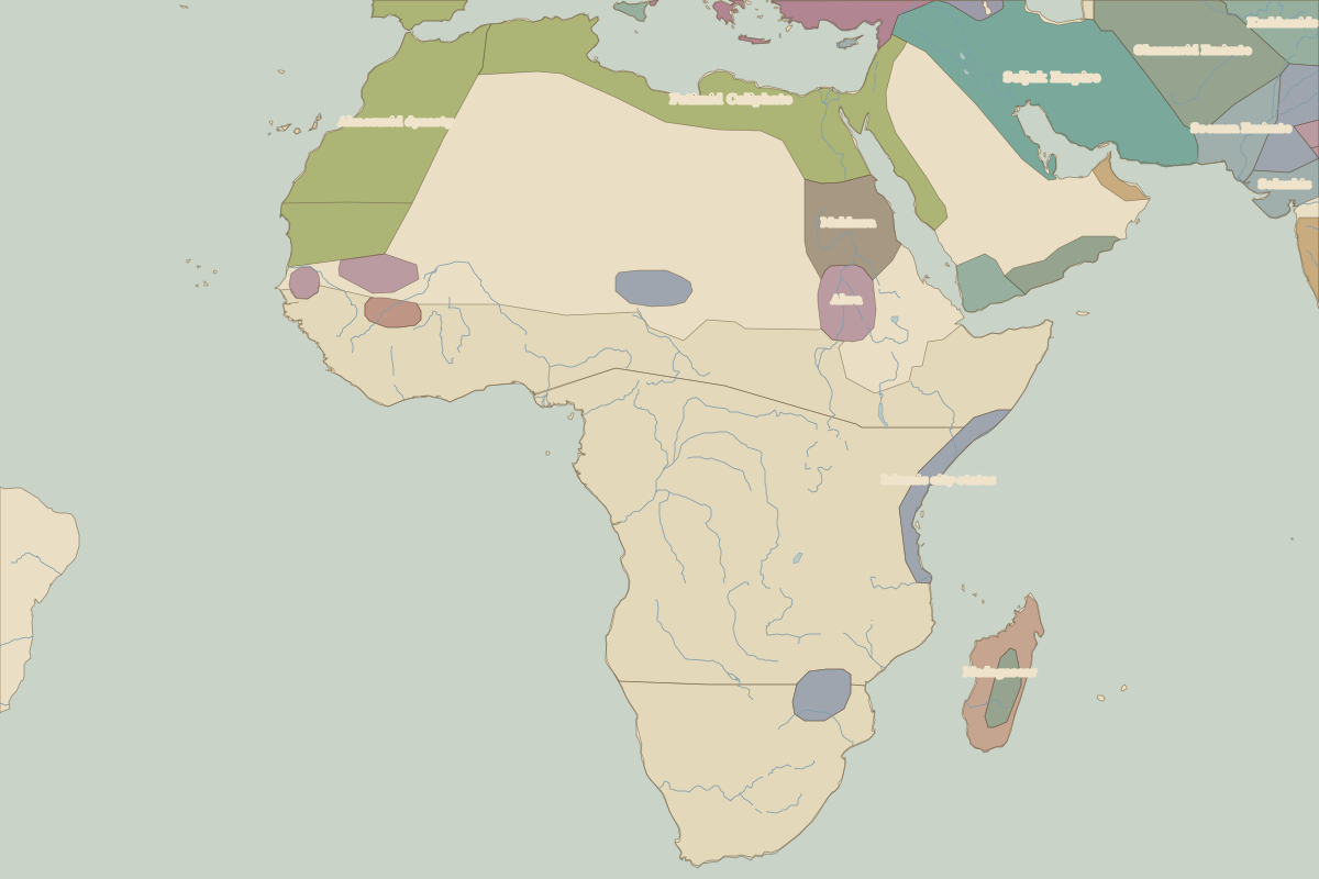
- Africa in 1100 (map image) · open in the interactive map
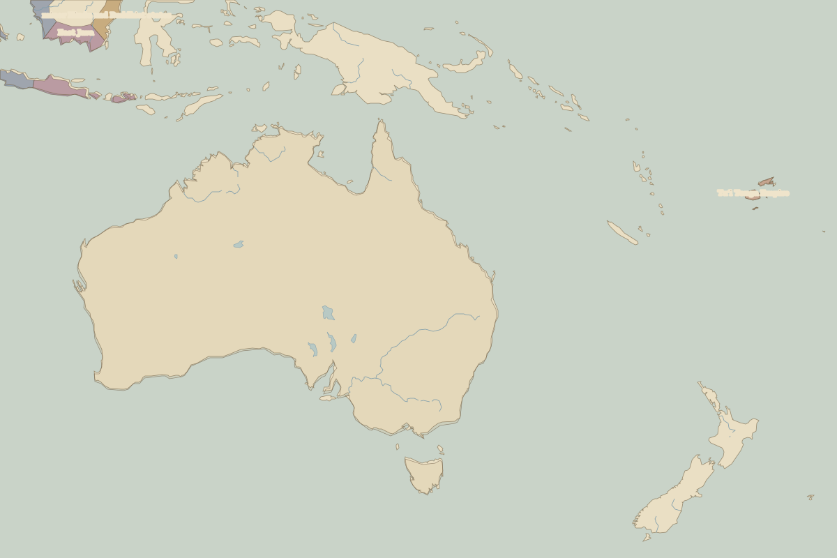
- Oceania in 1100 (map image) · open in the interactive map
- Europe in 1100: rulers and events
Key events, 1100 to 1199
| Year | Event | Where |
|---|---|---|
| 1187 | Saladin retakes Jerusalem | Jerusalem |
| 1187 | Battle of Hattin; Saladin retakes Jerusalem | Battle of Hattin |
Battles and sites in this period
- Battle of Hattin · 1187