World Map in 1960
This world map shows state borders in 1960. The largest states and empires were USSR, United States, Canada, Brazil and China. The map stays in use until the next recorded border change in 1994.
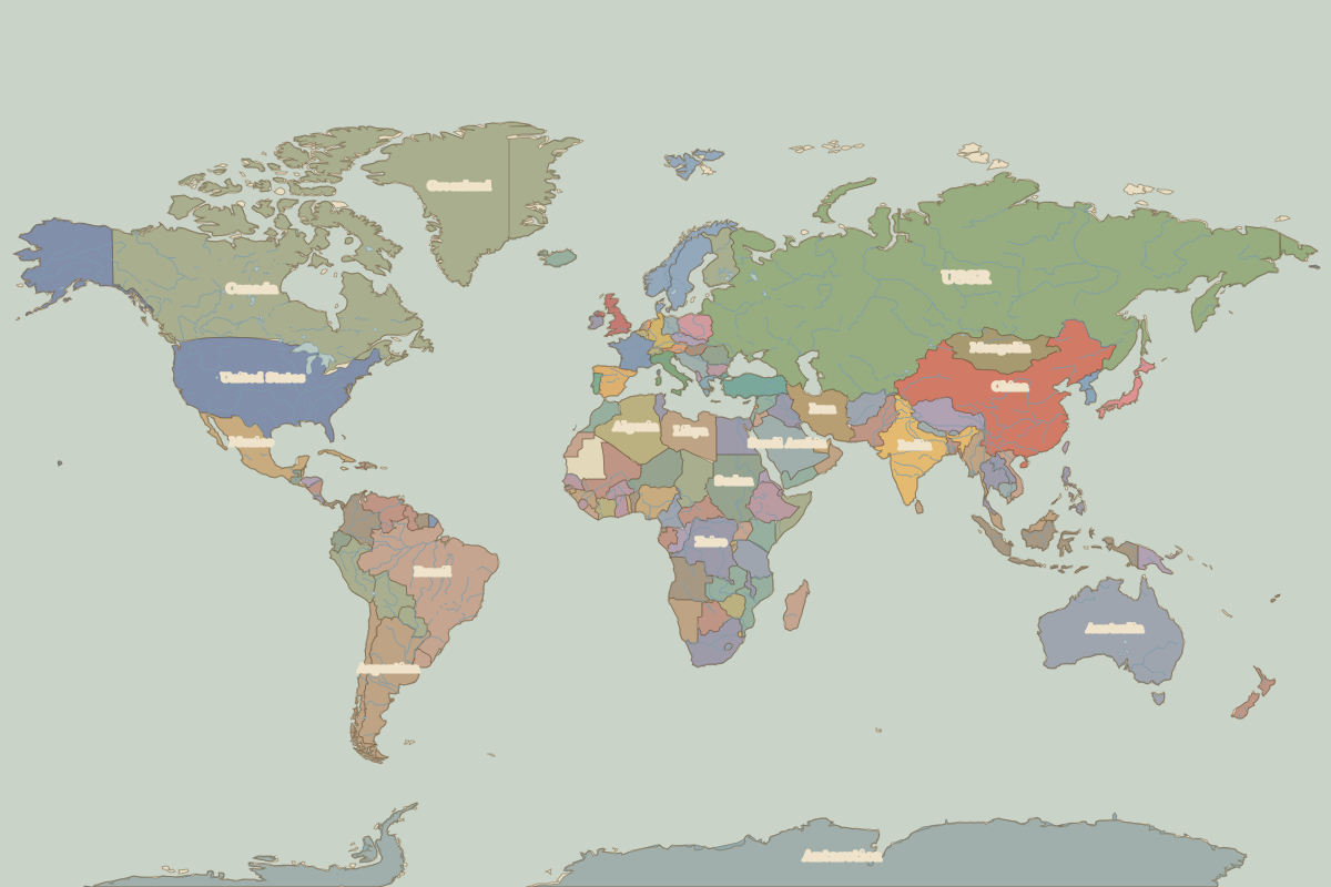
Open the world in 1960 in the interactive map
Largest states and empires in 1960
Areas are approximate, from the historical border data.
| State | Approx. area | Region |
|---|---|---|
| USSR | 21.75 million km² | – |
| United States | 9.38 million km² | – |
| Canada | 9.37 million km² | – |
| Brazil | 8.42 million km² | – |
| China | 8.20 million km² | Asia |
| Australia | 7.66 million km² | Oceania |
| India | 3.20 million km² | Asia |
| Argentina | 2.77 million km² | – |
| Sudan | 2.51 million km² | Africa |
| Zaire | 2.35 million km² | Africa |
| Algeria | 2.31 million km² | Africa |
| Greenland | 2.09 million km² | – |
| Saudi Arabia | 1.92 million km² | Africa |
| Mexico | 1.91 million km² | – |
| Indonesia | 1.70 million km² | Asia |
| Libya | 1.62 million km² | Africa |
| Iran | 1.61 million km² | Europe |
| Mongolia | 1.57 million km² | Asia |
| Peru | 1.30 million km² | – |
| Chad | 1.27 million km² | Africa |
| Mali | 1.25 million km² | Africa |
| Angola | 1.24 million km² | Africa |
| South Africa | 1.23 million km² | Africa |
| Niger | 1.18 million km² | Africa |
| Colombia | 1.15 million km² | – |
| Tibet | 1.14 million km² | Asia |
| Ethiopia | 1.14 million km² | Africa |
| Bolivia | 1.09 million km² | – |
| Egypt | 990,000 km² | Africa |
| Pakistan | 960,000 km² | Asia |
Regional maps
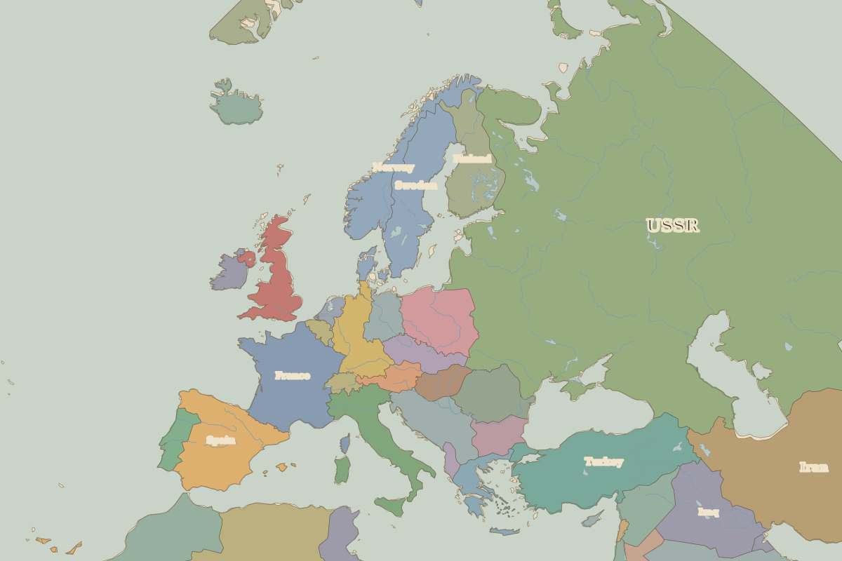
- Europe in 1960 (map image) · open in the interactive map
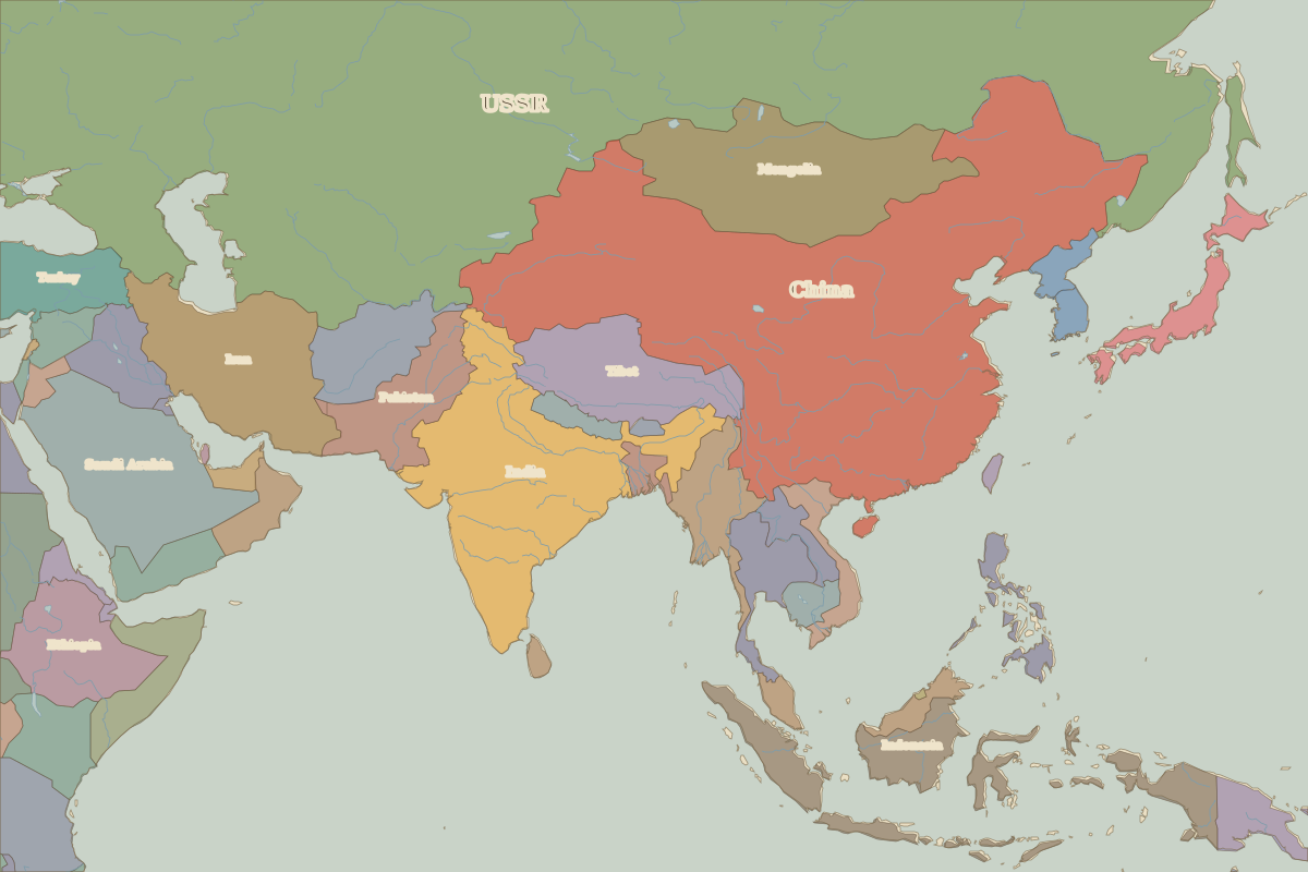
- Asia in 1960 (map image) · open in the interactive map
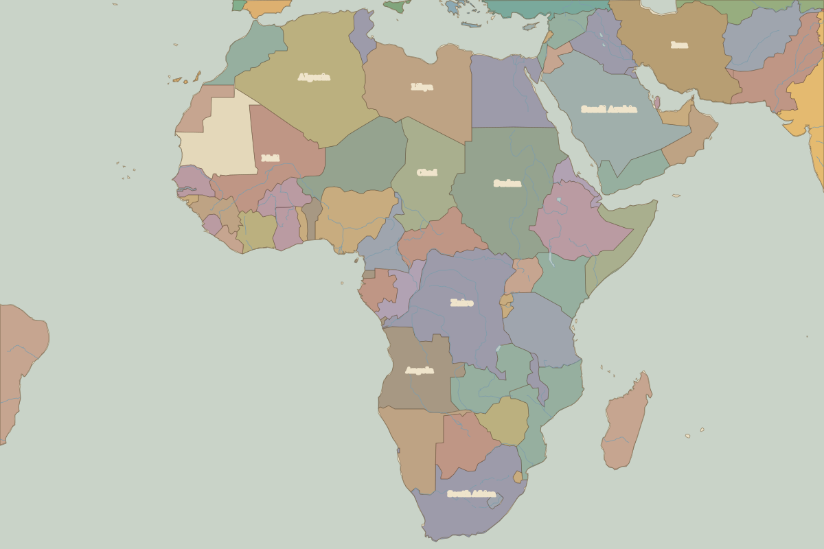
- Africa in 1960 (map image) · open in the interactive map
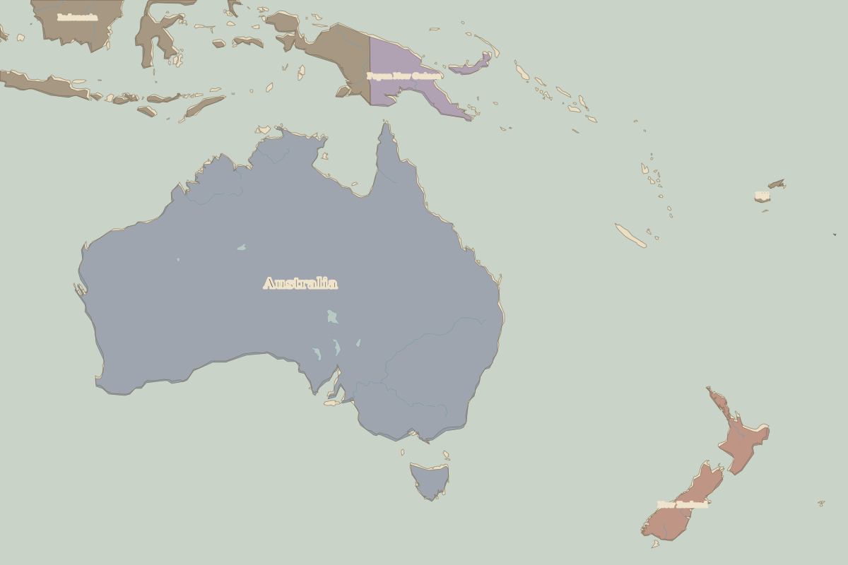
- Oceania in 1960 (map image) · open in the interactive map
- Europe in 1960: rulers and events
Key events, 1960 to 1993
| Year | Event | Where |
|---|---|---|
| 1960 | The Year of Africa: seventeen African states become independent | Lagos |
| 1961 | Berlin Wall built | Berlin |
| 1968 | Prague Spring | Prague |
| 1986 | Chernobyl disaster | Chernobyl |
| 1989 | Fall of the Berlin Wall | Berlin |
| 1990 | Baltic states declare restored independence | Vilnius |
| 1991 | Dissolution of the Soviet Union | Moscow |
| 1992 | Maastricht Treaty | Maastricht |
Battles and sites in this period
- Chernobyl · 1986
- Maastricht · 1992