USSR: Map & Borders Over Time
USSR appears on 4 of the 39 border maps, from 1920 to 1960. Its mapped territory was largest in 1945, at roughly 21.76 million km². Chronica Maps groups it with the Rus' / Russia lineage, shown in the same colour across periods.
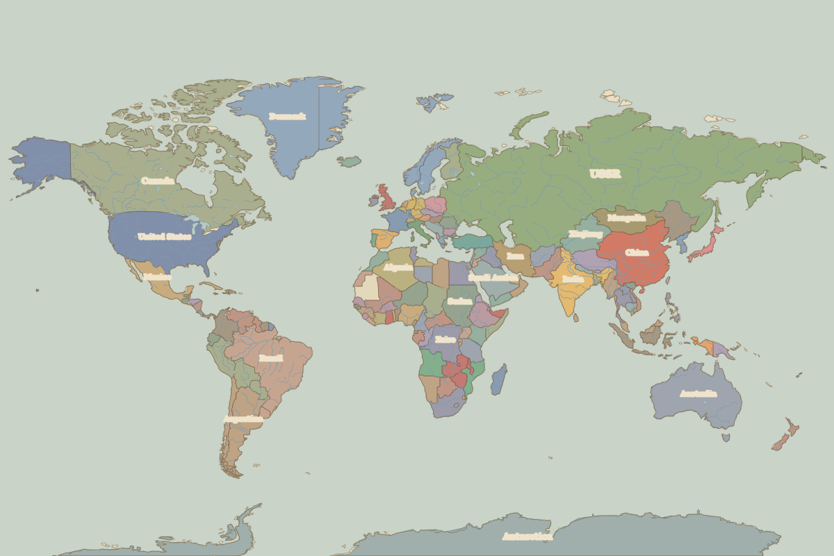
Open 1945 in the interactive map
Territory of USSR over time
Approximate area on each border map.
| Map year | Approx. area | Change |
|---|---|---|
| 1920 | 21.36 million km² | – |
| 1938 | 21.13 million km² | -1% |
| 1945 | 21.76 million km² | +3% |
| 1960 | 21.75 million km² | 0% |
Cities within USSR in 1945
- Kyiv
- Novgorod
- Moscow
- St Petersburg
- Tallinn
- Riga
- Vilnius
- Königsberg
- Lviv
- Odesa
- Sevastopol
- Kazan
- Sarai
- Tbilisi
- Baku
- Samarkand
- Bukhara
Rulers (Rus' / Russia)
| Reign | Ruler |
|---|---|
| 1917–1924 | Lenin |
| 1924–1953 | Stalin |
| 1953–1964 | Khrushchev |
| 1964–1982 | Brezhnev |
| 1982–1985 | Andropov / Chernenko |
| 1985–1991 | Gorbachev |
| 1991–1999 | Yeltsin |