Berlin: History, Former Names & Timeline
A small town in the Margraviate of Brandenburg that grew with Prussia into the capital of the German Empire, then was divided by a wall for twenty-eight years.
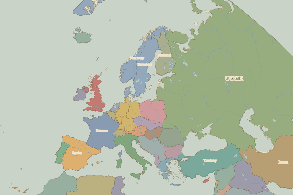 Berlin
Explore Berlin in the interactive map
Former names of Berlin
| From | Name | Note |
|---|---|---|
| 1237 | Cölln / Berlin |
Timeline of Berlin
| Year | Event |
|---|---|
| 1237 | Cölln first appears in the records |
| 1701 | Capital of the Kingdom of Prussia |
| 1871 | Capital of the German Empire |
| 1945 | The Red Army takes Berlin; the Third Reich falls |
| 1948 | Berlin Blockade and Airlift |
| 1961 | The Berlin Wall is built |
| 1989 | The Berlin Wall falls |
| 1991 | The Bundestag votes to move the capital to Berlin |
Who ruled Berlin
Derived from the border maps; each row runs until the next recorded border change.
| Period | State |
|---|---|
| 500 BC–401 BC | Unclaimed / no data |
| 400 BC–324 BC | Hallstatt culture |
| 323 BC–699 | Unclaimed / no data |
| 700–799 | Proto-Slavs |
| 800–899 | Slavonic tribes |
| 900–999 | Slavic tribes |
| 1000–1099 | Pomerania |
| 1100–1199 | Prussians |
| 1200–1782 | Holy Roman Empire |
| 1783–1879 | Prussia |
| 1880–1913 | Germany |
| 1914–1919 | German Empire |
| 1920–1944 | Germany |
| 1945–1959 | Germany (Soviet) |
| 1960–1993 | East Germany |
| 1994–today | Germany |
Battles and sites near Berlin
- Wittenberg · 1517
- Battle of Leipzig · 1813
Landmarks in and around Berlin
 Berlin PalaceRebuilt · 1443
 Brandenburg GateStanding · 1791
Nearby cities
- Prague · about 279 km
- Copenhagen · about 356 km
- Gdańsk · about 403 km