Germany: Map & Borders Over Time
Germany appears on 7 of the 39 border maps, from 1880 to 2010. Its mapped territory was largest in 1938, at roughly 560,000 km² within the map area. Chronica Maps groups it with the HRE / Germany lineage, shown in the same colour across periods.
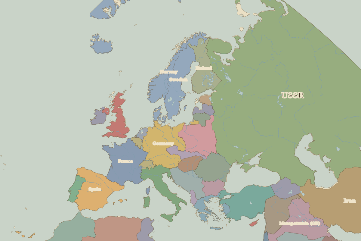
Open 1938 in the interactive map
Territory of Germany over time
Approximate area inside the map area on each border map.
| Map year | Approx. area | Change |
|---|---|---|
| 1880 | 500,000 km² | – |
| 1900 | 500,000 km² | +0% |
| 1920 | 430,000 km² | -14% |
| 1930 | 420,000 km² | -2% |
| 1938 | 560,000 km² | +33% |
| 1994 | 350,000 km² | -38% |
| 2010 | 350,000 km² | +0% |
Cities within Germany in 1938
Rulers (Franks / HRE / Germany)
| Reign | Ruler |
|---|---|
| 1871–1888 | Kaiser Wilhelm I |
| 1888–1918 | Kaiser Wilhelm II |
| 1919–1925 | Ebert (Weimar president) |
| 1925–1933 | Hindenburg (Weimar president) |
| 1933–1945 | Hitler |
| 1949–1963 | Adenauer (W. German chancellor) |
| 1963–1969 | Erhard / Kiesinger (W. German chancellors) |
| 1969–1974 | Brandt (W. German chancellor) |
| 1974–1982 | Schmidt (W. German chancellor) |
| 1982–1998 | Kohl (chancellor) |
| 1998–2005 | Schröder (chancellor) |
| 2005–2021 | Merkel (chancellor) |
| 2021–2025 | Scholz (chancellor) |
| 2025–2026 | Merz (chancellor) |