World Map in 1492
This world map shows state borders in 1492. The largest states and empires were Chagatai Khanate, Ming Empire, White Horde, Michif Piyii (Métis) and Timurid Emirates. The map stays in use until the next recorded border change in 1500.
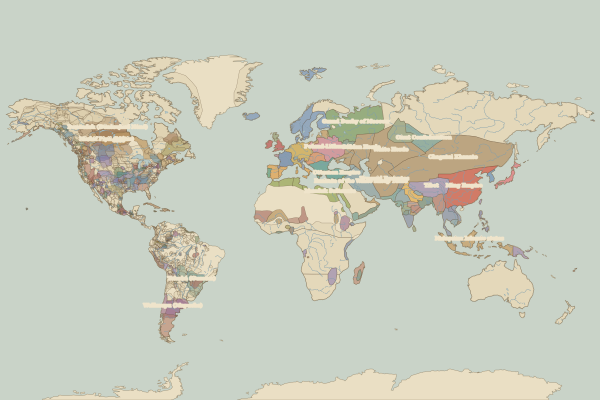
Open the world in 1492 in the interactive map
Largest states and empires in 1492
Areas are approximate, from the historical border data.
| State | Approx. area | Region |
|---|---|---|
| Chagatai Khanate | 8.37 million km² | Asia |
| Ming Empire | 4.21 million km² | Asia |
| White Horde | 2.70 million km² | Asia |
| Michif Piyii (Métis) | 2.66 million km² | – |
| Timurid Emirates | 2.16 million km² | Asia |
| Tekohá (Guarani) | 2.04 million km² | – |
| Grand Duchy of Moscow | 1.97 million km² | Europe |
| Tibet | 1.94 million km² | Asia |
| Emirate of the White Sheep Turks | 1.82 million km² | Europe |
| Malaysian Islamic states | 1.75 million km² | Asia |
| Cree | 1.66 million km² | – |
| Mamluk Sultanate | 1.47 million km² | Africa |
| Golden Horde | 1.19 million km² | Europe |
| Poland-Lithuania | 1.18 million km² | Europe |
| Wallmapu (Mapuche) | 1.18 million km² | – |
| Ottoman Empire | 1.09 million km² | Europe |
| 𐓏𐒰𐓓𐒰𐓓𐒷 𐒼𐓂𐓊𐒻 𐓆𐒻𐒿𐒷 𐓀𐒰^𐓓𐒰^(Osage) | 1.04 million km² | – |
| Kiikaapoi (Kickapoo) | 940,000 km² | – |
| Günün a atük (Günün a küna) | 940,000 km² | – |
| Holy Roman Empire | 850,000 km² | Europe |
| Oirat Confederation | 810,000 km² | Asia |
| Denendeh (Dënësųłinë́ Nëné) | 790,000 km² | – |
| Ayutthaya | 780,000 km² | Asia |
| Quechua | 780,000 km² | – |
| Burmese kingdoms | 710,000 km² | Asia |
| Sultanate of Delhi | 680,000 km² | Asia |
| Khanate of Sibir | 680,000 km² | Asia |
| Niitsítpiis-stahkoii ᖹᐟᒧᐧᐨᑯᐧ ᓴᐦᖾᐟ (Blackfoot / Niitsítapi ᖹᐟᒧᐧᒣᑯ) | 680,000 km² | – |
| Nitassinan (Innu) | 650,000 km² | – |
| Mali | 620,000 km² | Africa |
Regional maps
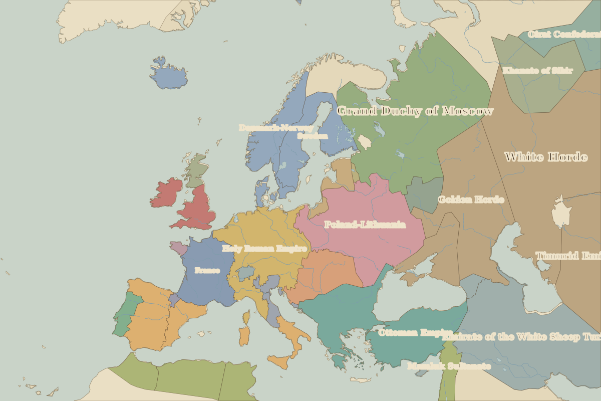
- Europe in 1492 (map image) · open in the interactive map
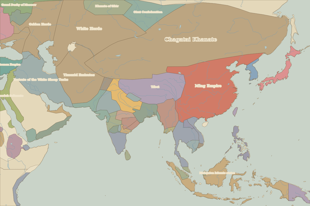
- Asia in 1492 (map image) · open in the interactive map
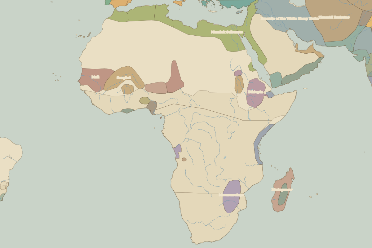
- Africa in 1492 (map image) · open in the interactive map
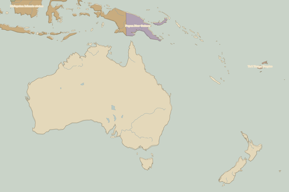
- Oceania in 1492 (map image) · open in the interactive map
- Europe in 1492: rulers and events
Key events, 1492 to 1499
Battles and sites in this period
- Calicut · 1498