World Map in AD 100
This world map shows state borders in AD 100. The largest states and empires were Roman Empire, Han, Parthian Empire, Saka Kingdom and Hindu kingdoms. The map stays in use until the next recorded border change in AD 200.
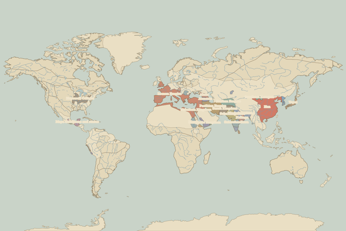
Open the world in AD 100 in the interactive map
Largest states and empires in AD 100
Areas are approximate, from the historical border data.
| State | Approx. area | Region |
|---|---|---|
| Roman Empire | 4.59 million km² | Europe |
| Han | 4.08 million km² | Asia |
| Parthian Empire | 1.75 million km² | Europe |
| Saka Kingdom | 1.21 million km² | Asia |
| Hindu kingdoms | 1.18 million km² | Asia |
| Suren Kingdom | 920,000 km² | Asia |
| Kushan Empire | 820,000 km² | Asia |
| Hopewell Culture | 780,000 km² | – |
| Satavahanihara | 650,000 km² | Asia |
| Meroe | 600,000 km² | Africa |
| Himyarite Kingdom | 470,000 km² | Africa |
| Maya chiefdoms and states | 360,000 km² | – |
| Kalinga | 320,000 km² | Asia |
| Yayoi | 280,000 km² | Asia |
| Alans | 270,000 km² | Europe |
| Armenia | 220,000 km² | Europe |
| Southern Xiongnu | 190,000 km² | Asia |
| Nabatean Kingdom | 170,000 km² | Africa |
| Koguryo | 130,000 km² | Asia |
| Dacia | 120,000 km² | Europe |
| Hadramaut | 110,000 km² | Africa |
| Moche | 100,000 km² | – |
| Axum | 90,000 km² | Africa |
| Yueban | 70,000 km² | Asia |
| Bohemia (Marcomanni) | 70,000 km² | Europe |
| Monte Albán | 60,000 km² | – |
| Simhala | 60,000 km² | Asia |
| Nazca | 40,000 km² | – |
| Teotihuacan | 40,000 km² | – |
| Silla | 40,000 km² | Asia |
Regional maps
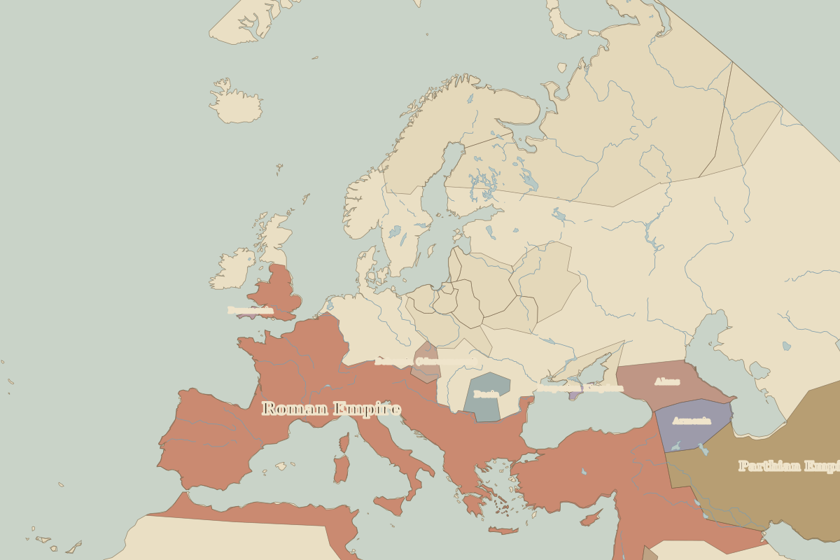
- Europe in AD 100 (map image) · open in the interactive map
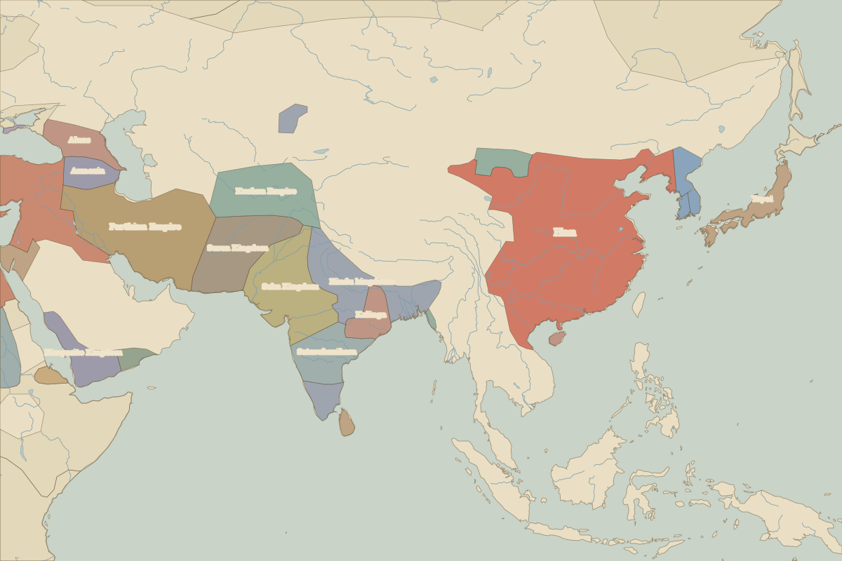
- Asia in AD 100 (map image) · open in the interactive map
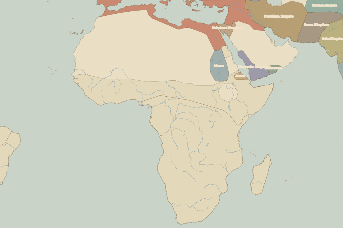
- Africa in AD 100 (map image) · open in the interactive map
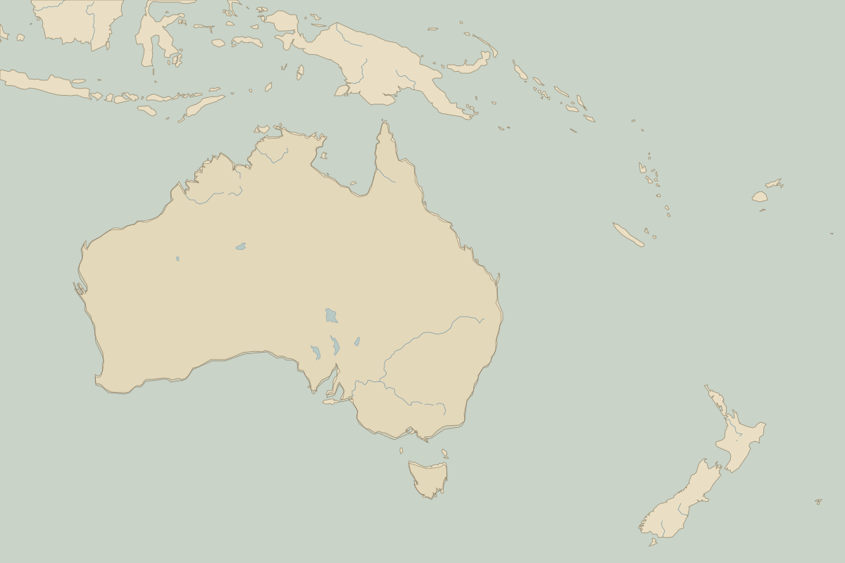
- Oceania in AD 100 (map image) · open in the interactive map
- Europe in AD 100: rulers and events
Key events, AD 100 to AD 199
| Year | Event | Where |
|---|---|---|
| AD 117 | Trajan dies; the empire at its greatest extent | Rome |
| AD 122 | Hadrian's Wall begun | Hadrian's Wall |
Battles and sites in this period
- Hadrian's Wall · AD 122