Hadrian's Wall AD 122
Hadrian orders a wall across northern Britain, some 117 km long, marking the empire's north-western frontier.
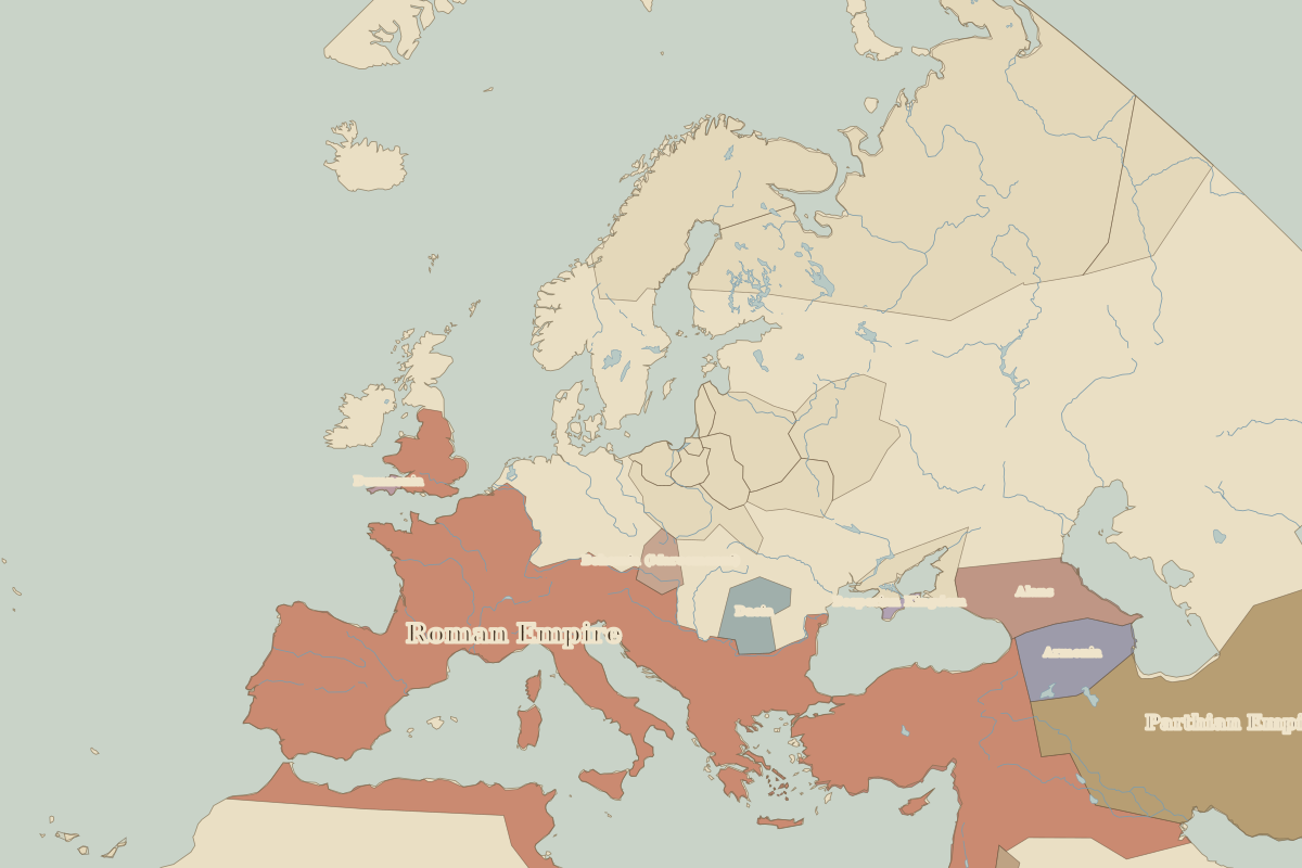 Hadrian's Wall
Open Hadrian's Wall in the interactive map
Key facts
| Date | AD 122 |
| Type | Historic site or event |
| Location | 55.00° N, -2.30° E |
| Nearest city on the map | York (about 140 km) |
| Territory of (map of AD 100) | Roman Empire |
Rulers in AD 122
| Realm | Ruler | Reign |
|---|
| Rome | Hadrian | 117–138 |
Europe around AD 122
| Year | Event | Where |
|---|
| AD 117 | Trajan dies; the empire at its greatest extent | Rome |
Other battles and sites nearby