World Map in 1800
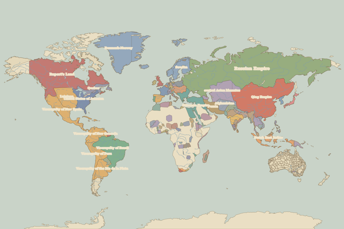
This world map shows state borders in 1800. The largest states and empires were Russian Empire, Qing Empire, Viceroyalty of Brazil, Rupert's Land and Viceroyalty of New Spain. The map stays in use until the next recorded border change in 1815.
Open the world in 1800 in the interactive map
Largest states and empires in 1800
Areas are approximate, from the historical border data.
| State | Approx. area | Region |
|---|---|---|
| Russian Empire | 16.34 million km² | – |
| Qing Empire | 12.21 million km² | Asia |
| Viceroyalty of Brazil | 8.10 million km² | – |
| Rupert's Land | 7.85 million km² | – |
| Viceroyalty of New Spain | 4.09 million km² | – |
| central Asian khanates | 3.47 million km² | Asia |
| Luisiana | 3.14 million km² | – |
| Viceroyalty of New Granada | 3.09 million km² | – |
| Ottoman Empire | 3.08 million km² | Europe |
| Viceroyalty of Peru | 2.80 million km² | – |
| Denmark-Norway | 2.56 million km² | – |
| Viceroyalty of the Río de la Plata | 2.36 million km² | – |
| United States of America | 2.30 million km² | – |
| Dutch East Indies | 1.70 million km² | Asia |
| Persia | 1.65 million km² | Asia |
| Afghanistan | 1.31 million km² | Asia |
| Maratha Confederacy | 1.02 million km² | Asia |
| Quebec | 950,000 km² | – |
| Rattanakosin Kingdom | 840,000 km² | Asia |
| Sweden | 750,000 km² | Europe |
| Nejd | 660,000 km² | Africa |
| Burma | 650,000 km² | Asia |
| Spain | 640,000 km² | Europe |
| Austrian Empire | 620,000 km² | Europe |
| Rajputs | 560,000 km² | Asia |
| France | 540,000 km² | Europe |
| Sikhs | 530,000 km² | Asia |
| Bundelkhand | 510,000 km² | Asia |
| Morocco | 500,000 km² | Europe |
| Segu | 440,000 km² | Africa |
Regional maps
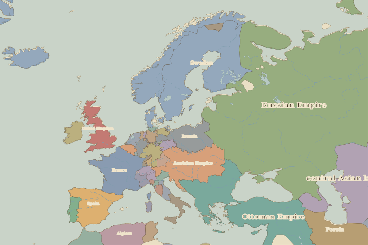
- Europe in 1800 (map image) · open in the interactive map
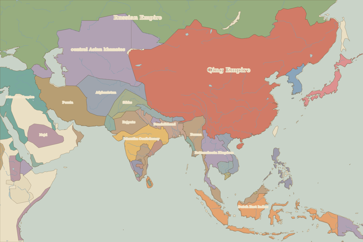
- Asia in 1800 (map image) · open in the interactive map
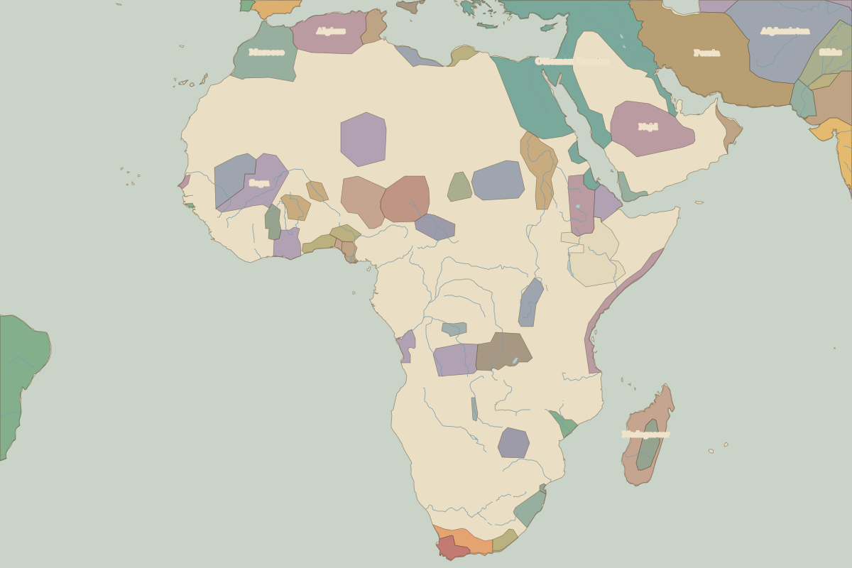
- Africa in 1800 (map image) · open in the interactive map
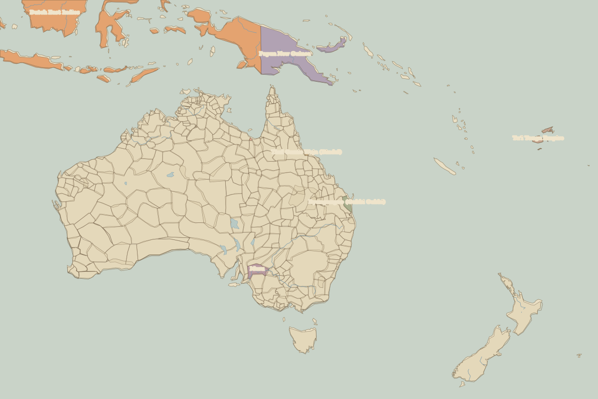
- Oceania in 1800 (map image) · open in the interactive map
- Europe in 1800: rulers and events
Key events, 1800 to 1814
| Year | Event | Where |
|---|---|---|
| 1805 | Austerlitz and Trafalgar | Battle of Austerlitz |
| 1806 | Holy Roman Empire dissolved | Vienna |
| 1809 | Finland passes to Russia | Turku |
| 1812 | Napoleon invades Russia | Battle of Borodino |
Battles and sites in this period
- Battle of Austerlitz · 1805
- Battle of Trafalgar · 1805
- Battle of Borodino · 1812
- Battle of Leipzig · 1813