Austrian Empire: Map & Borders Over Time
Austrian Empire appears on 5 of the 39 border maps, from 1650 to 1815. Its mapped territory was largest in 1783, at roughly 620,000 km² within the map area. Chronica Maps groups it with the Austria lineage, shown in the same colour across periods.
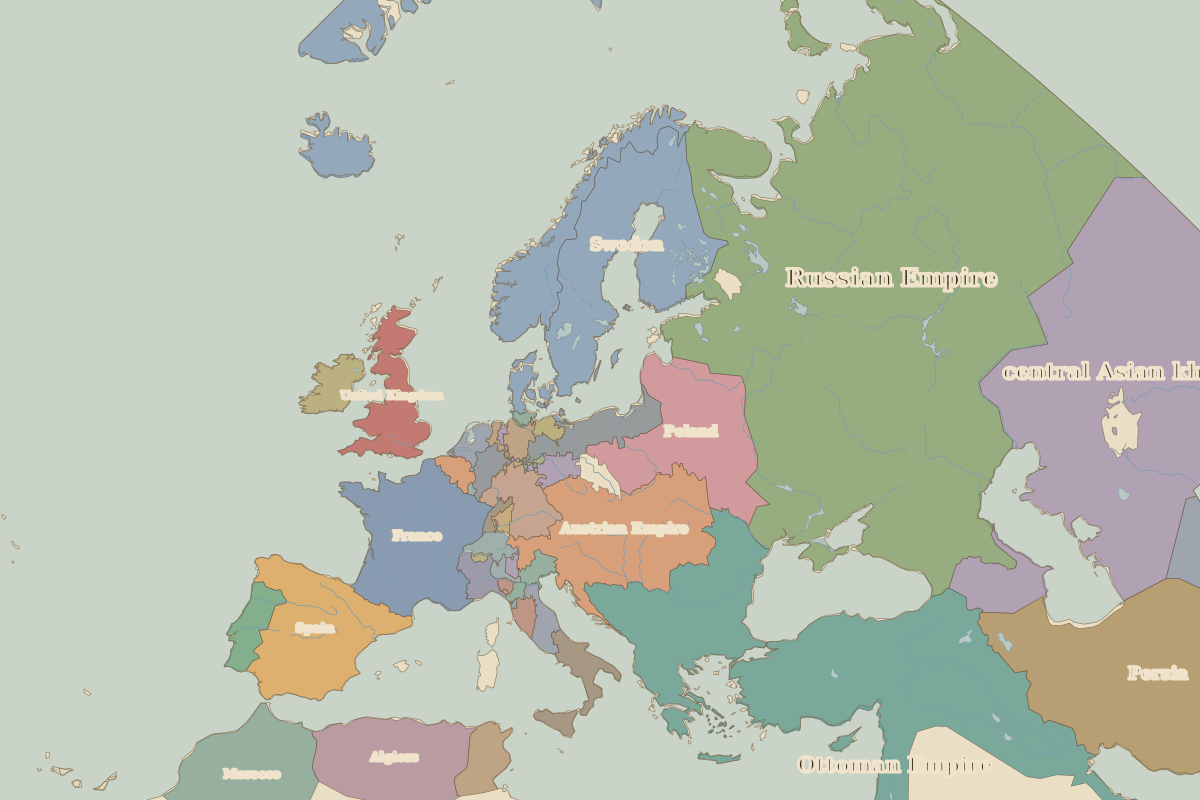
Open 1783 in the interactive map
Territory of Austrian Empire over time
Approximate area inside the map area on each border map.
| Map year | Approx. area | Change |
|---|---|---|
| 1650 | 0 km² | – |
| 1700 | 420,000 km² | +8461% |
| 1783 | 620,000 km² | +48% |
| 1800 | 620,000 km² | 0% |
| 1815 | 600,000 km² | -2% |