World Map in 1880
This world map shows state borders in 1880. The largest states and empires were Russian Empire, Manchu Empire, Canada, United States of America and Kingdom of Brazil. The map stays in use until the next recorded border change in 1900.
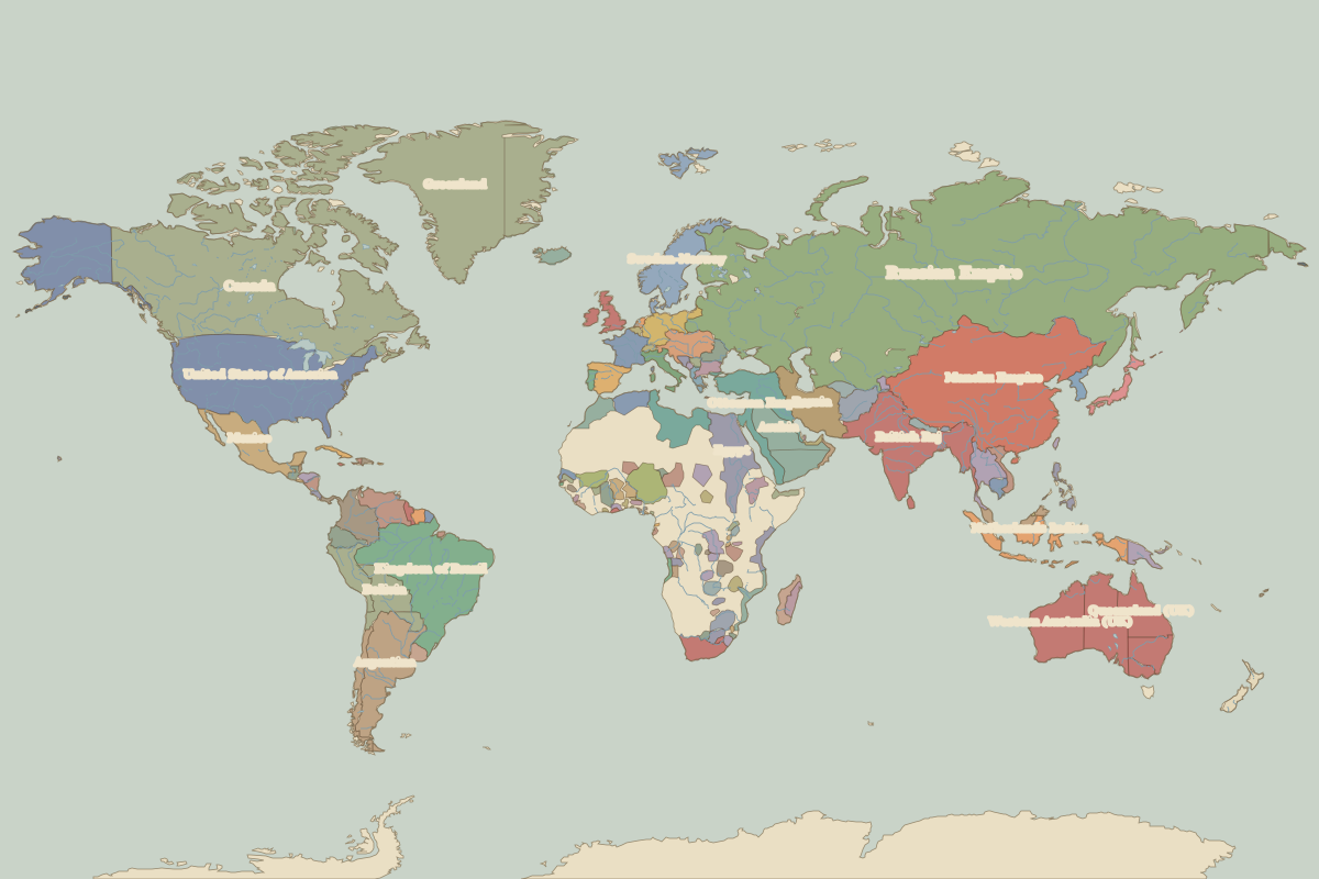
Open the world in 1880 in the interactive map
Largest states and empires in 1880
Areas are approximate, from the historical border data.
| State | Approx. area | Region |
|---|---|---|
| Russian Empire | 21.46 million km² | – |
| Manchu Empire | 11.02 million km² | Asia |
| Canada | 9.37 million km² | – |
| United States of America | 9.36 million km² | – |
| Kingdom of Brazil | 8.03 million km² | – |
| British Raj | 4.71 million km² | Asia |
| Ottoman Empire | 3.16 million km² | Europe |
| Argentina | 2.78 million km² | – |
| Western Australia (UK) | 2.52 million km² | Oceania |
| Arabia | 2.22 million km² | Africa |
| Greenland | 2.09 million km² | – |
| Egypt | 2.04 million km² | Africa |
| Mexico | 1.92 million km² | – |
| Persia | 1.78 million km² | Europe |
| Netherlands Indies | 1.70 million km² | Asia |
| Queensland (UK) | 1.68 million km² | Oceania |
| Bolivia | 1.48 million km² | – |
| Colombia | 1.40 million km² | – |
| Northern Territory (UK) | 1.23 million km² | Oceania |
| Venezuela | 1.16 million km² | – |
| South Australia (UK) | 1.12 million km² | Oceania |
| Peru | 1.10 million km² | – |
| Sokoto Caliphate | 1.01 million km² | Africa |
| Rattanakosin Kingdom | 840,000 km² | Asia |
| New South Wales (UK) | 820,000 km² | Oceania |
| Sweden–Norway | 780,000 km² | Europe |
| Afghanistan | 650,000 km² | Asia |
| Spain | 600,000 km² | Europe |
| Austria Hungary | 600,000 km² | Europe |
| Cape Colony | 560,000 km² | Africa |
Regional maps
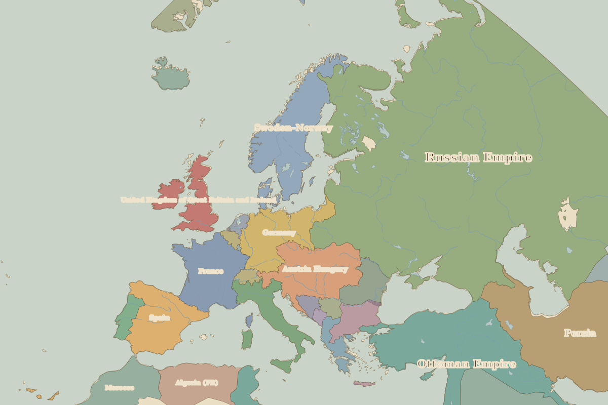
- Europe in 1880 (map image) · open in the interactive map
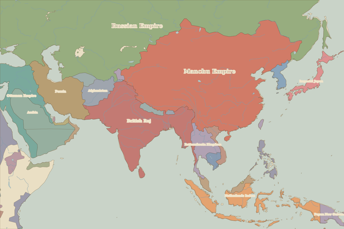
- Asia in 1880 (map image) · open in the interactive map
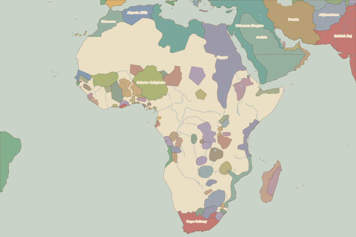
- Africa in 1880 (map image) · open in the interactive map
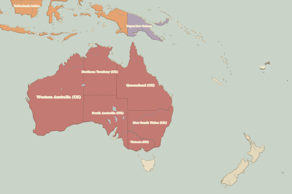
- Oceania in 1880 (map image) · open in the interactive map
- Europe in 1880: rulers and events
Key events, 1880 to 1899
| Year | Event | Where |
|---|---|---|
| 1896 | Battle of Adwa | Battle of Adwa |
| 1898 | Battle of Omdurman | Battle of Omdurman |
Battles and sites in this period
- Battle of Adwa · 1896
- Battle of Omdurman · 1898