Normandy Landings 1944
The Allies land on 6 June, opening a second front in Europe.
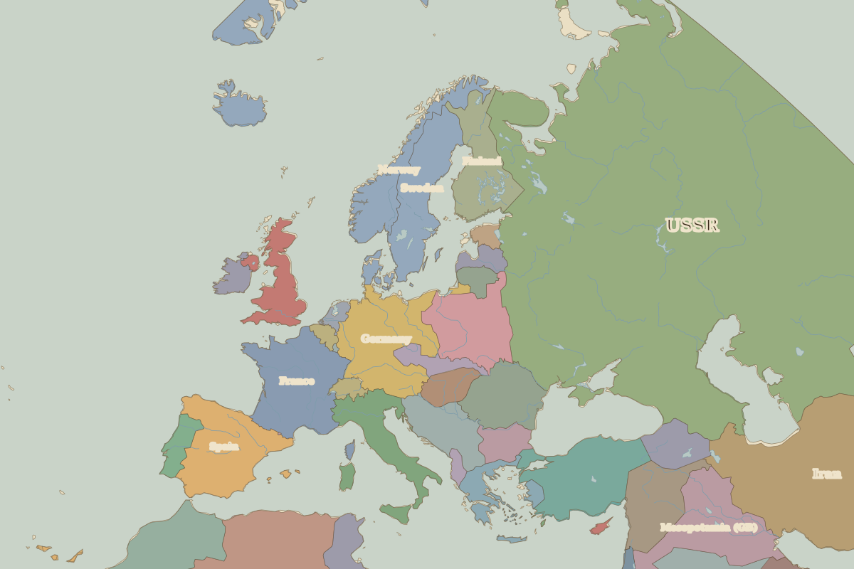 Normandy
Open Normandy Landings in the interactive map
Key facts
| Date | 1944 |
| Type | Battle |
| Location | 49.35° N, -0.60° E |
| Nearest city on the map | Paris (about 222 km) |
| Territory of (map of 1938) | France |
Rulers in 1944
| Realm | Ruler | Reign |
|---|
| Franks / HRE / Germany | Hitler | 1933–1945 |
| France | Vichy / Free France | 1940–1944 |
| England / UK | Edward VIII / George VI | 1936–1952 |
| Spain | Franco | 1939–1975 |
| Rus' / Russia | Stalin | 1924–1953 |
The world around 1944
Other battles and sites nearby