Battle of Stalingrad 1942
The Red Army encircles the German Sixth Army on the Volga: the turning point of the Eastern Front.
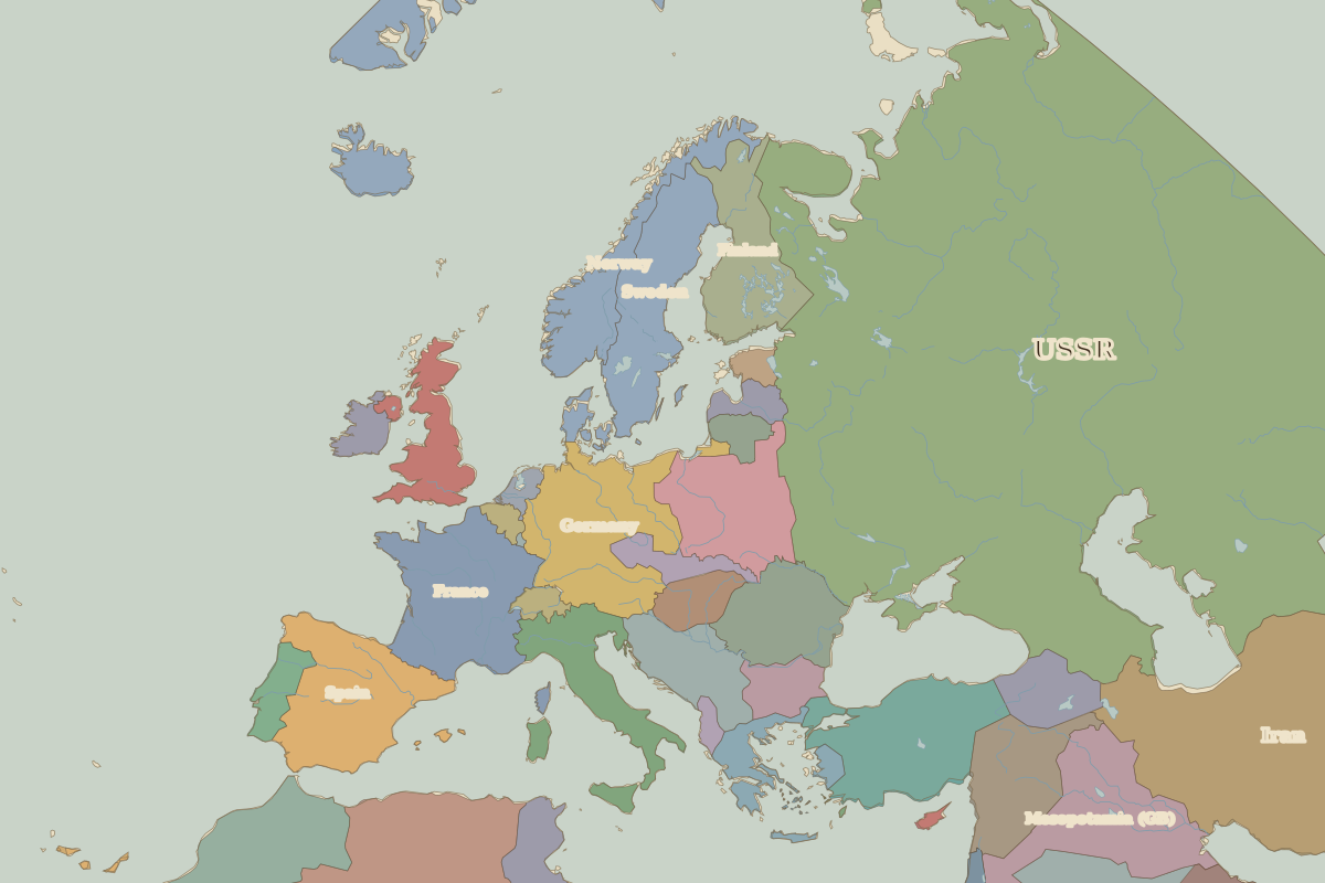 Stalingrad
Open Battle of Stalingrad in the interactive map
Key facts
| Date | 1942 |
| Type | Battle |
| Location | 48.71° N, 44.52° E |
| Nearest city on the map | Sarai (about 282 km) |
| Territory of (map of 1938) | USSR |
Rulers in 1942
| Realm | Ruler | Reign |
|---|
| Franks / HRE / Germany | Hitler | 1933–1945 |
| France | Vichy / Free France | 1940–1944 |
| England / UK | Edward VIII / George VI | 1936–1952 |
| Spain | Franco | 1939–1975 |
| Rus' / Russia | Stalin | 1924–1953 |
The world around 1942