Münster 1648
The Peace of Westphalia, signed at Münster and Osnabrück, ends the Thirty Years' War and shapes the sovereign-state system.
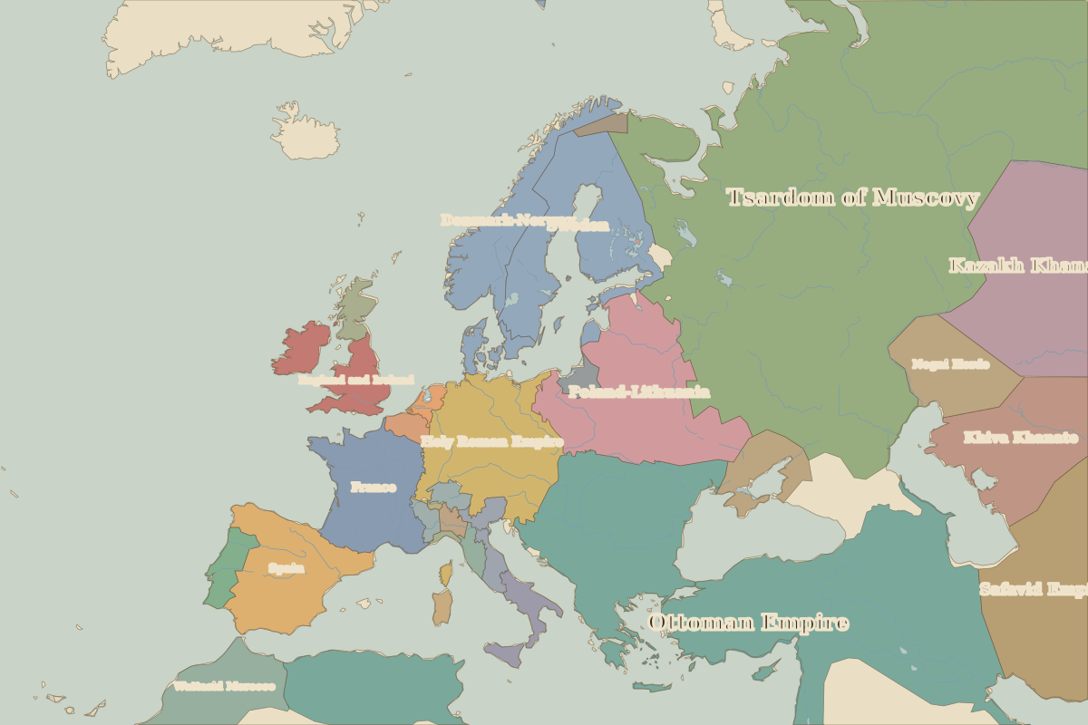 Münster
Open Münster in the interactive map
Key facts
| Date | 1648 |
| Type | Historic site or event |
| Location | 51.96° N, 7.63° E |
| Nearest city on the map | Cologne (about 123 km) |
| Territory of (map of 1600) | Holy Roman Empire |
Rulers in 1648
| Realm | Ruler | Reign |
|---|---|---|
| Franks / HRE / Germany | Ferdinand III | 1637–1657 |
| France | Louis XIV | 1643–1715 |
| England / UK | Charles I | 1625–1649 |
| Spain | Philip IV | 1621–1665 |
| Rus' / Russia | Alexis | 1645–1676 |
| Ottomans / Turkey | Mehmed IV | 1648–1687 |
Other battles and sites nearby
- Battle of the Teutoburg Forest · AD 9
- Battle of Waterloo · 1815
- Maastricht · 1992