What Country Was Mannheim In?
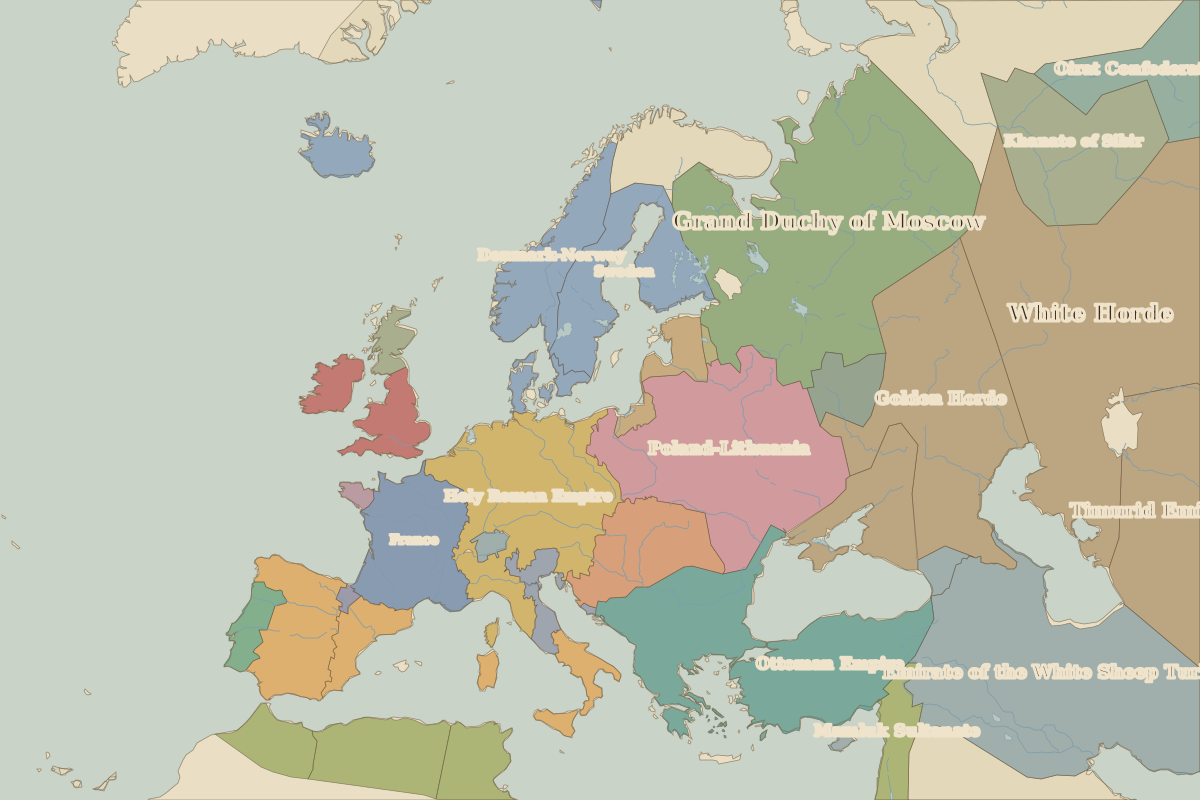
Mannheim (Baden-Württemberg, Germany) lies within 12 different states on Chronica Maps' 39 historical border maps. The longest stretch is under Holy Roman Empire, from 1000 to 1782. The earliest state recorded here is Roman Empire (1 BC).
Who ruled Mannheim?
| Period (by border map) | Ruled by |
|---|---|
| 500 BC – 401 BC | Unclaimed / no data |
| 400 BC – 324 BC | Hallstatt culture |
| 323 BC – 2 BC | Unclaimed / no data |
| 1 BC – AD 299 | Roman Empire |
| AD 300 – AD 399 | Rome (Constantinus) |
| AD 400 – AD 499 | Western Roman Empire |
| AD 500 – AD 599 | Thuringians |
| AD 600 – AD 799 | Frankish Kingdom |
| AD 800 – AD 899 | Carolingian Empire |
| AD 900 – AD 999 | East Francia |
| 1000 – 1782 | Holy Roman Empire |
| 1783 – 1879 | Baden |
| 1880 – 1913 | Germany |
| 1914 – 1919 | German Empire |
| 1920 – 1944 | Germany |
| 1945 – 1959 | Germany (USA) |
| 1960 – 1993 | West Germany |
| 1994 – today | Germany |
 Mannheim
Historic cities nearby
- Strasbourg · about 110 km
- Trier · about 130 km
- Nuremberg · about 190 km
- Cologne · about 190 km
Landmarks nearby
Based on approximate historical borders; towns close to a frontier may be assigned to a neighbouring state.
Famous people from the region
| Lived | Person | |
|---|---|---|
| c. AD 742 – AD 814 | Charlemagne | King of the Franks and emperor |
| c. 1400 – 1468 | Johannes Gutenberg | Inventor of printing |
| c. 1412 – 1431 | Joan of Arc | French national heroine |
| 1471 – 1528 | Albrecht Dürer | Painter and printmaker |
| 1749 – 1832 | Johann Wolfgang von Goethe | Writer |
| 1770 – 1827 | Ludwig van Beethoven | Composer |
| 1818 – 1883 | Karl Marx | Philosopher and economist |
| 1879 – 1955 | Albert Einstein | Physicist |