What Country Was Perm In?
Perm (Perm', Russia) lies within 9 different states on Chronica Maps' 39 historical border maps. The longest stretch is under Tsardom of Muscovy, from 1600 to 1782. The earliest state recorded here is Khanate of the Golden Horde (1300).
Who ruled Perm?
| Period (by border map) | Ruled by |
|---|---|
| 500 BC – AD 799 | Finno-Ugric taiga hunter-gatherers |
| AD 800 – AD 899 | Permians |
| AD 900 – 1299 | Finno-Ugric taiga hunter-gatherers |
| 1300 – 1399 | Khanate of the Golden Horde |
| 1400 – 1491 | White Horde |
| 1492 – 1499 | Golden Horde |
| 1500 – 1599 | Grand Duchy of Moscow |
| 1600 – 1782 | Tsardom of Muscovy |
| 1783 – 1919 | Russian Empire |
| 1920 – 1929 | USSR |
| 1930 – 1937 | White Russia |
| 1938 – 1993 | USSR |
| 1994 – today | Russia |
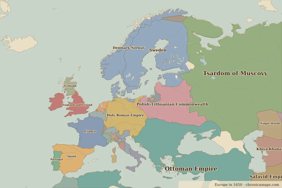 Perm
Historic cities nearby
- Kazan · about 500 km
Based on approximate historical borders; towns close to a frontier may be assigned to a neighbouring state.
Famous people from the region
| Lived | Person | |
|---|---|---|
| 1840 – 1893 | Pyotr Ilyich Tchaikovsky | Composer |
Last updated 9 November 2026. Sources: border data from historical-basemaps, land and rivers from Natural Earth; texts written for Chronica Maps from standard reference works. How we make the maps.