What Country Was Newcastle In?
Newcastle (Tyne and Wear, United Kingdom) lies within 9 different states on Chronica Maps' 39 historical border maps. The longest stretch is under Roman Empire, from AD 100 to AD 299. The earliest state recorded here is Roman Empire (AD 100).
Who ruled Newcastle?
| Period (by border map) | Ruled by |
|---|---|
| 500 BC – 401 BC | Unclaimed / no data |
| 400 BC – 2 BC | Celts |
| 1 BC – AD 99 | Unclaimed / no data |
| AD 100 – AD 299 | Roman Empire |
| AD 300 – AD 399 | Rome (Constantinus) |
| AD 400 – AD 499 | Unclaimed / no data |
| AD 500 – AD 599 | Anglo-Saxons |
| AD 600 – AD 799 | Unclaimed / no data |
| AD 800 – AD 999 | Northumbria |
| 1000 – 1199 | England |
| 1200 – 1299 | Angevin Empire |
| 1300 – 1491 | English territory |
| 1492 – 1599 | England |
| 1600 – 1782 | England and Ireland |
| 1783 – 1814 | United Kingdom |
| 1815 – 1937 | United Kingdom of Great Britain and Ireland |
| 1938 – today | United Kingdom |
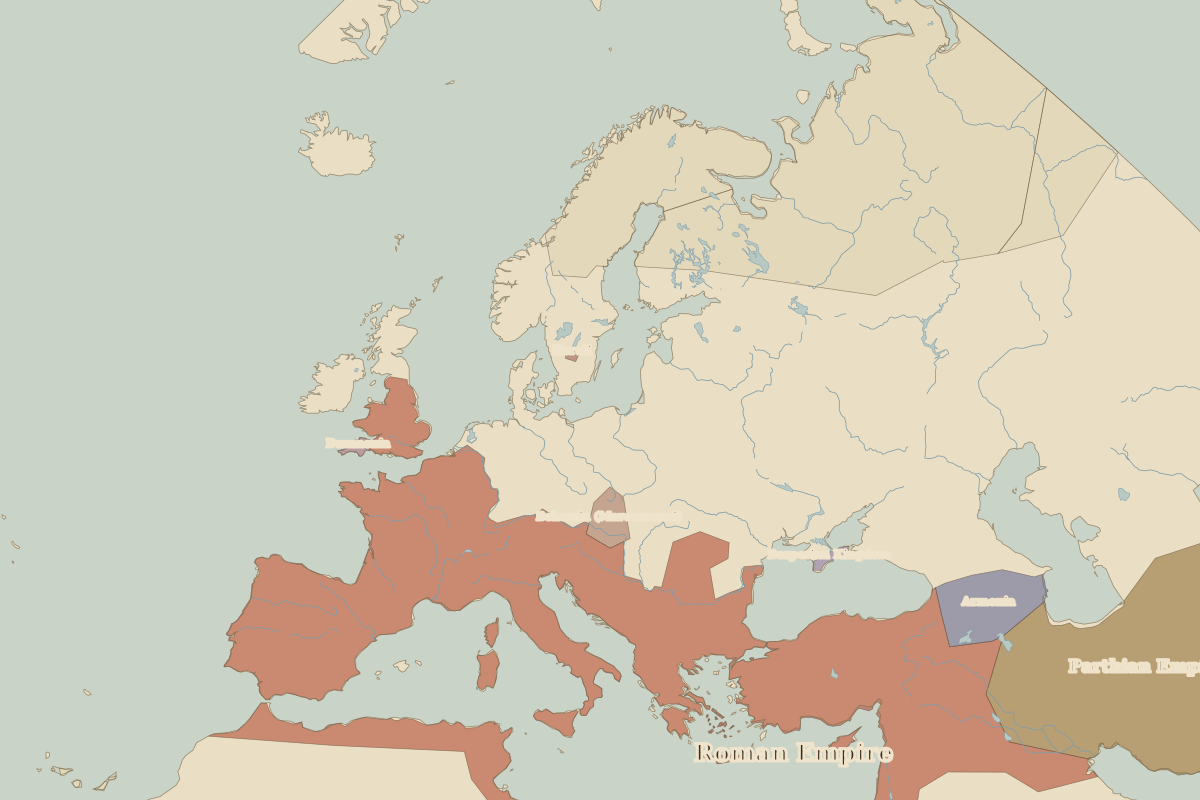 Newcastle
Historic cities nearby
Battles and events within 200 km
- Hadrian's Wall · AD 122
- Lindisfarne · AD 793
Based on approximate historical borders; towns close to a frontier may be assigned to a neighbouring state.