What Country Was Qingyuan In?
Qingyuan (Guangdong, China) lies within 16 different states on Chronica Maps' 39 historical border maps. The longest stretch is under Han, from 1 BC to AD 299. The earliest state recorded here is Han Empire (200 BC).
Who ruled Qingyuan?
| Period (by border map) | Ruled by |
|---|---|
| 500 BC – 401 BC | Unclaimed / no data |
| 400 BC – 324 BC | Austro-Asiatic rice cultures |
| 323 BC – 201 BC | Unclaimed / no data |
| 200 BC – 2 BC | Han Empire |
| 1 BC – AD 299 | Han |
| AD 300 – AD 499 | Jin |
| AD 500 – AD 599 | Jin Empire |
| AD 600 – AD 699 | Sui Empire |
| AD 700 – AD 999 | Tang Empire |
| 1000 – 1299 | Song Empire |
| 1300 – 1399 | Great Khanate |
| 1400 – 1499 | Ming Empire |
| 1500 – 1649 | Ming Chinese Empire |
| 1650 – 1782 | Post-Ming Warlords |
| 1783 – 1814 | Qing Empire |
| 1815 – 1919 | Manchu Empire |
| 1920 – 1937 | Chinese Warlords |
| 1938 – 1944 | Chinese warlords |
| 1945 – today | China |
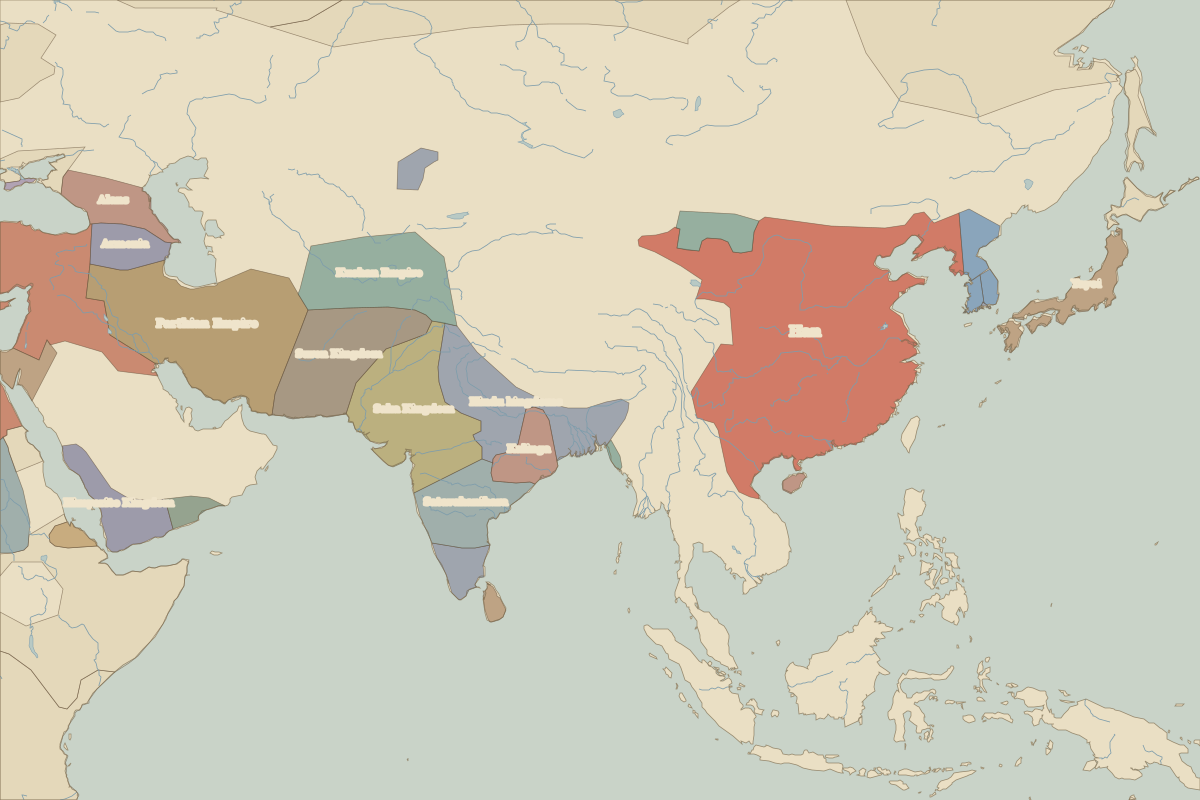 Qingyuan
Historic cities nearby
Battles and events within 200 km
- Battle of Yamen · 1279
Based on approximate historical borders; towns close to a frontier may be assigned to a neighbouring state.
Famous people from the region
| Lived | Person | |
|---|---|---|
| 1866 – 1925 | Sun Yat-sen | Founder of the Republic of China |