What Country Was Bur Said In?
Bur Said (Bur Sa`id, Egypt) lies within 11 different states on Chronica Maps' 39 historical border maps. The longest stretch is under Roman Empire, from 1 BC to AD 299. The earliest state recorded here is Achaemenid Empire (500 BC).
Who ruled Bur Said?
| Period (by border map) | Ruled by |
|---|---|
| 500 BC – 324 BC | Achaemenid Empire |
| 323 BC – 301 BC | Empire of Alexander |
| 300 BC – 2 BC | Ptolemaic Kingdom |
| 1 BC – AD 299 | Roman Empire |
| AD 300 – AD 399 | Rome (Diocletianus) |
| AD 400 – AD 699 | Eastern Roman Empire |
| AD 700 – AD 799 | Umayyad Caliphate |
| AD 800 – AD 999 | Abbasid Caliphate |
| 1000 – 1299 | Fatimid Caliphate |
| 1300 – 1599 | Mamluk Sultanate |
| 1600 – 1814 | Ottoman Empire |
| 1815 – today | Egypt |
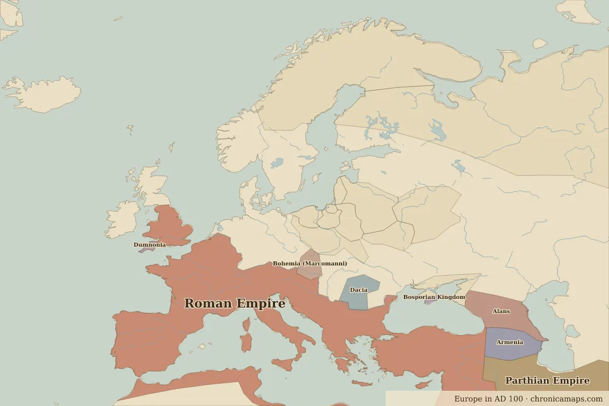 Bur Said
Historic cities nearby
- Cairo · about 170 km
- Alexandria · about 230 km
- Jerusalem · about 280 km
- Tyre · about 350 km
Battles and events within 200 km
- Suez Canal · 1869
Landmarks nearby
Based on approximate historical borders; towns close to a frontier may be assigned to a neighbouring state.
Famous people from the region
| Lived | Person | |
|---|---|---|
| c. 325 BC – 265 BC | Euclid | Mathematician |
| 69 BC – 30 BC | Cleopatra VII | Queen of Egypt |
| c. AD 100 – AD 170 | Ptolemy | Astronomer and geographer |
| c. AD 355 – AD 415 | Hypatia | Philosopher and mathematician |
| 1918 – 1970 | Gamal Abdel Nasser | President of Egypt |
Last updated 9 November 2026. Sources: border data from historical-basemaps, land and rivers from Natural Earth; texts written for Chronica Maps from standard reference works. How we make the maps.