What Country Was Qui Nhon In?
Qui Nhon (Bình Ð?nh, Vietnam) lies within 8 different states on Chronica Maps' 39 historical border maps. The longest stretch is under Champa, from AD 500 to 1199. The earliest state recorded here is Mon-Khmer (200 BC).
Who ruled Qui Nhon?
| Period (by border map) | Ruled by |
|---|---|
| 500 BC – 401 BC | Unclaimed / no data |
| 400 BC – 324 BC | Austro-Asiatic rice cultures |
| 323 BC – 201 BC | Unclaimed / no data |
| 200 BC – 101 BC | Mon-Khmer |
| 100 BC – AD 499 | Unclaimed / no data |
| AD 500 – 1199 | Champa |
| 1200 – 1299 | Champa City States |
| 1300 – 1491 | Champa |
| 1492 – 1814 | Đại Việt |
| 1815 – 1899 | Annam |
| 1900 – 1919 | French Indochina |
| 1920 – 1937 | Annam |
| 1938 – 1944 | French Indo-China |
| 1945 – 1959 | Annam |
| 1960 – today | Vietnam |
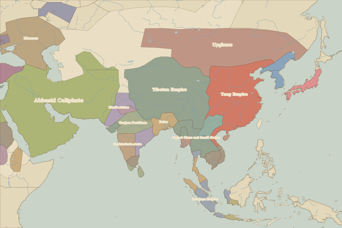 Qui Nhon
Historic cities nearby
- Huế · about 340 km
- Ho Chi Minh City · about 430 km
Based on approximate historical borders; towns close to a frontier may be assigned to a neighbouring state.