The Atlantic slave trade 1591–1807
Some ten million Africans are shipped to the Americas and coastal kingdoms are drawn into the trade.
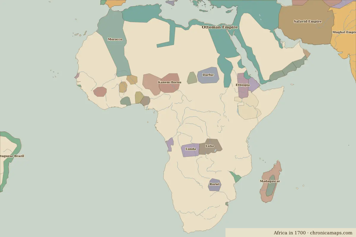
Open the The Atlantic slave trade in the interactive map
Border maps in this era
Timeline
| Year | Event | Where |
|---|---|---|
| 1591 | Battle of Tondibi: the fall of Songhai | Battle of Tondibi |
| 1652 | The Dutch found Cape Town | Cape Town |
| 1665 | Battle of Mbwila | Battle of Mbwila |
Battles and sites
- Battle of Tondibi · 1591
- Battle of Mbwila · 1665
- Gorée · 1677
← Mali, Songhai and the Swahili coastJihad states and the eve of colonialism →
Notable people of the Atlantic slave trade
| Lived | Person | |
|---|---|---|
| c. 1583 – 1663 | Queen Nzinga | Queen of Ndongo and Matamba |
| c. 1660 – 1717 | Osei Tutu | Founder of the Asante Empire |
Last updated 9 November 2026. Sources: border data from historical-basemaps, land and rivers from Natural Earth; texts written for Chronica Maps from standard reference works. How we make the maps.