Osei Tutu
United the Akan states around Kumasi into the Asante Empire, with the Golden Stool as the symbol of the nation.
| Lived | c. 1660 – 1717 |
| Known as | Founder of the Asante Empire |
| Birthplace or main place | Kumasi |
| Places on the map | Kumasi |
 Kumasi
See the world of Osei Tutu in the interactive map
Who ruled these places in his lifetime
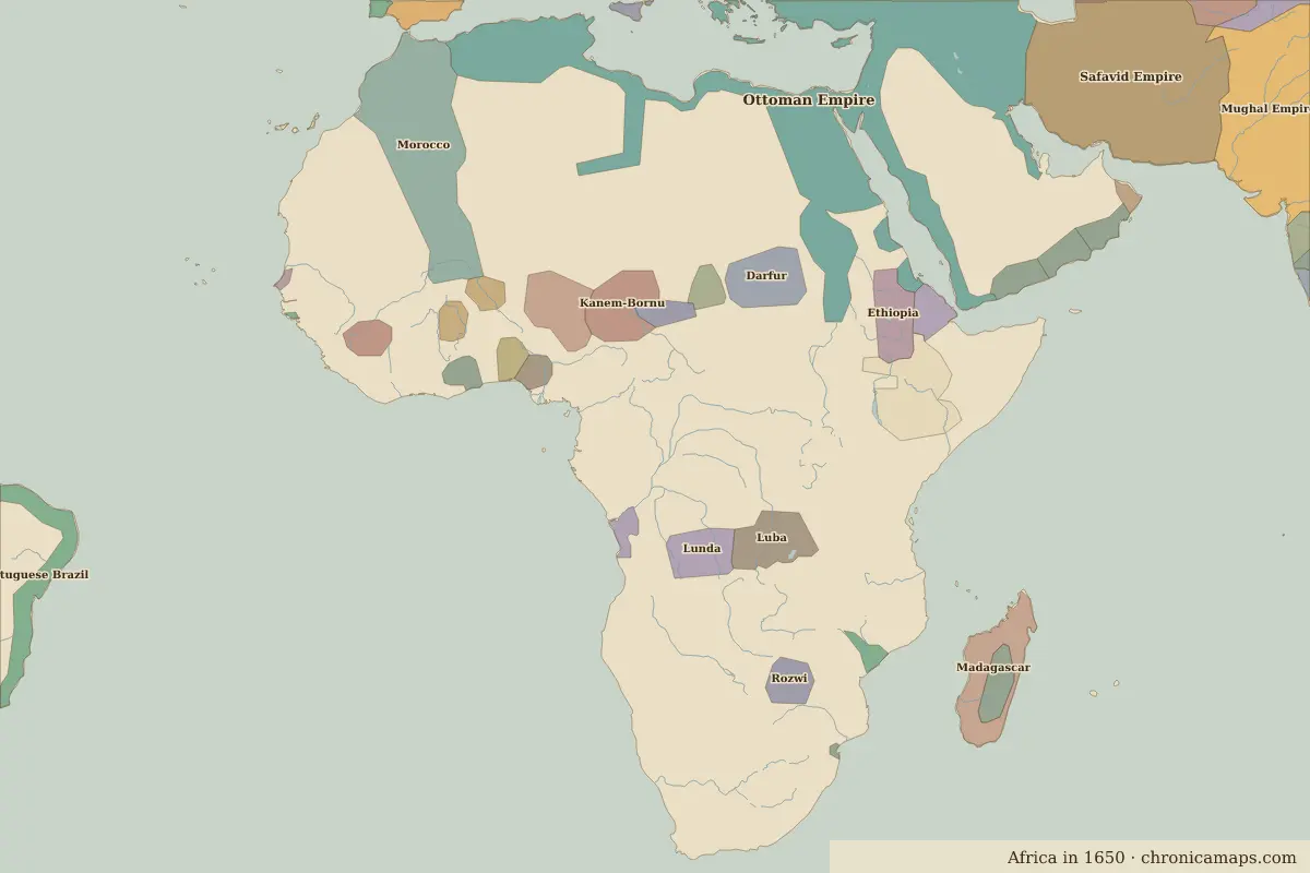
| Place | At birth (map of 1650) | At death (map of 1700) |
|---|---|---|
| Kumasi | Akan | same |
From the border maps nearest to each date; borders are approximate.
Events in his lifetime
| Year | Event | Where |
|---|---|---|
| 1701 | Osei Tutu founds the Asante Empire | Kumasi |
Further reading
Contemporaries
| Lived | Person | |
|---|---|---|
| 1643 – 1727 | Isaac Newton | Scientist |
| 1654 – 1722 | Kangxi Emperor | Qing emperor |
| 1638 – 1715 | Louis XIV | King of France |
| 1618 – 1707 | Aurangzeb | Mughal emperor |
| 1672 – 1725 | Peter the Great | Tsar of Russia |
| c. 1648 – 1695 | Sor Juana Inés de la Cruz | Poet and scholar |
| 1685 – 1750 | Johann Sebastian Bach | Composer |
| 1694 – 1778 | Voltaire | Enlightenment writer |
| 1632 – 1677 | Baruch Spinoza | Philosopher |
Last updated 9 November 2026. Sources: border data from historical-basemaps, land and rivers from Natural Earth; texts written for Chronica Maps from standard reference works. How we make the maps.