Battle of Mbwila 1665
Portuguese forces defeat the Kingdom of Kongo; King António I is killed and the kingdom falls into civil war.
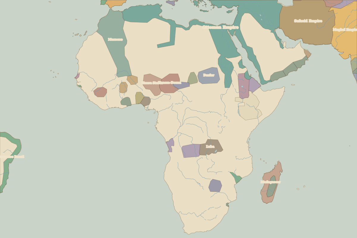 Mbwila
Open Battle of Mbwila in the interactive map
Embed this interactive map on your site
Free to use on blogs, school pages and course sites. Copy the code below; please keep the credit line.
Key facts
| Date | 1665 |
| Type | Battle |
| Location | 7.00° S, 14.90° E |
| Nearest city on the map | Luanda (about 275 km) |
| Territory of (map of 1650) | Congo |
Rulers in 1665
| Realm | Ruler | Reign |
|---|
| France | Louis XIV | 1643–1715 |
| Ottomans / Turkey | Mehmed IV | 1648–1687 |
Who was alive at the time
| Lived | Person | |
|---|
| c. 1660 – 1717 | Osei Tutu | Founder of the Asante Empire |