Mali, Songhai and the Swahili coast 1235–1591
The great West African empires and the Swahili city-states of the east coast.
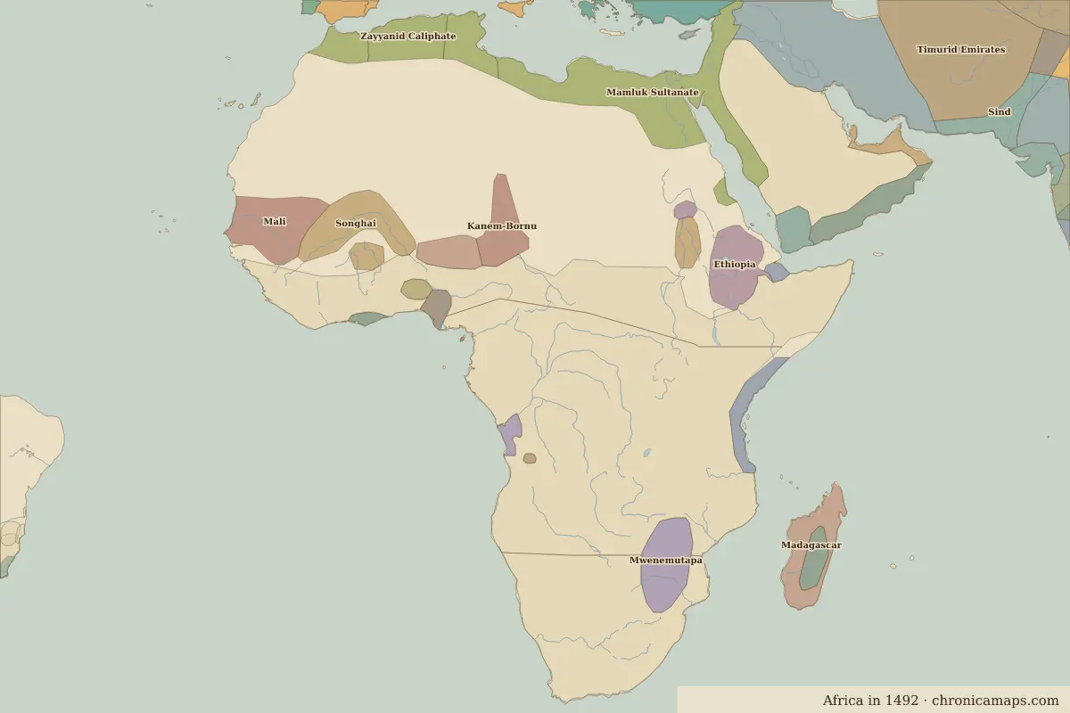
Open the Mali, Songhai and the Swahili coast in the interactive map
Border maps in this era
Timeline
| Year | Event | Where |
|---|---|---|
| 1324 | Mansa Musa's pilgrimage to Mecca | Timbuktu |
| 1482 | The Portuguese build Elmina Castle | Elmina |
Battles and sites
- Elmina · 1482
← Islam and the Ghana EmpireThe Atlantic slave trade →
Notable people of the Mali, Songhai and the Swahili coast
| Lived | Person | |
|---|---|---|
| c. 1280 – 1337 | Mansa Musa | Emperor of Mali |
| c. 1443 – 1538 | Askia Muhammad | Emperor of Songhai |
| c. 1583 – 1663 | Queen Nzinga | Queen of Ndongo and Matamba |
Last updated 9 November 2026. Sources: border data from historical-basemaps, land and rivers from Natural Earth; texts written for Chronica Maps from standard reference works. How we make the maps.