Gorée 1677
Island off Dakar held in turn by the Dutch, French and British, now a symbol of the memory of the Atlantic slave trade.
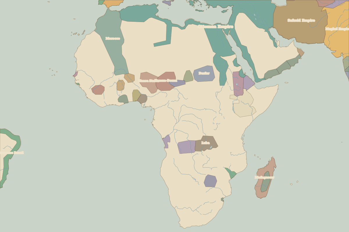 Gorée
Open Gorée in the interactive map
Key facts
| Date | 1677 |
| Type | Historic site or event |
| Location | 14.67° N, 17.40° W |
| Nearest city on the map | Dakar (about 6 km) |
| Territory of (map of 1650) | Senegal |
Rulers in 1677
| Realm | Ruler | Reign |
|---|---|---|
| France | Louis XIV | 1643–1715 |
| Ottomans / Turkey | Mehmed IV | 1648–1687 |