The age of independence 1775–1826
American independence, the Haitian Revolution and the Latin American wars of independence.
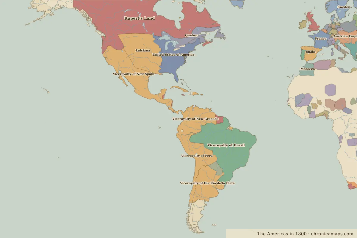
Open the The age of independence in the interactive map
Border maps in this era
Timeline
| Year | Event | Where |
|---|---|---|
| 1775 | Lexington and Concord: the American War of Independence begins | Battle of Lexington and Concord |
| 1776 | The Declaration of Independence | Philadelphia |
| 1781 | Siege of Yorktown | Battle of Yorktown |
| 1804 | Haiti becomes independent | |
| 1808 | The Portuguese court moves to Rio | Rio de Janeiro |
| 1810 | The Mexican War of Independence begins | |
| 1819 | Battle of Boyacá | Battle of Boyacá |
| 1822 | Brazil becomes independent | Rio de Janeiro |
| 1824 | Battle of Ayacucho | Battle of Ayacucho |
Battles and sites
- Battle of Lexington and Concord · 1775
- Battle of Yorktown · 1781
- Battle of Boyacá · 1819
- Battle of Ayacucho · 1824
← The colonial eraNation-building and westward expansion →
Notable people of the age of independence
| Lived | Person | |
|---|---|---|
| 1706 – 1790 | Benjamin Franklin | Scientist and statesman |
| 1732 – 1799 | George Washington | First president of the United States |
| 1743 – 1826 | Thomas Jefferson | Third president of the United States |
| 1746 – 1792 | Tiradentes | Forerunner of Brazilian independence |
| 1778 – 1850 | José de San Martín | Leader of South American independence |
| 1783 – 1830 | Simón Bolívar | Liberator of South America |
| 1806 – 1872 | Benito Juárez | President of Mexico |
| 1809 – 1865 | Abraham Lincoln | Sixteenth president of the United States |
| 1825 – 1891 | Pedro II of Brazil | Emperor of Brazil |
Last updated 9 November 2026. Sources: border data from historical-basemaps, land and rivers from Natural Earth; texts written for Chronica Maps from standard reference works. How we make the maps.