Nation-building and westward expansion 1826–1914
US westward expansion and civil war; the age of caudillos in Latin America.
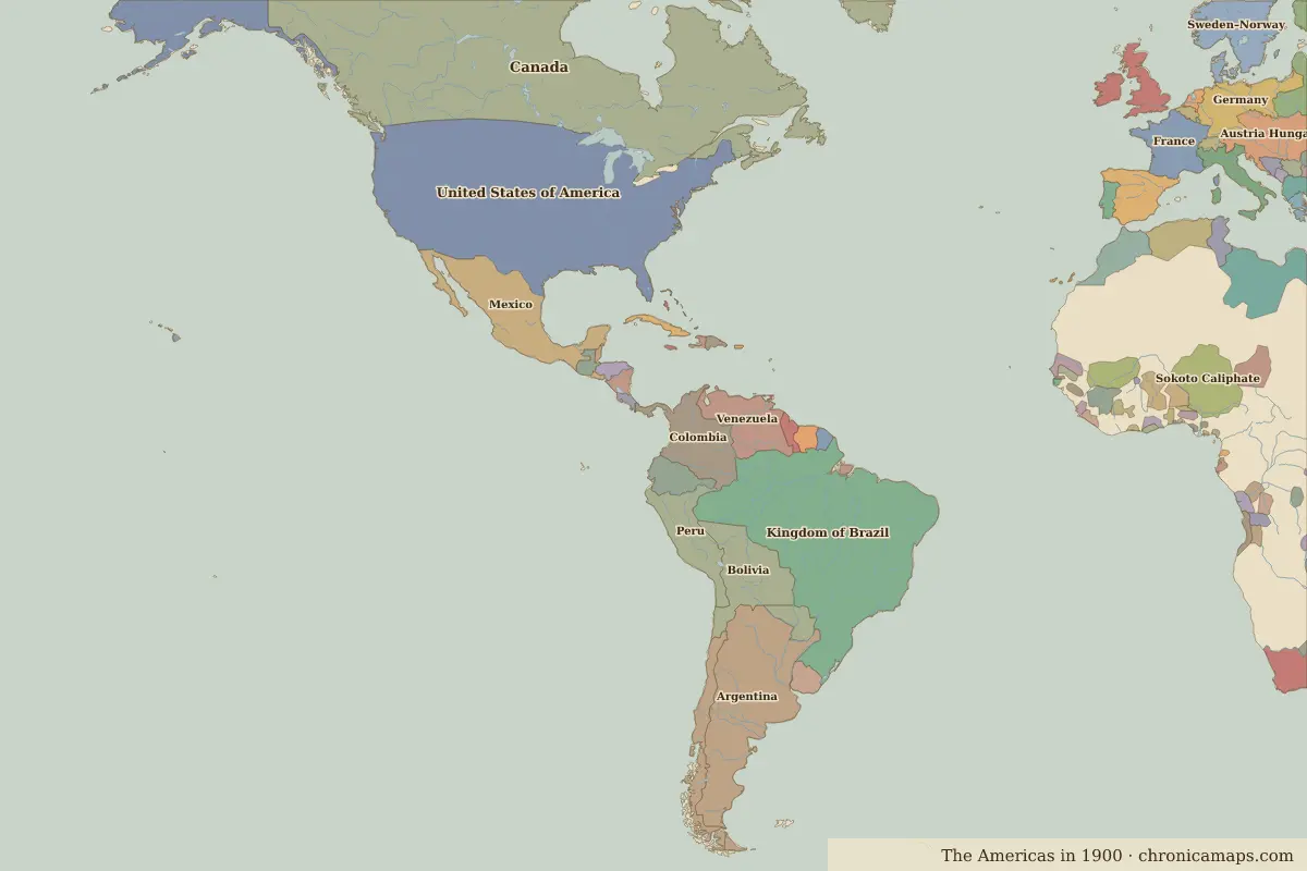
Open the Nation-building and westward expansion in the interactive map
Border maps in this era
Timeline
| Year | Event | Where |
|---|---|---|
| 1836 | Battle of the Alamo | Battle of The Alamo |
| 1848 | Gold is found in California | San Francisco |
| 1861 | The American Civil War begins | |
| 1863 | Battle of Gettysburg | Battle of Gettysburg |
| 1865 | Lincoln is assassinated | Washington, D.C. |
| 1910 | The Mexican Revolution | Mexico City |
Battles and sites
- Battle of The Alamo · 1836
- Battle of Gettysburg · 1863
← The age of independenceWorld wars and Cold War →
Notable people of the Nation-building and westward expansion
| Lived | Person | |
|---|---|---|
| 1743 – 1826 | Thomas Jefferson | Third president of the United States |
| 1778 – 1850 | José de San Martín | Leader of South American independence |
| 1783 – 1830 | Simón Bolívar | Liberator of South America |
| 1806 – 1872 | Benito Juárez | President of Mexico |
| 1809 – 1865 | Abraham Lincoln | Sixteenth president of the United States |
| 1825 – 1891 | Pedro II of Brazil | Emperor of Brazil |
| 1853 – 1895 | José Martí | Cuban poet and independence leader |
Last updated 9 November 2026. Sources: border data from historical-basemaps, land and rivers from Natural Earth; texts written for Chronica Maps from standard reference works. How we make the maps.