Home › Battles & sites › Battle of Gettysburg Battle of Gettysburg 1863
The turning point of the American Civil War, after which Lincoln gives the Gettysburg Address.
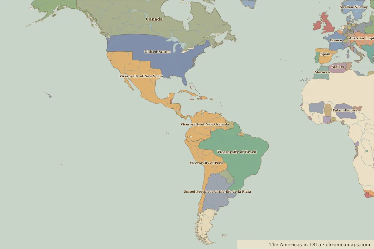
Gettysburg Border map for 1815. See the world in 1815 . Open Battle of Gettysburg in the interactive map
Embed this interactive map on your site Free to use on blogs, school pages and course sites. Copy the code below; please keep the credit line.
Key facts
Rulers in 1863 Realm Ruler Reign United States Abraham Lincoln 1861–1865
The world around 1863 Year Event Where 1861 The American Civil War begins 1865 Lincoln is assassinated Washington, D.C.
Other battles and sites nearby Further reading Who was alive at the time Lived Person 1809 – 1865 Abraham Lincoln Sixteenth president of the United States 1853 – 1895 José Martí Cuban poet and independence leader
Last updated 9 November 2026. Sources: border data from historical-basemaps , land and rivers from Natural Earth; texts written for Chronica Maps from standard reference works. How we make the maps .
 Gettysburg