Abraham Lincoln
Led the Union through the Civil War, issued the Emancipation Proclamation and gave the Gettysburg Address in 1863, and was assassinated in Washington as the war ended.
| Lived | 1809 – 1865 |
| Known as | Sixteenth president of the United States |
| Birthplace or main place | Hodgenville, Kentucky |
| Places on the map | Washington, D.C. |
 Hodgenville, Kentucky
See the world of Abraham Lincoln in the interactive map
Who ruled these places in his lifetime
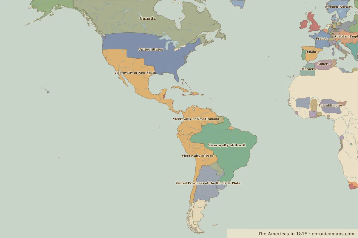
| Place | At birth (map of 1800) | At death (map of 1815) |
|---|---|---|
| Hodgenville, Kentucky | United States of America | United States |
| Washington, D.C. | United States of America | United States |
From the border maps nearest to each date; borders are approximate.
Events in his lifetime
| Year | Event | Where |
|---|---|---|
| 1814 | British troops burn the White House and the Capitol | Washington, D.C. |
Battles and sites of the time
- Battle of The Alamo · 1836
- Battle of Gettysburg · 1863
Further reading
Contemporaries
| Lived | Person | |
|---|---|---|
| 1802 – 1885 | Victor Hugo | Writer |
| 1806 – 1872 | Benito Juárez | President of Mexico |
| 1807 – 1882 | Giuseppe Garibaldi | Leader of Italian unification |
| 1809 – 1882 | Charles Darwin | Naturalist |
| 1815 – 1898 | Otto von Bismarck | Chancellor of Germany |
| 1818 – 1883 | Karl Marx | Philosopher and economist |
| 1819 – 1901 | Queen Victoria | Queen of the United Kingdom |
| 1821 – 1881 | Fyodor Dostoevsky | Writer |
| 1778 – 1850 | José de San Martín | Leader of South American independence |
| 1785 – 1850 | Lin Zexu | Qing official |
Last updated 9 November 2026. Sources: border data from historical-basemaps, land and rivers from Natural Earth; texts written for Chronica Maps from standard reference works. How we make the maps.