Home › Battles & sites › Battle of Yorktown Battle of Yorktown 1781
American and French forces besiege Cornwallis; his surrender effectively ends the War of Independence.
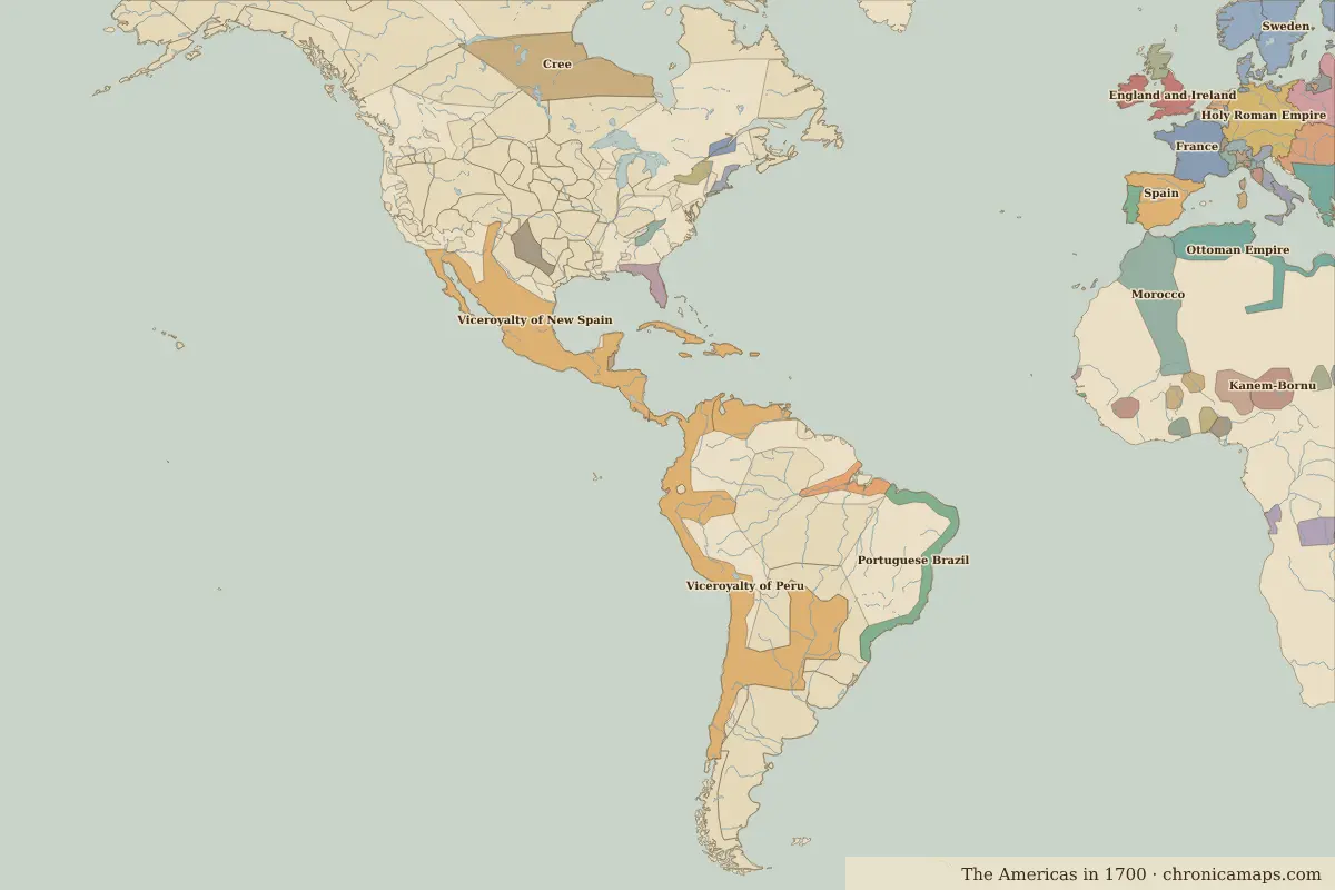
Yorktown Border map for 1700. See the world in 1700 . Open Battle of Yorktown in the interactive map
Embed this interactive map on your site Free to use on blogs, school pages and course sites. Copy the code below; please keep the credit line.
Key facts
Date 1781 Type Battle Location 37.24° N, 76.51° W Nearest city on the map Washington, D.C. (about 190 km)Territory of (map of 1700)
Rulers in 1781 Realm Ruler Reign Spain Charles III 1759–1788
The world around 1781 Year Event Where 1776 The Declaration of Independence Philadelphia
Other battles and sites nearby Further reading Who was alive at the time
Last updated 9 November 2026. Sources: border data from historical-basemaps , land and rivers from Natural Earth; texts written for Chronica Maps from standard reference works. How we make the maps .
 Yorktown