Jamestown 1607
The first permanent English settlement in North America.
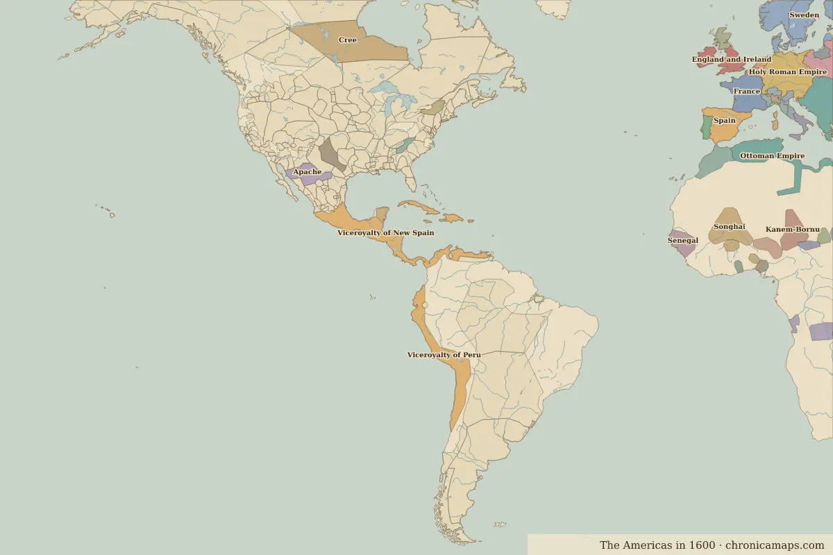 Jamestown
Open Jamestown in the interactive map
Key facts
| Date | 1607 |
| Type | Historic site or event |
| Location | 37.21° N, 76.78° W |
| Nearest city on the map | Washington, D.C. (about 189 km) |
| Territory of (map of 1600) | Unclaimed / no data |
Rulers in 1607
| Realm | Ruler | Reign |
|---|---|---|
| Spain | Philip III | 1598–1621 |
Other battles and sites nearby
- Battle of Yorktown · 1781
- Battle of Gettysburg · 1863
Further reading
Who was alive at the time
| Lived | Person | |
|---|---|---|
| c. 1574 – 1635 | Samuel de Champlain | Explorer |
Last updated 9 November 2026. Sources: border data from historical-basemaps, land and rivers from Natural Earth; texts written for Chronica Maps from standard reference works. How we make the maps.