Simón Bolívar
Born in Caracas, he led Venezuela, Colombia, Ecuador, Peru and Bolivia to independence from Spain and is known as El Libertador.
| Lived | 1783 – 1830 |
| Known as | Liberator of South America |
| Birthplace or main place | Caracas |
| Places on the map | Caracas, Bogotá, Quito, Lima |
 Caracas
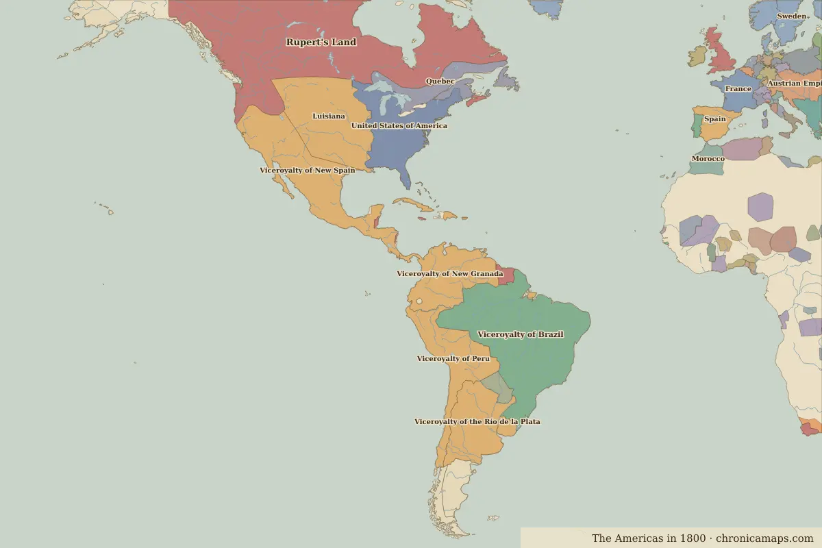
See the world of Simón Bolívar in the interactive map
Who ruled these places in his lifetime
| Place | At birth (map of 1783) | At death (map of 1815) |
|---|---|---|
| Caracas | Viceroyalty of New Granada | same |
| Bogotá | Viceroyalty of New Granada | same |
| Quito | Viceroyalty of New Granada | same |
| Lima | Viceroyalty of Peru | same |
From the border maps nearest to each date; borders are approximate.
Events in his lifetime
| Year | Event | Where |
|---|---|---|
| 1783 | Simón Bolívar is born | Caracas |
| 1809 | The uprising of 10 August, called the first cry of independence | Quito |
| 1810 | The rising of 20 July begins New Granada’s struggle for independence | Bogotá |
| 1811 | Venezuela declares independence on 5 July | Caracas |
| 1812 | An earthquake destroys much of the city | Caracas |
| 1819 | Bolívar liberates Bogotá | Bogotá |
| 1821 | Caracas is freed after the Battle of Carabobo | Caracas |
| 1821 | San Martín proclaims Peru's independence | Lima |
| 1822 | Sucre liberates Quito at the Battle of Pichincha | Quito |
| 1830 | Ecuador becomes independent with Quito as capital | Quito |
Battles and sites of the time
- Battle of Boyacá · 1819
Further reading
Contemporaries
| Lived | Person | |
|---|---|---|
| 1749 – 1832 | Johann Wolfgang von Goethe | Writer |
| 1769 – 1849 | Muhammad Ali Pasha | Ruler of Egypt |
| 1778 – 1850 | José de San Martín | Leader of South American independence |
| 1780 – 1839 | Ranjit Singh | Maharaja of the Sikh Empire |
| 1785 – 1850 | Lin Zexu | Qing official |
| 1770 – 1827 | Ludwig van Beethoven | Composer |
| 1743 – 1826 | Thomas Jefferson | Third president of the United States |
| 1781 – 1826 | Stamford Raffles | British colonial official |
| 1769 – 1821 | Napoleon Bonaparte | Emperor of the French |
| c. 1758 – 1819 | Kamehameha I | King of Hawaiʻi |
Last updated 9 November 2026. Sources: border data from historical-basemaps, land and rivers from Natural Earth; texts written for Chronica Maps from standard reference works. How we make the maps.