Quito: History, Former Names & Timeline
High city in the Andes and the northern stronghold of the Inca Empire; its colonial centre is well preserved.
 Quito
Explore Quito in the interactive map
Former names of Quito
| From | Name | Note |
|---|---|---|
| 1450 | Quito | northern Inca city |
| 1534 | San Francisco de Quito |
Timeline of Quito
| Year | Event |
|---|---|
| 1534 | The Spanish found San Francisco de Quito |
| 1563 | The Royal Audiencia of Quito is created |
| 1809 | The uprising of 10 August, called the first cry of independence |
| 1822 | Sucre liberates Quito at the Battle of Pichincha |
| 1830 | Ecuador becomes independent with Quito as capital |
Who ruled Quito
Derived from the border maps; each row runs until the next recorded border change.
| Period | State |
|---|---|
| 500 BC–2 BC | Manioc farmers |
| 1 BC–1491 | Unclaimed / no data |
| 1492–1499 | Kichwa |
| 1500–1599 | Inca Empire |
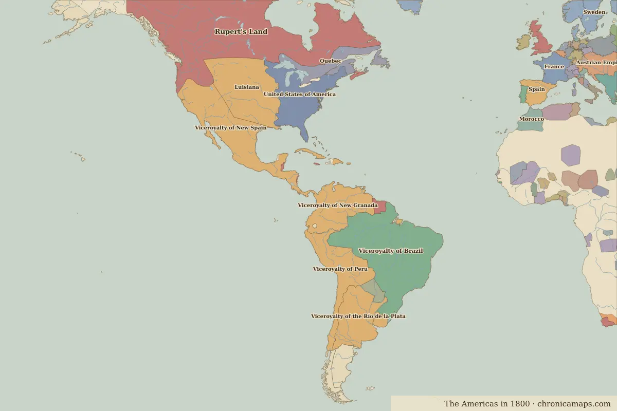
| 1600–1782 | Viceroyalty of Peru |
| 1783–1879 | Viceroyalty of New Granada |
| 1880–today | Ecuador |
Famous people of Quito
| Lived | Person | |
|---|---|---|
| c. 1502 – 1533 | Atahualpa | Sapa Inca |
| 1783 – 1830 | Simón Bolívar | Liberator of South America |
Further reading
Questions about Quito
What was Quito called in the past?
Quito has been known as San Francisco de Quito (from 1534). Its present name dates from 1534.
Which states have ruled Quito?
On the historical border maps from 500 BC to today, Quito lies within 6 different states: Manioc farmers, Kichwa, Inca Empire, Viceroyalty of Peru, Viceroyalty of New Granada, Ecuador.
What are the key dates in the history of Quito?
1534: The Spanish found San Francisco de Quito. 1563: The Royal Audiencia of Quito is created. 1809: The uprising of 10 August, called the first cry of independence. 1822: Sucre liberates Quito at the Battle of Pichincha. 1830: Ecuador becomes independent with Quito as capital.
Which famous people are connected with Quito?
Atahualpa (sapa inca, c. 1502 – 1533); Simón Bolívar (liberator of south america, 1783 – 1830).
Last updated 9 November 2026. Sources: border data from historical-basemaps, land and rivers from Natural Earth; texts written for Chronica Maps from standard reference works. How we make the maps.