The colonial era 1600–1775
Spanish, Portuguese, British, French and Dutch colonies and the plantation economy.
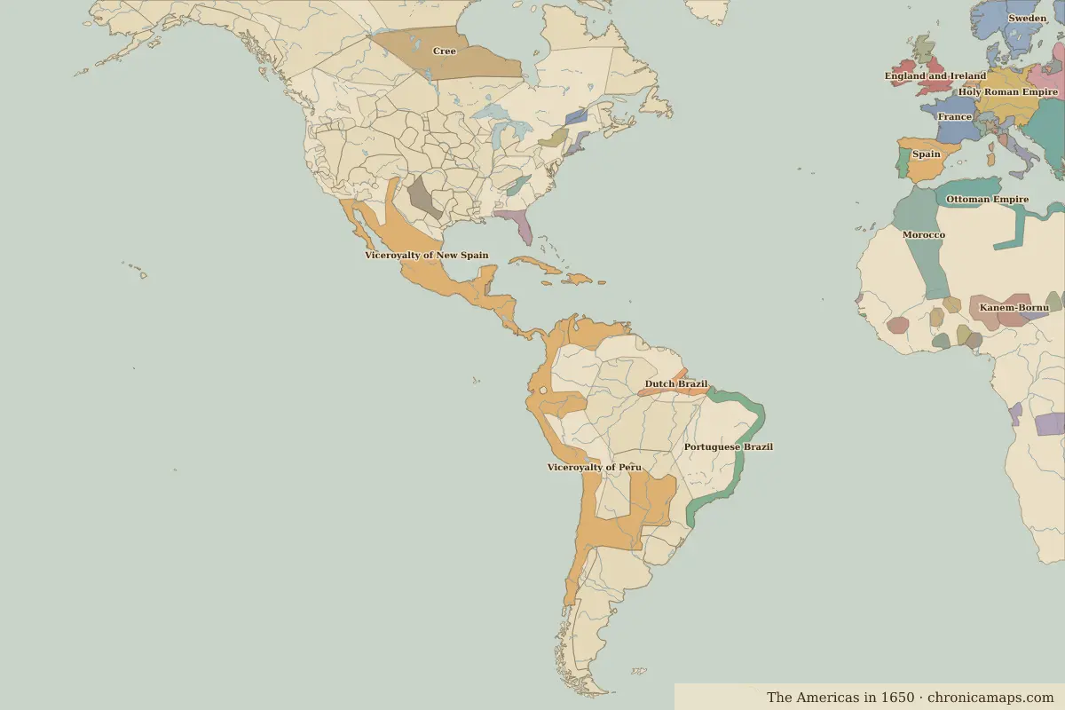
Open the The colonial era in the interactive map
Border maps in this era
Timeline
| Year | Event | Where |
|---|---|---|
| 1607 | Jamestown is founded | Jamestown |
| 1620 | The Mayflower reaches Plymouth | Plymouth Colony |
| 1759 | Battle of the Plains of Abraham | Battle of Plains of Abraham |
| 1773 | The Boston Tea Party | Boston |
Battles and sites
- Jamestown · 1607
- Plymouth Colony · 1620
- Battle of Plains of Abraham · 1759
← Conquest and the Columbian ExchangeThe age of independence →
Notable people of the colonial era
| Lived | Person | |
|---|---|---|
| c. 1574 – 1635 | Samuel de Champlain | Explorer |
| c. 1648 – 1695 | Sor Juana Inés de la Cruz | Poet and scholar |
| 1706 – 1790 | Benjamin Franklin | Scientist and statesman |
| 1732 – 1799 | George Washington | First president of the United States |
| 1743 – 1826 | Thomas Jefferson | Third president of the United States |
| 1746 – 1792 | Tiradentes | Forerunner of Brazilian independence |
Last updated 9 November 2026. Sources: border data from historical-basemaps, land and rivers from Natural Earth; texts written for Chronica Maps from standard reference works. How we make the maps.