Battle of Plains of Abraham 1759
British troops defeat the French outside Quebec; both commanders, Wolfe and Montcalm, are killed and New France falls.
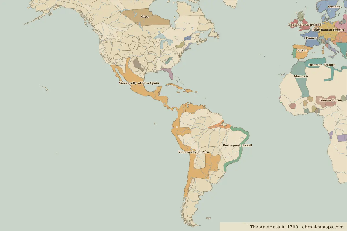 Plains of Abraham
Open Battle of Plains of Abraham in the interactive map
Key facts
| Date | 1759 |
| Type | Battle |
| Location | 46.80° N, 71.22° W |
| Nearest city on the map | Quebec City (about 1 km) |
| Territory of (map of 1700) | New France |
Rulers in 1759
| Realm | Ruler | Reign |
|---|---|---|
| Spain | Charles III | 1759–1788 |
Further reading
Who was alive at the time
| Lived | Person | |
|---|---|---|
| 1706 – 1790 | Benjamin Franklin | Scientist and statesman |
| 1732 – 1799 | George Washington | First president of the United States |
| 1743 – 1826 | Thomas Jefferson | Third president of the United States |
Last updated 9 November 2026. Sources: border data from historical-basemaps, land and rivers from Natural Earth; texts written for Chronica Maps from standard reference works. How we make the maps.