Smolensk: History, Former Names & Timeline
Old city on the upper Dnieper guarding the western approach to Moscow, which changed hands between Lithuania, Poland and Russia for centuries.
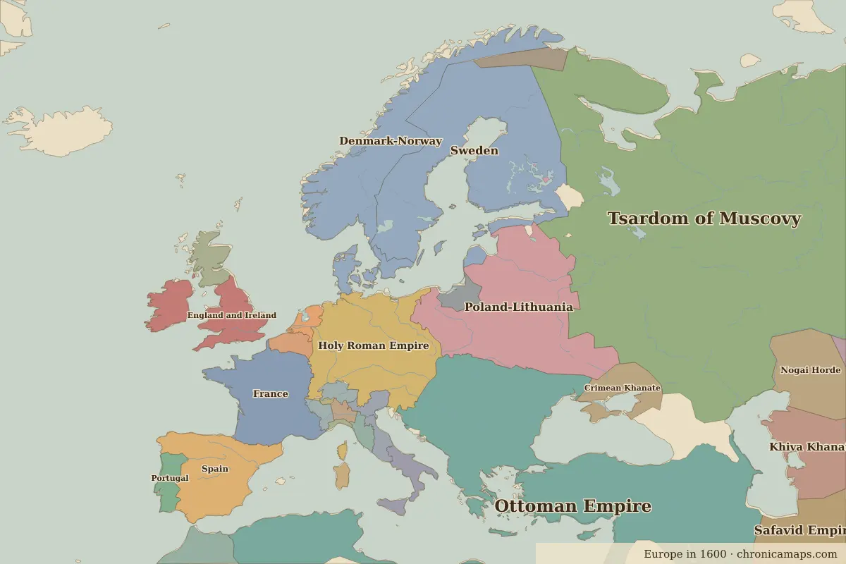 Smolensk
Explore Smolensk in the interactive map
Former names of Smolensk
| From | Name | Note |
|---|---|---|
| AD 863 | Smolensk |
Timeline of Smolensk
| Year | Event |
|---|---|
| AD 863 | Smolensk first appears in the Primary Chronicle |
| 1404 | Grand Duke Vytautas of Lithuania takes Smolensk |
| 1514 | Vasily III of Moscow takes Smolensk |
| 1611 | Poland–Lithuania takes the city after a two-year siege |
| 1654 | Russia retakes Smolensk |
| 1812 | Napoleon defeats the Russians at Smolensk |
| 1941 | The Battle of Smolensk slows the German advance |
Who ruled Smolensk
Derived from the border maps; each row runs until the next recorded border change.
| Period | State |
|---|---|
| 500 BC–199 | Plain-Pottery culture |
| 200–799 | Unclaimed / no data |
| 800–899 | Slavonic tribes |
| 900–1099 | Kievan Rus' |
| 1100–1199 | Kievan Rus' |
| 1200–1299 | Other Rus Principalities |
| 1300–1399 | Ryazan |
| 1400–1599 | Poland-Lithuania |
| 1600–1782 | Tsardom of Muscovy |
| 1783–1919 | Russian Empire |
| 1920–1929 | USSR |
| 1930–1937 | White Russia |
| 1938–1993 | USSR |
| 1994–today | Russia |
Nearby cities
Further reading
Questions about Smolensk
Which states have ruled Smolensk?
On the historical border maps from 500 BC to today, Smolensk lies within 11 different states: Plain-Pottery culture, Slavonic tribes, Kievan Rus', Other Rus Principalities, Ryazan, Poland-Lithuania, Tsardom of Muscovy, Russian Empire, USSR, White Russia and others.
What are the key dates in the history of Smolensk?
AD 863: Smolensk first appears in the Primary Chronicle. 1404: Grand Duke Vytautas of Lithuania takes Smolensk. 1514: Vasily III of Moscow takes Smolensk. 1611: Poland–Lithuania takes the city after a two-year siege. 1654: Russia retakes Smolensk.
Last updated 9 November 2026. Sources: border data from historical-basemaps, land and rivers from Natural Earth; texts written for Chronica Maps from standard reference works. How we make the maps.